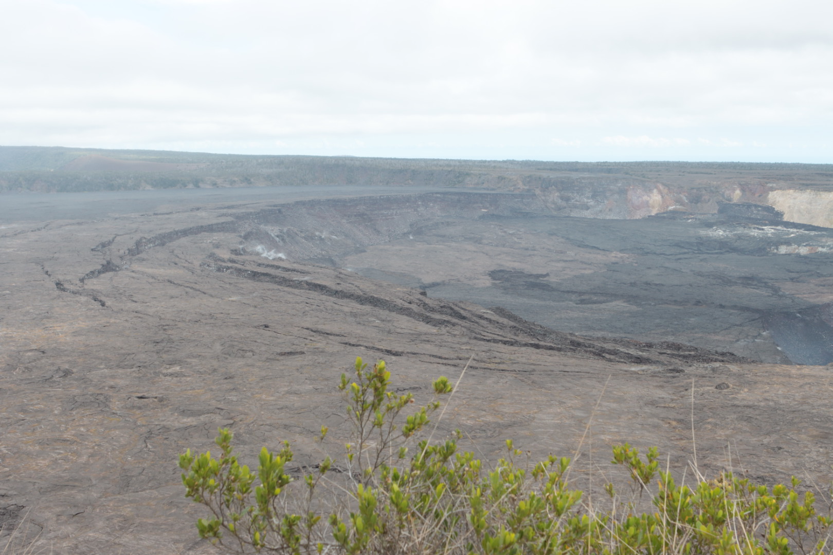
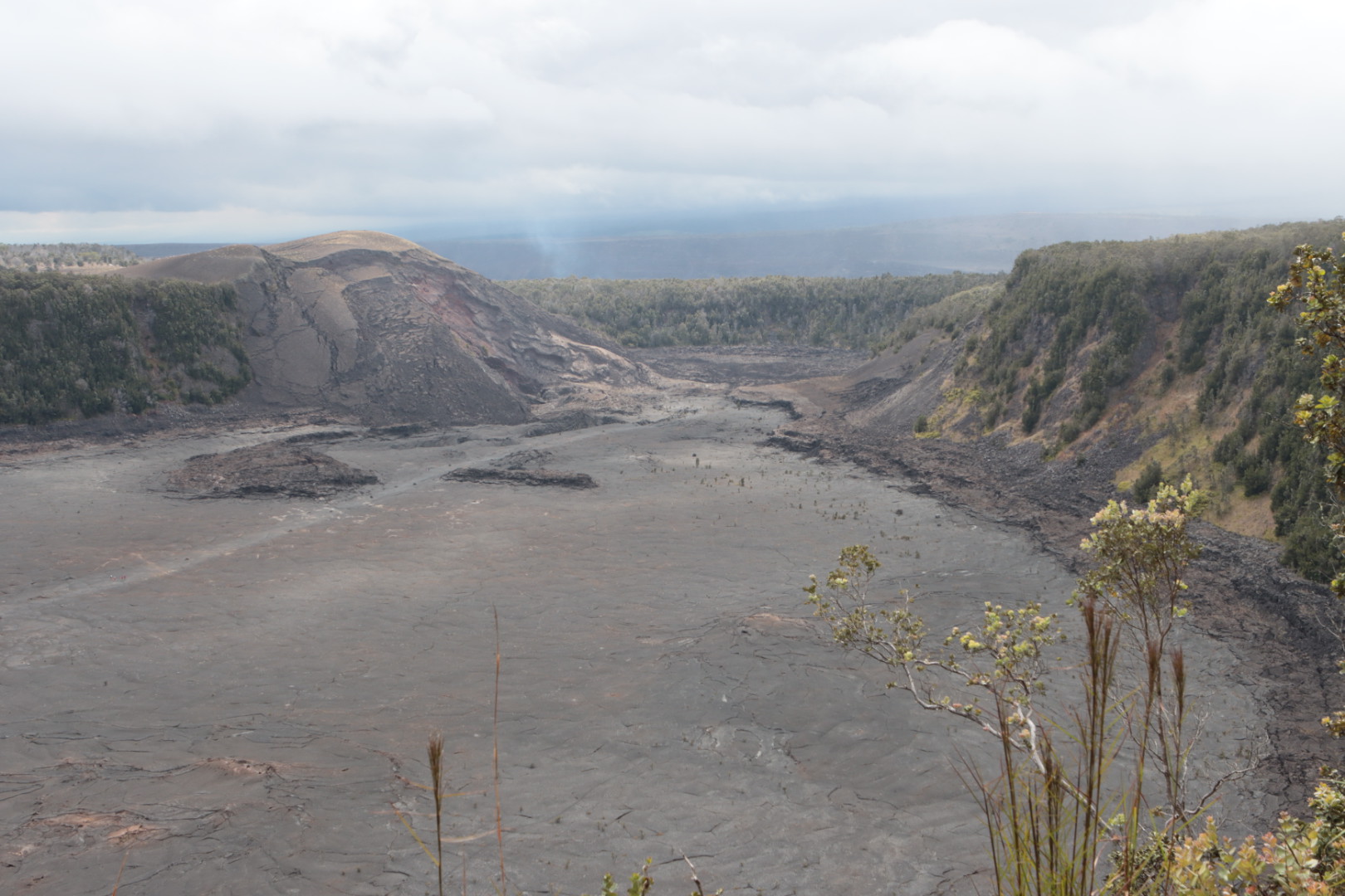
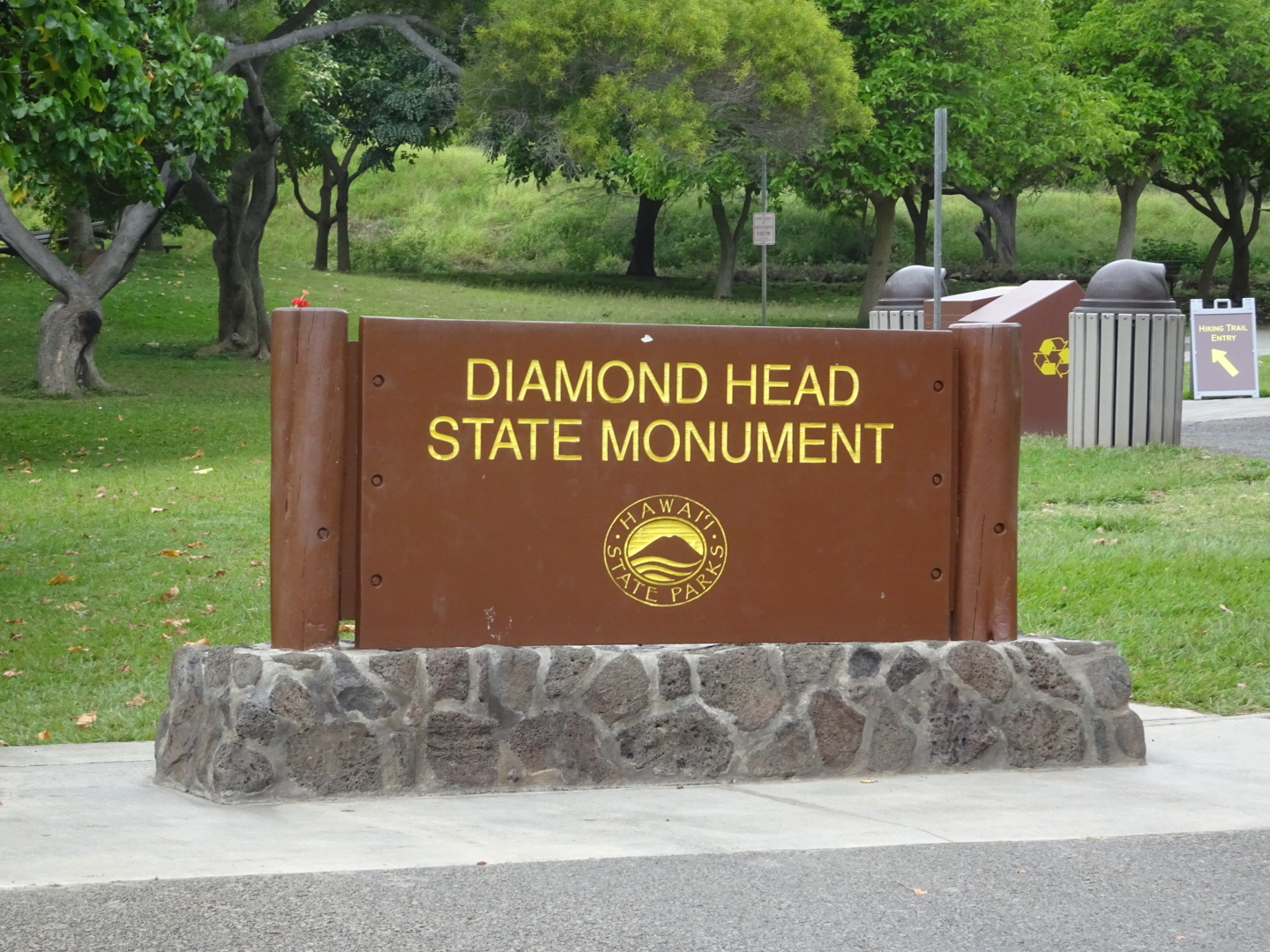
We visited the inside of the crater!
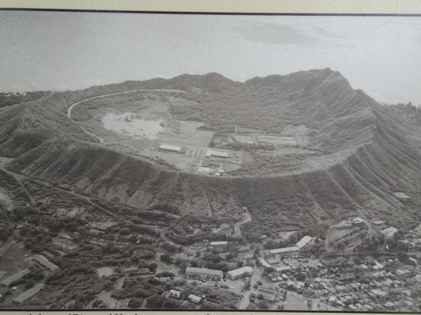
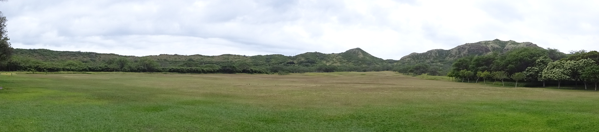
View inside 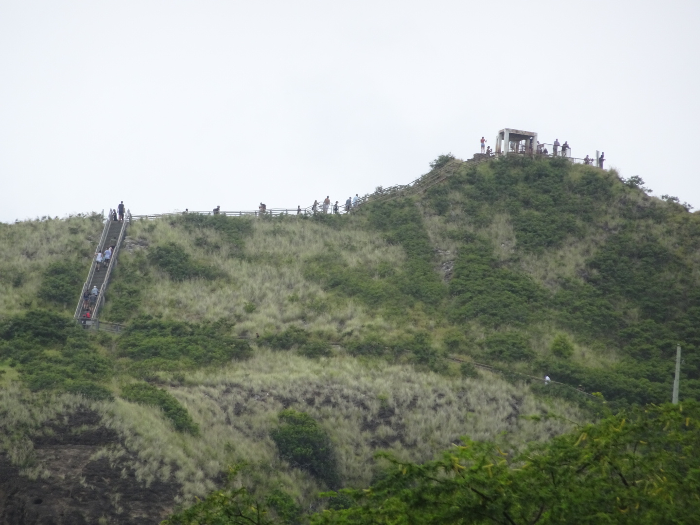
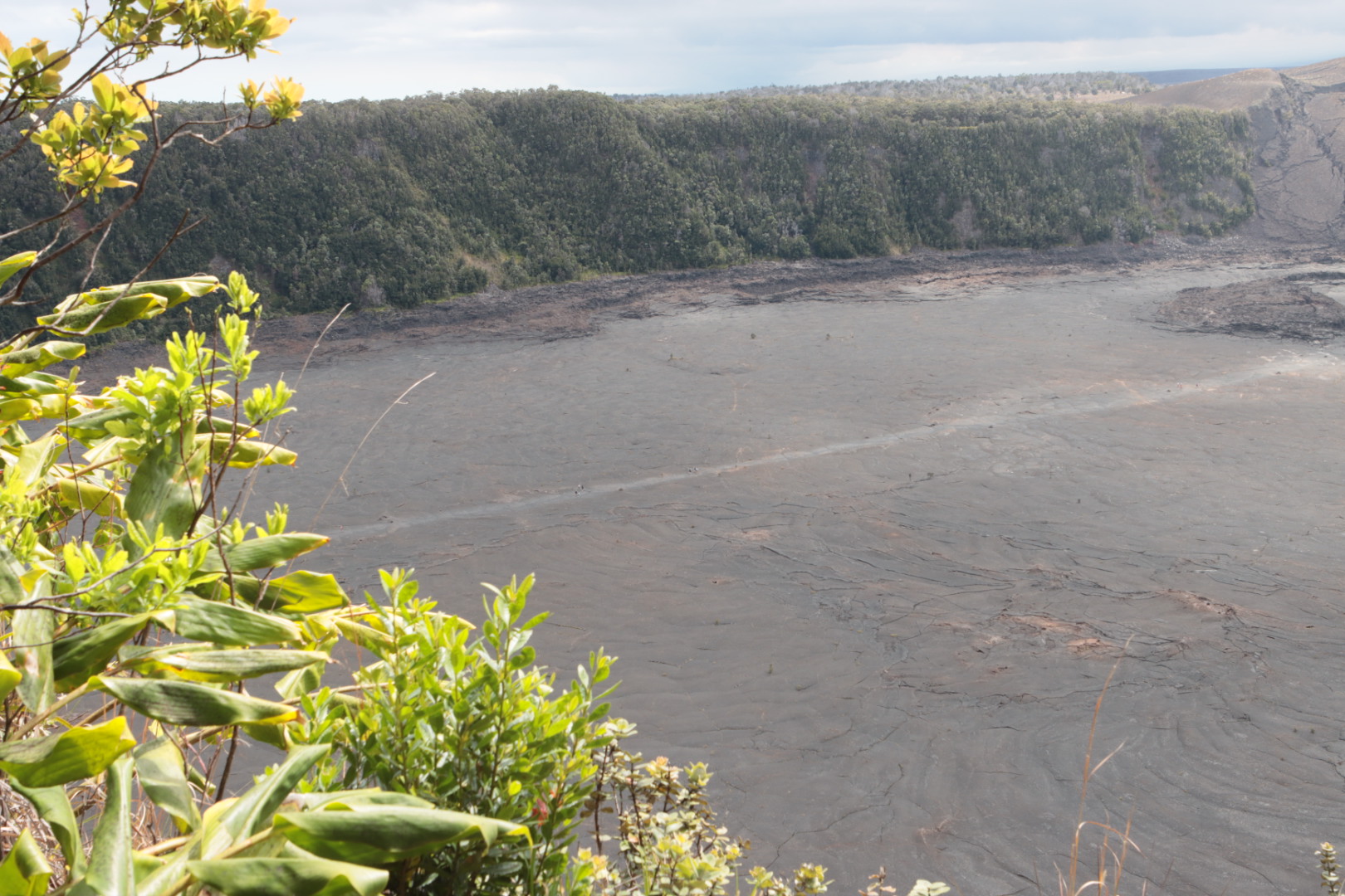
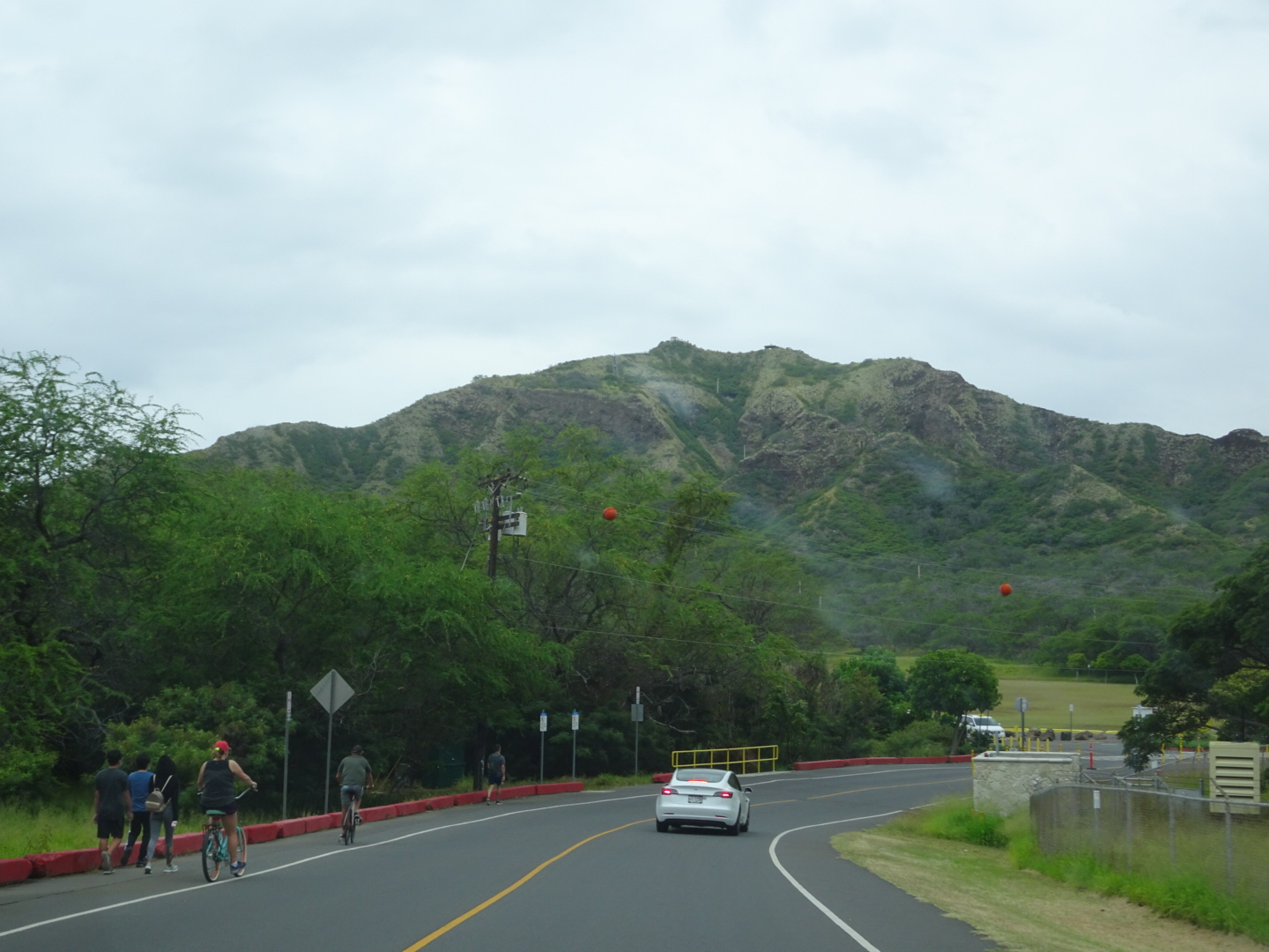
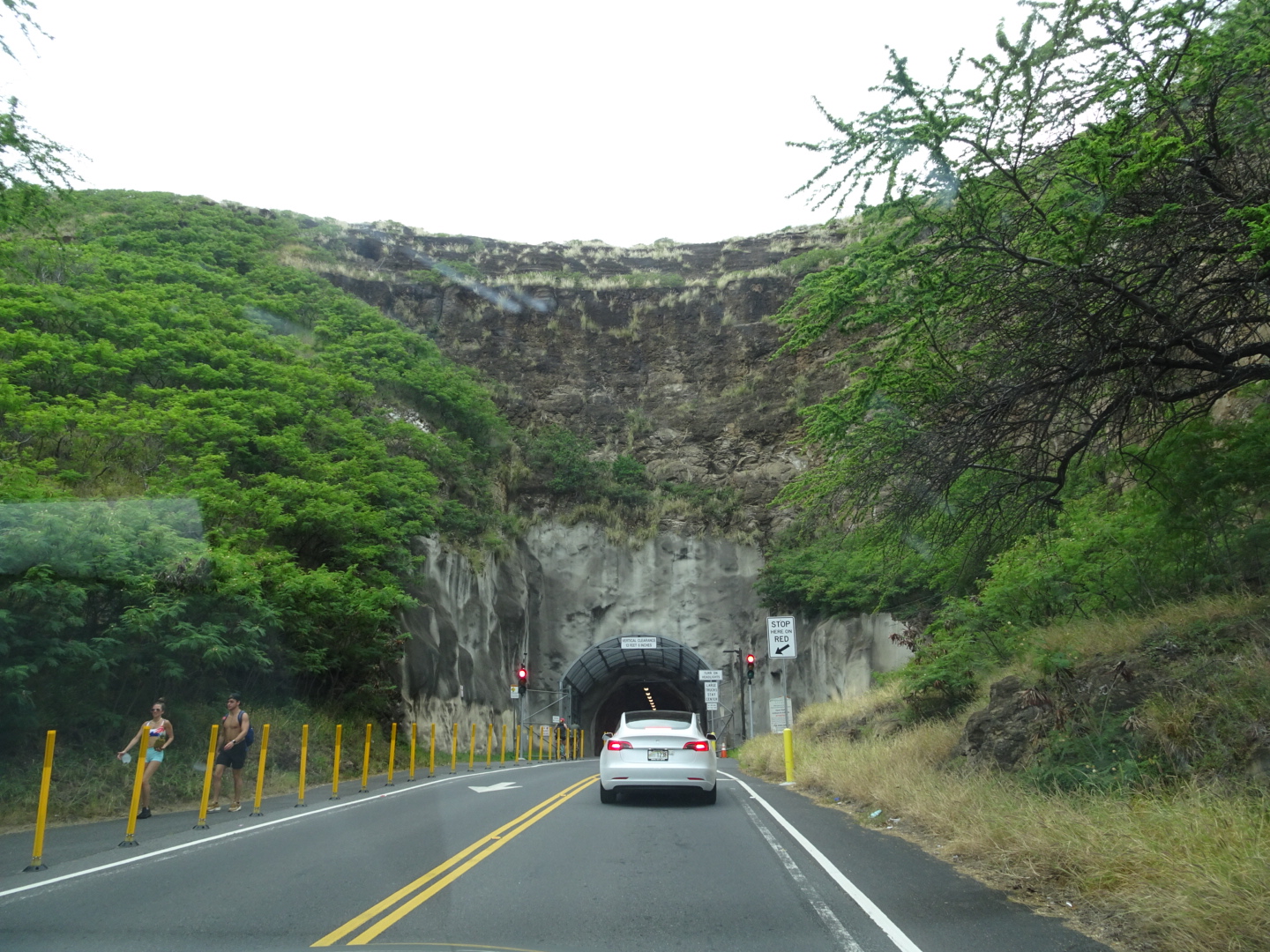
It’s a climb to the rim 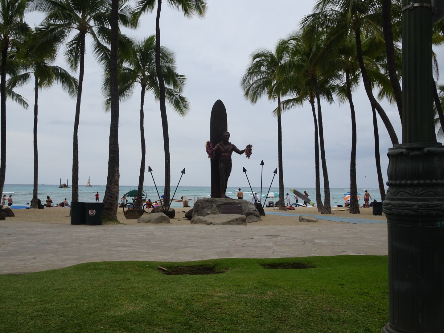
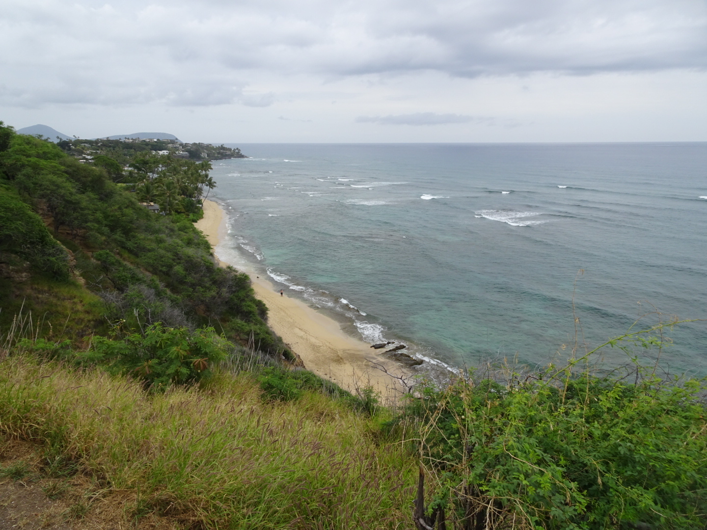
Diamond Head beach 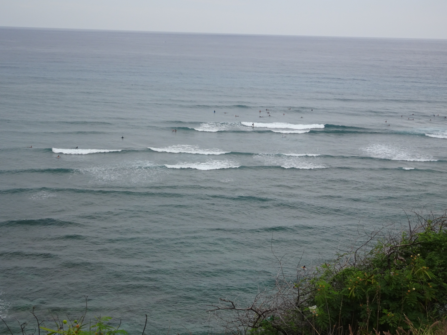
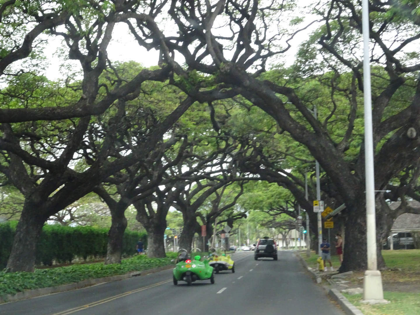
Monkey pod trees 
Whatever it takes!
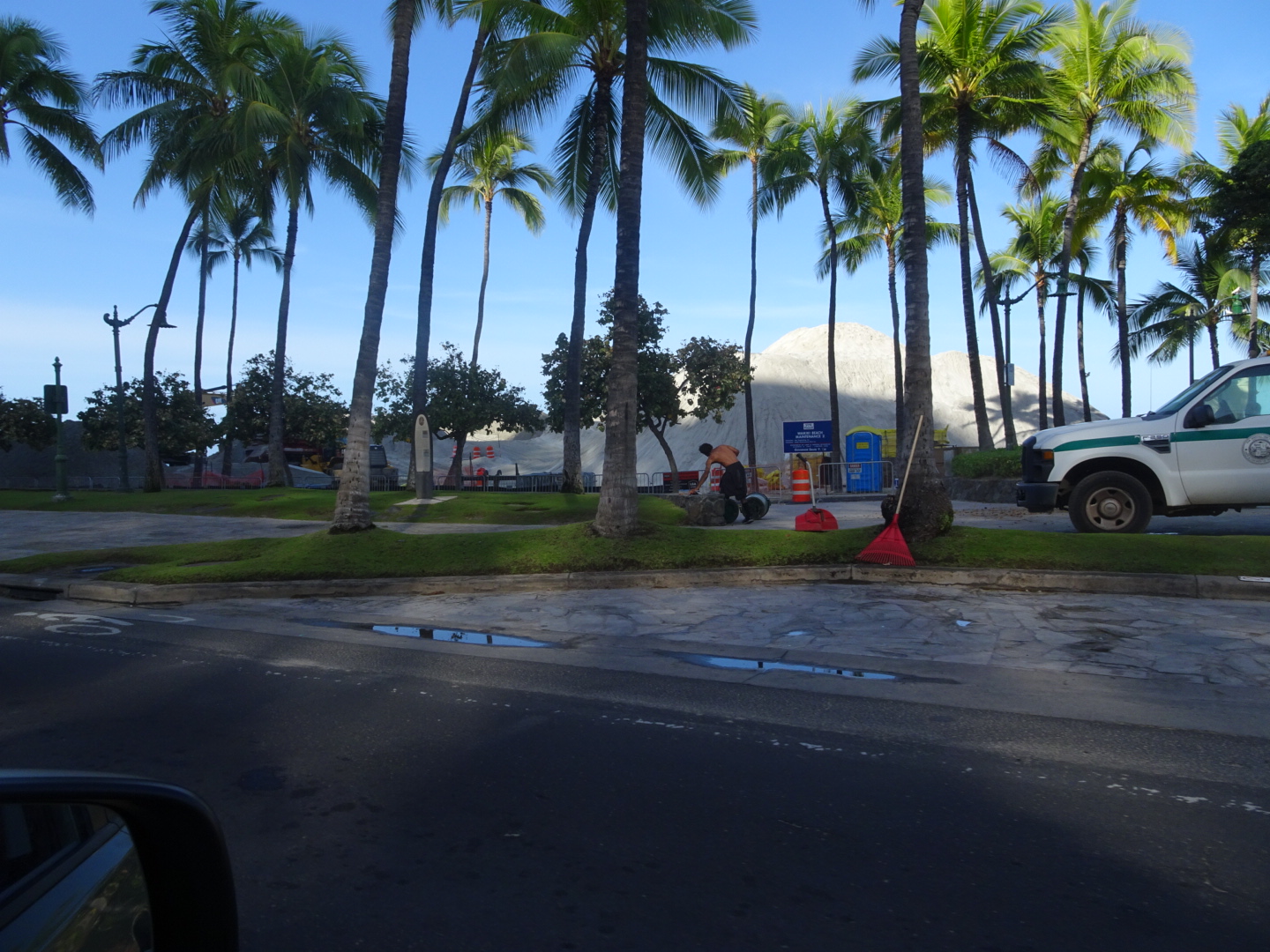
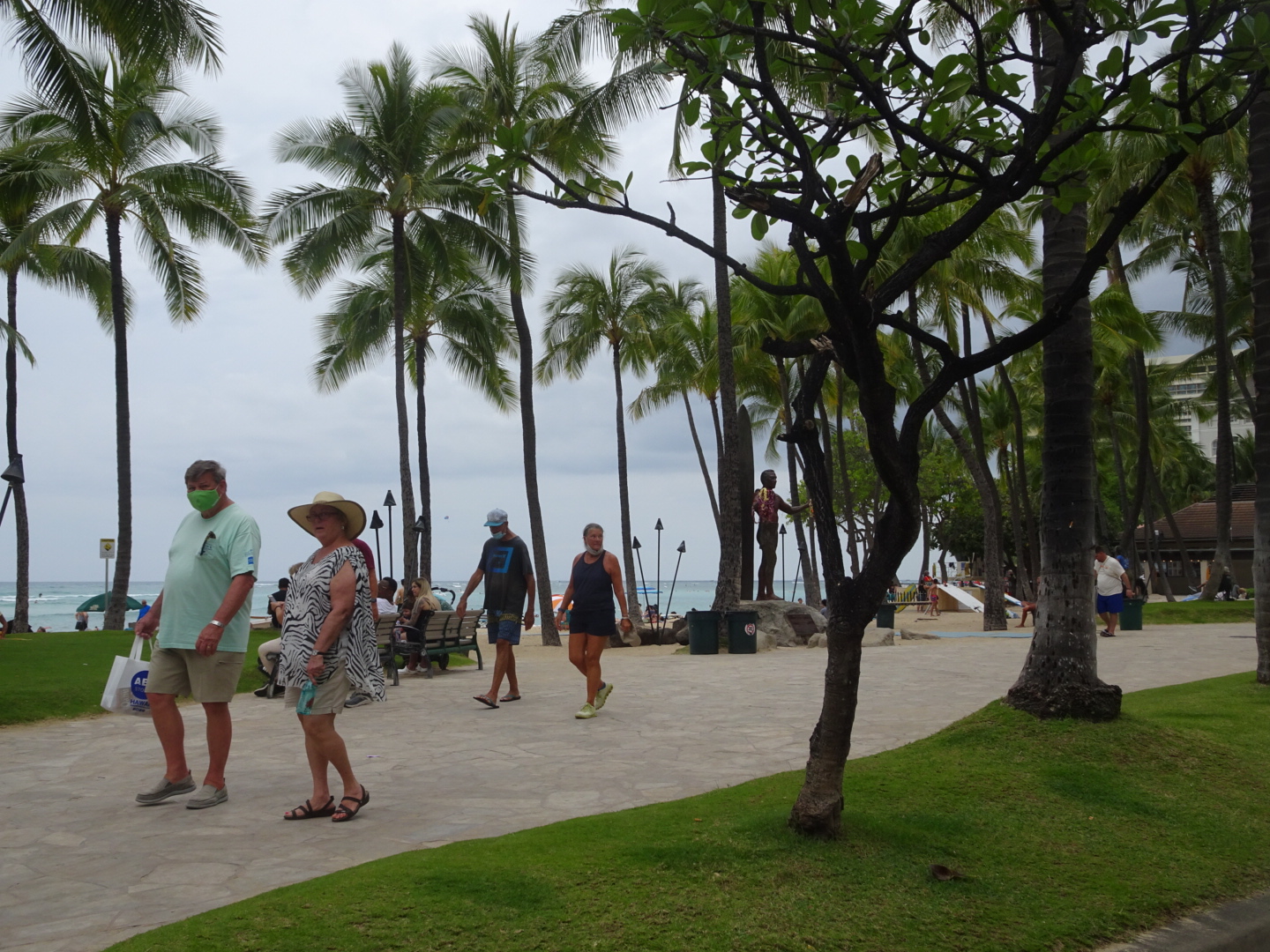
Waikiki sand being replenished…. apparently happens occasional that the sand disappears
We visited the inside of the crater!
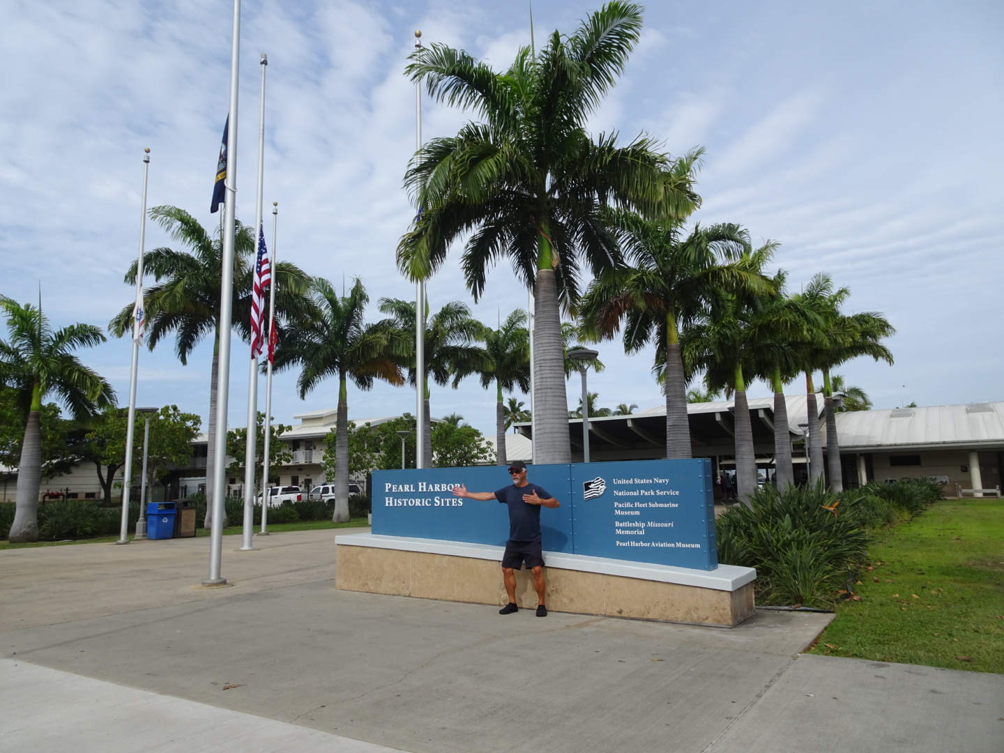
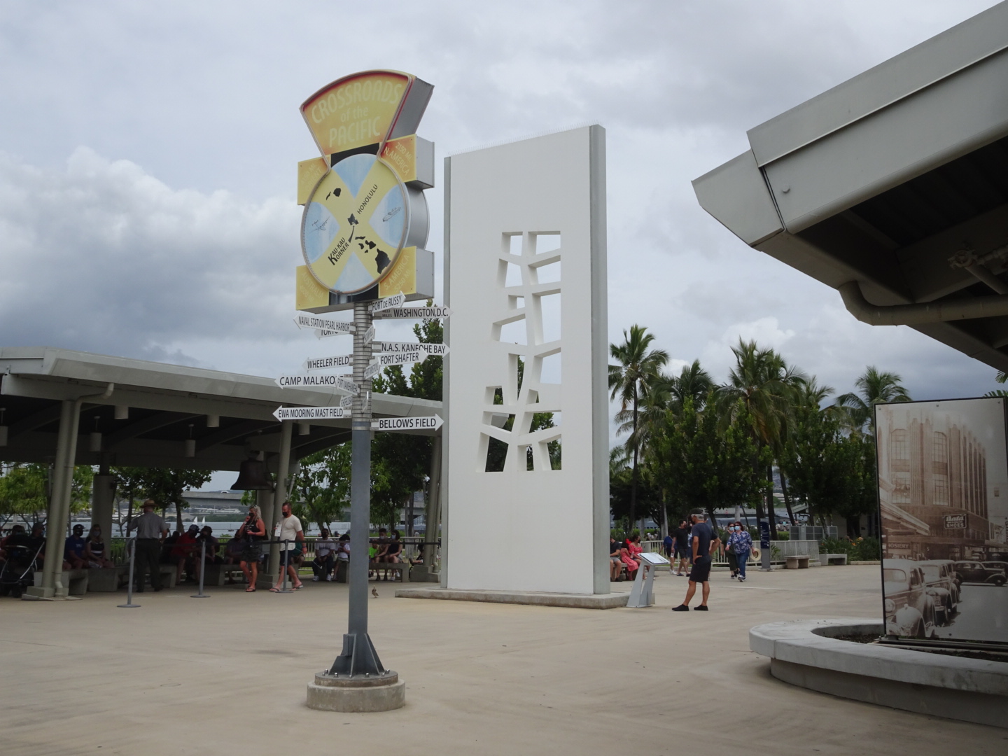
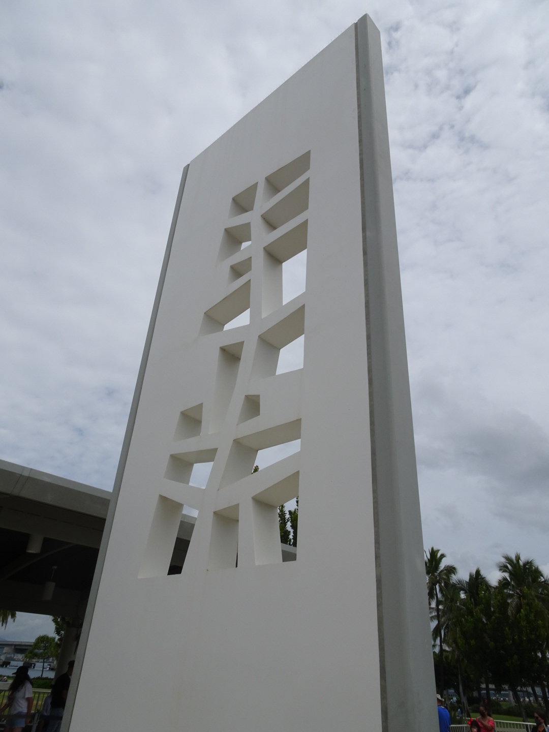
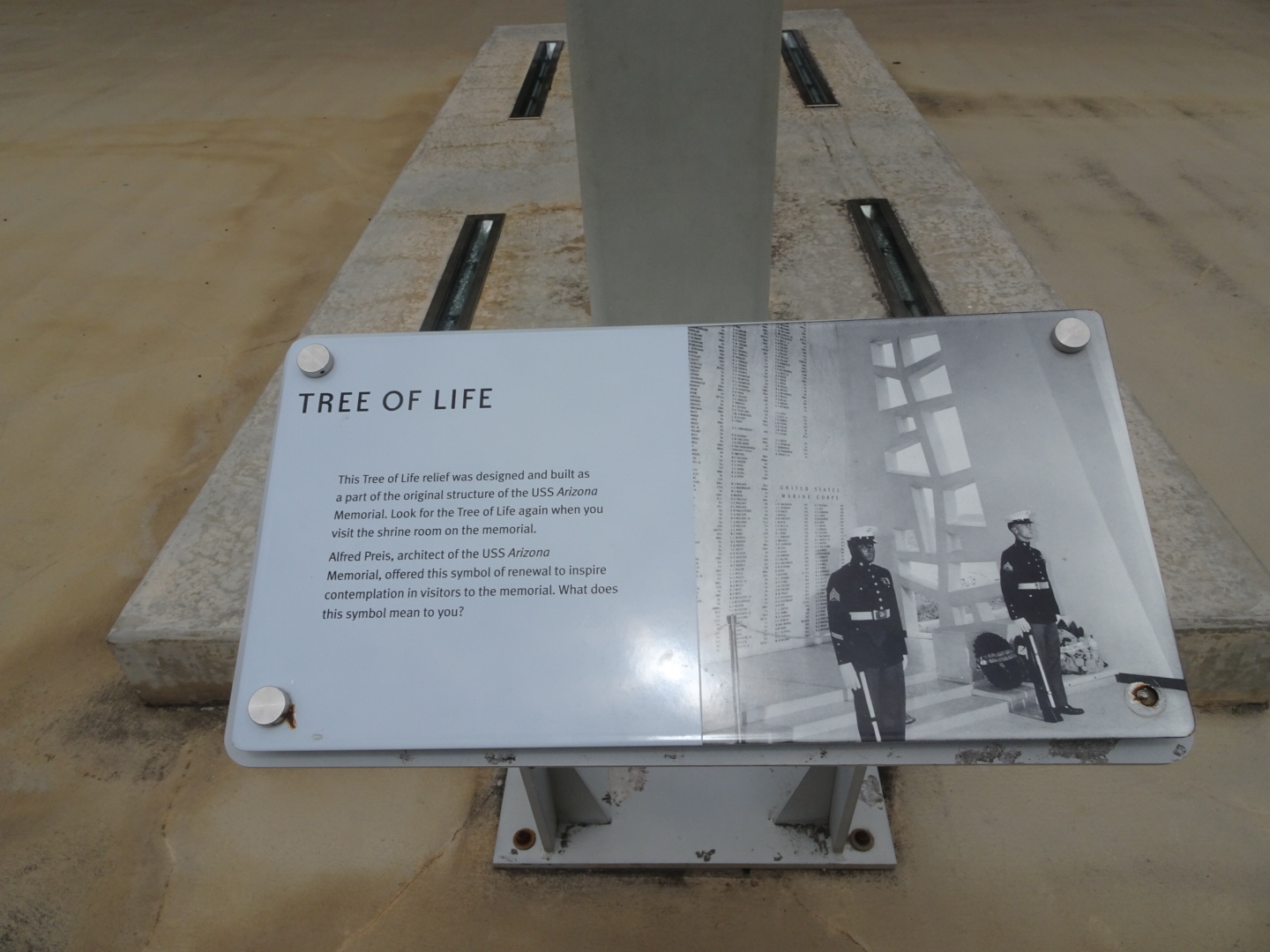
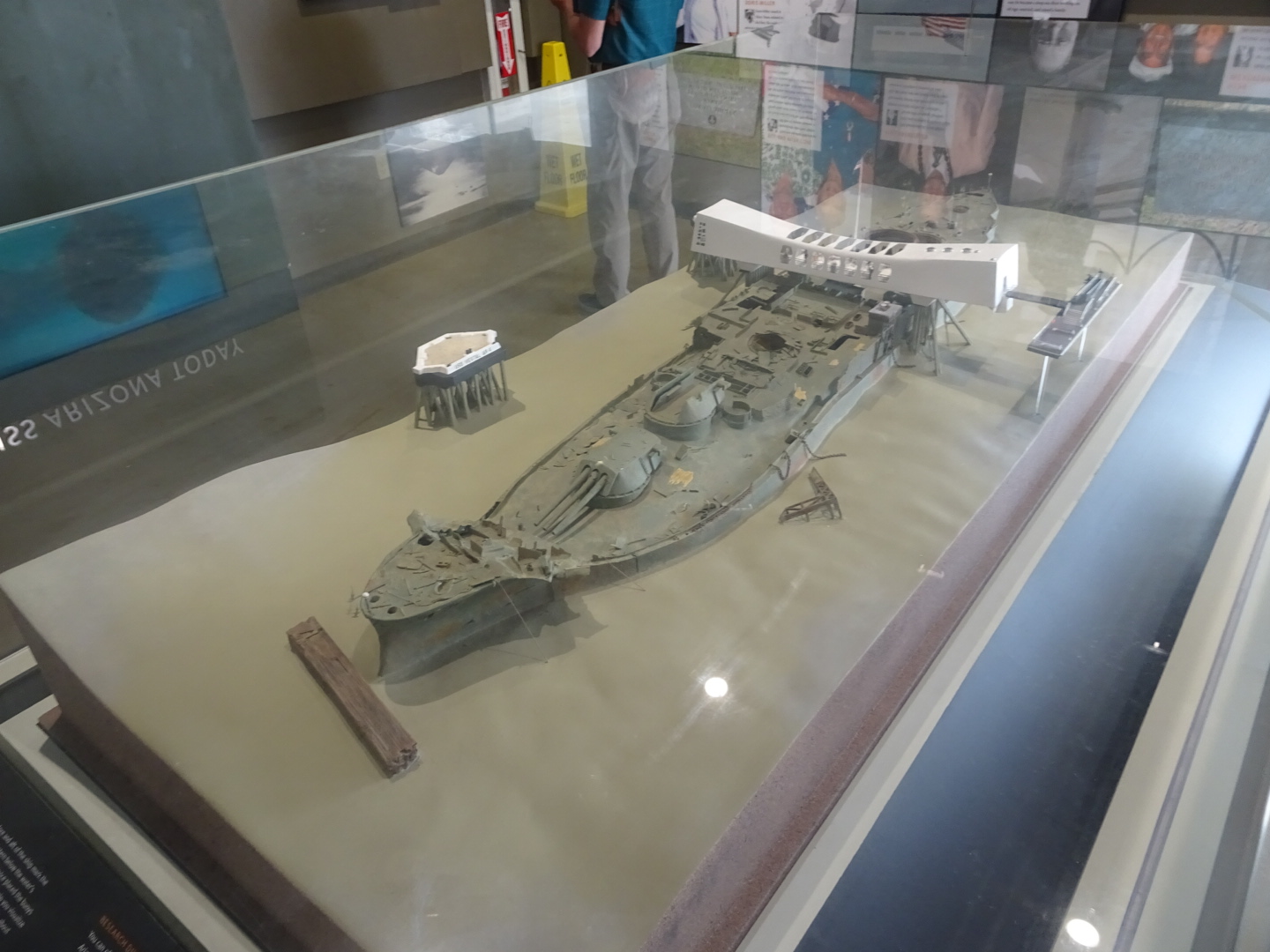
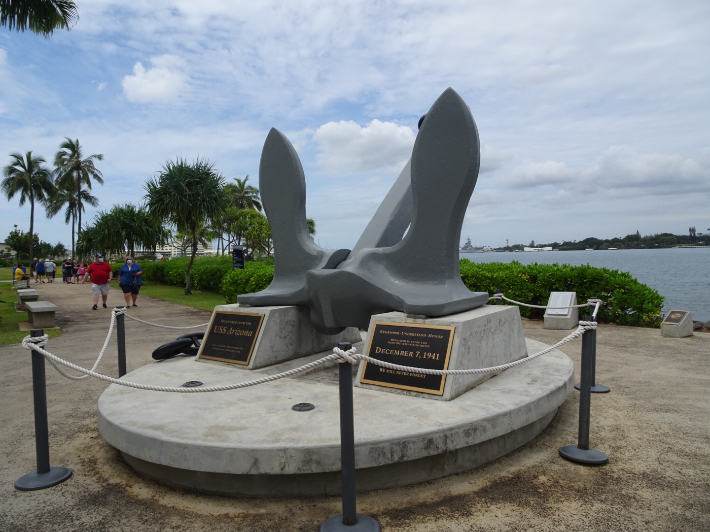
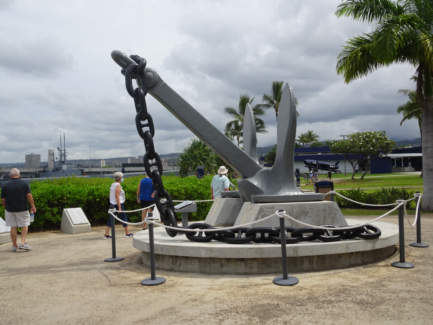
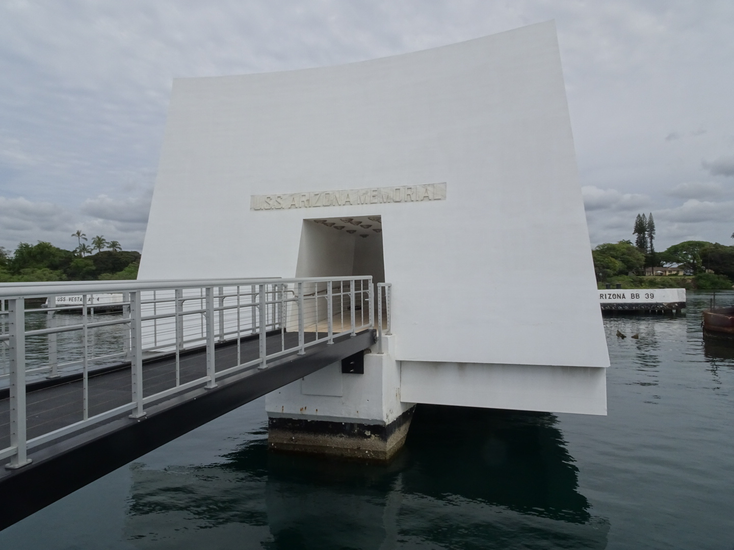
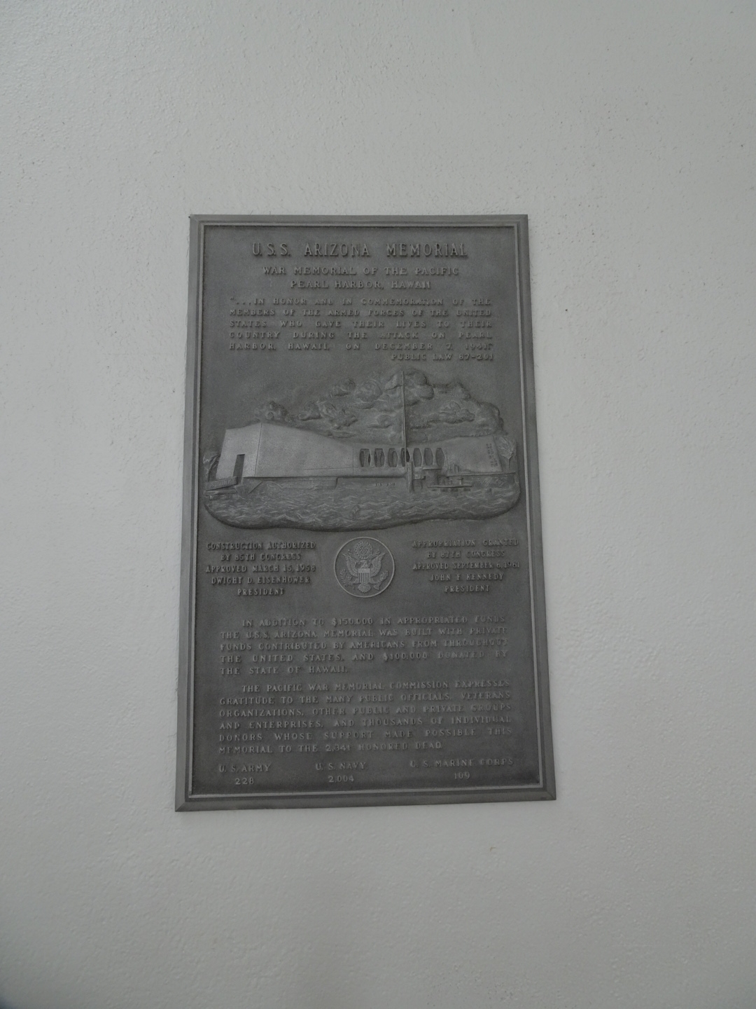
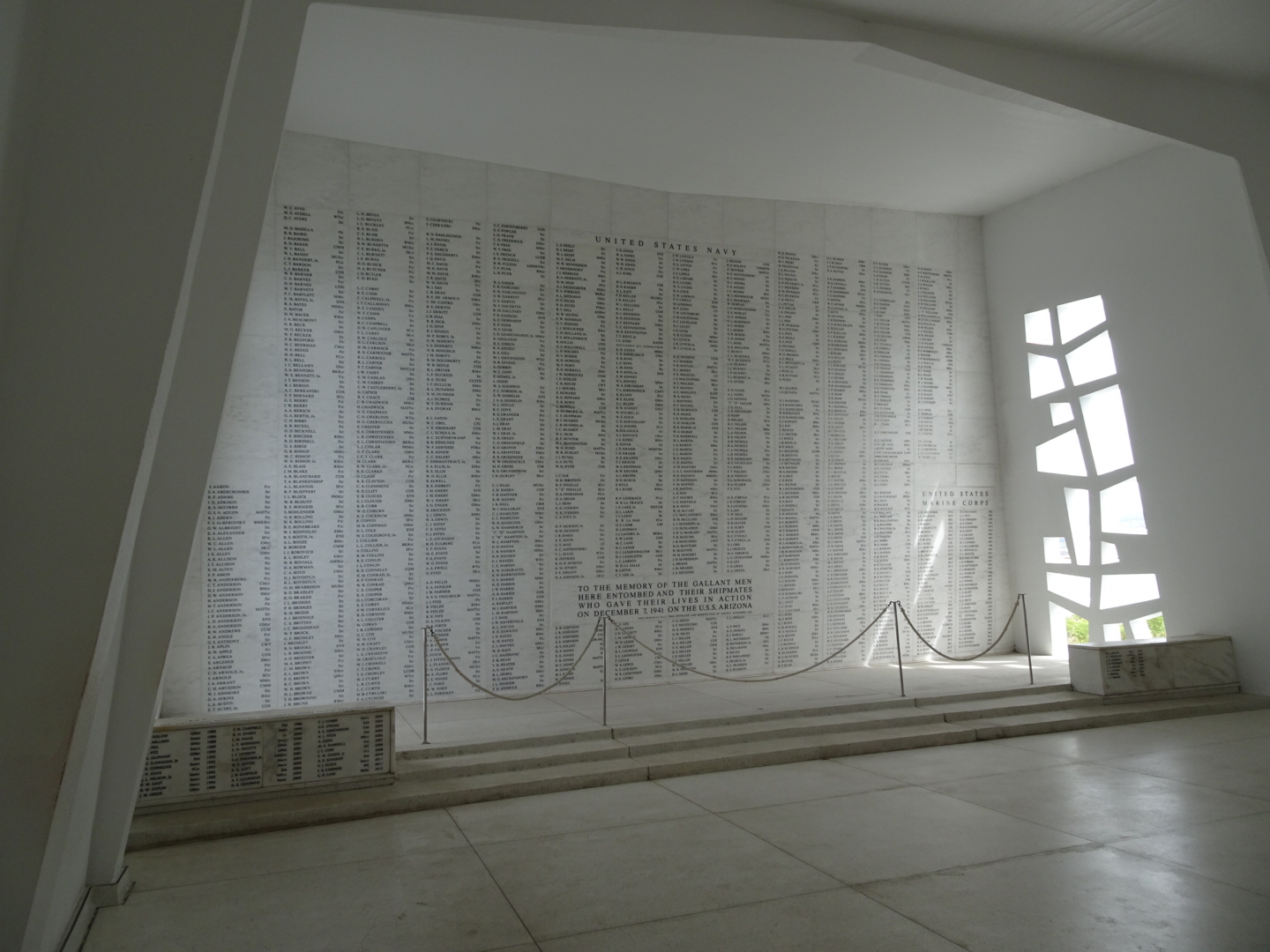
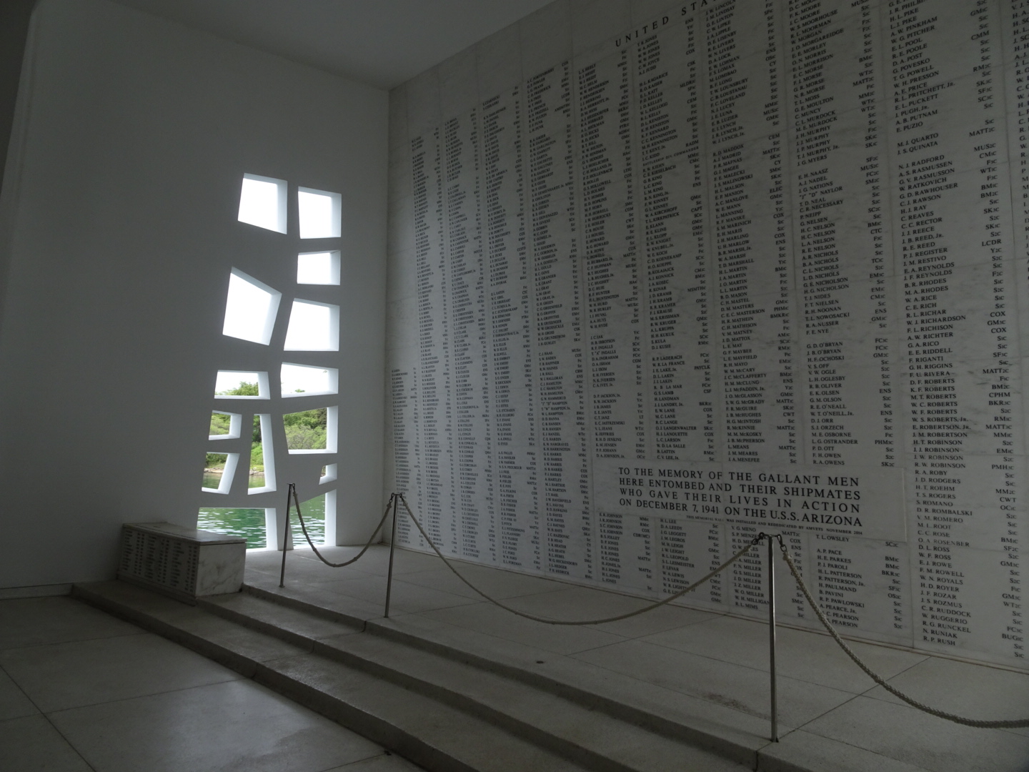
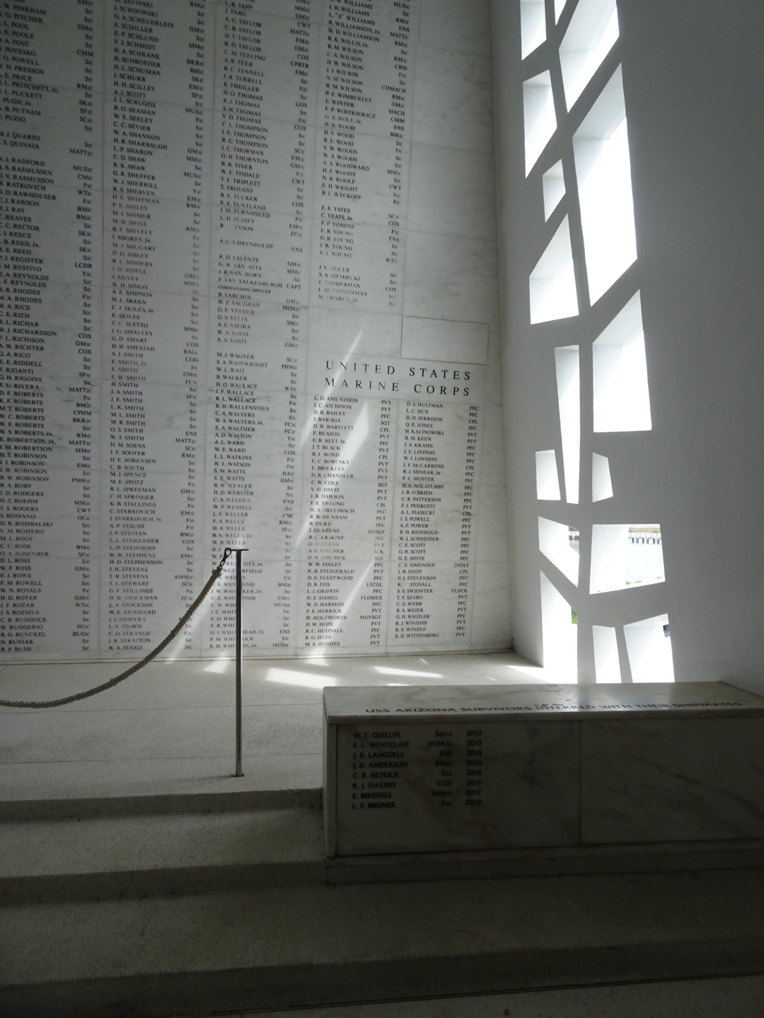
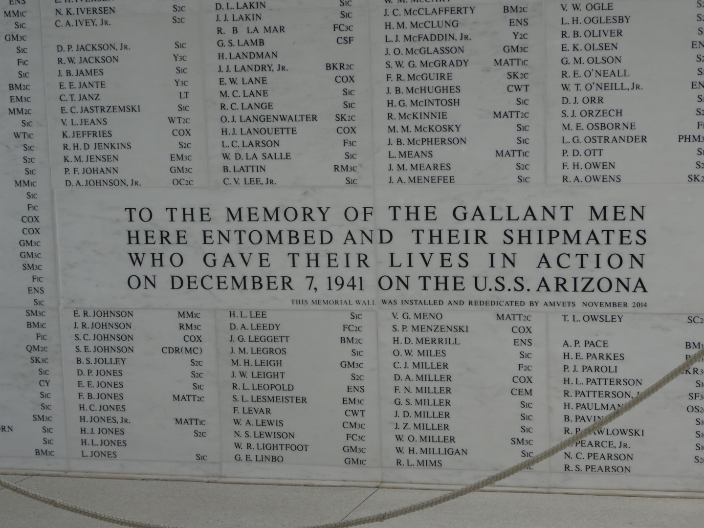
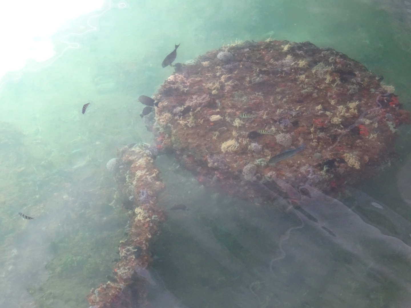
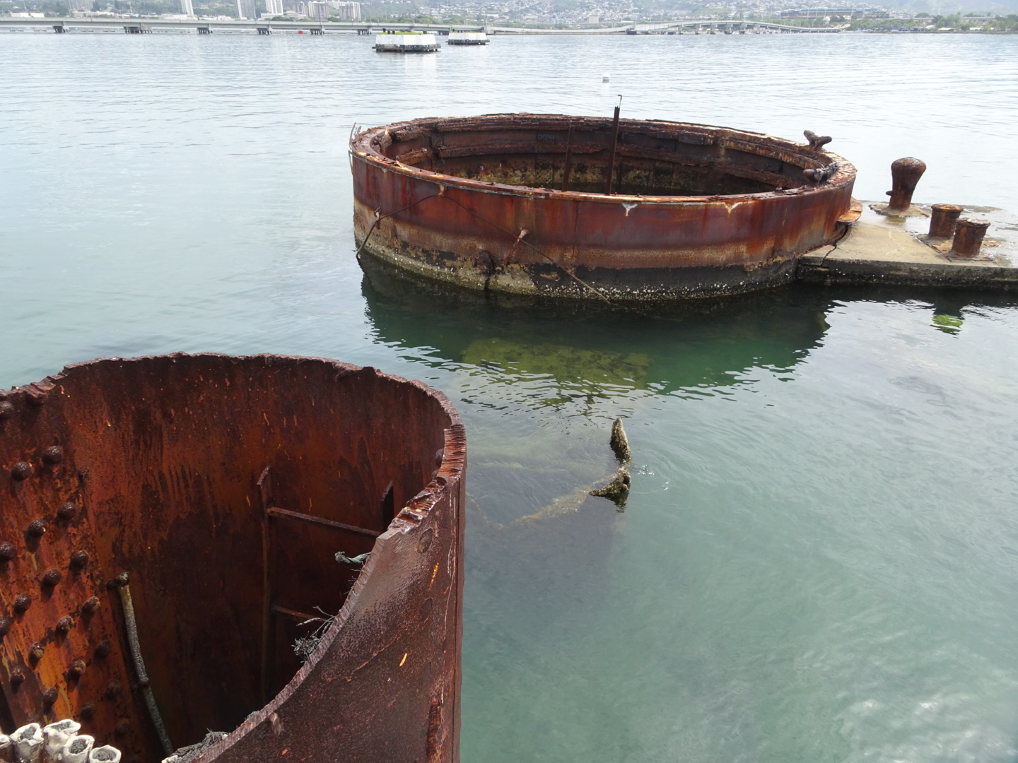
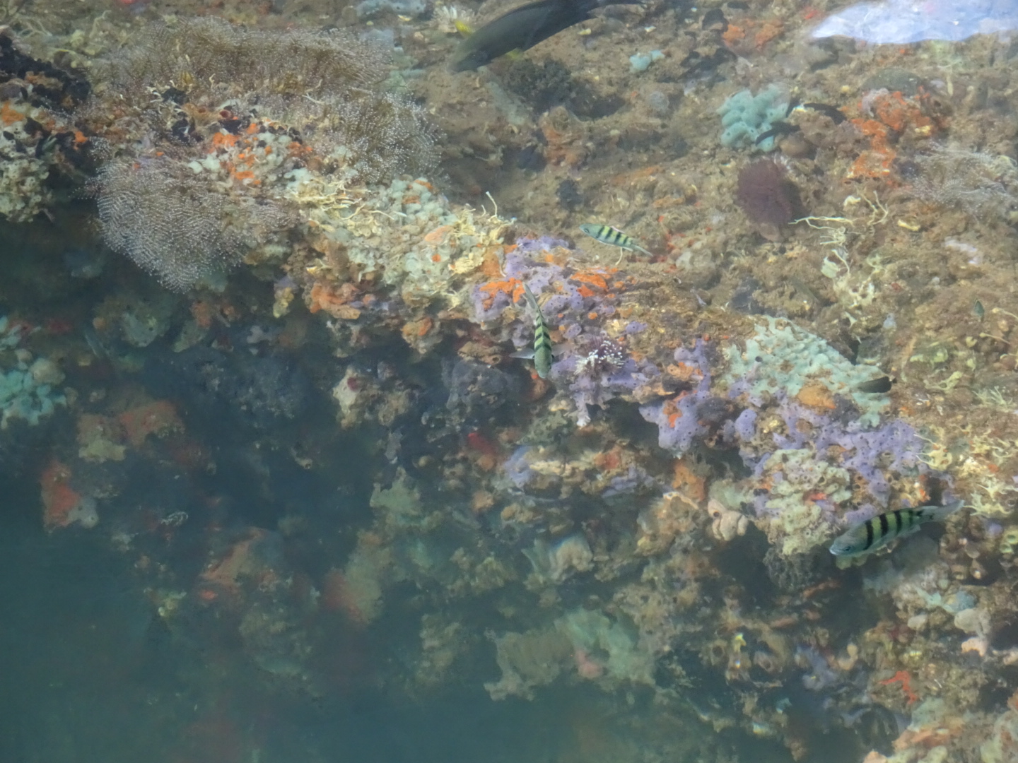
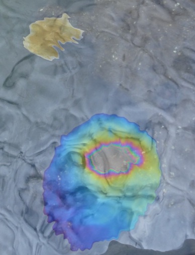
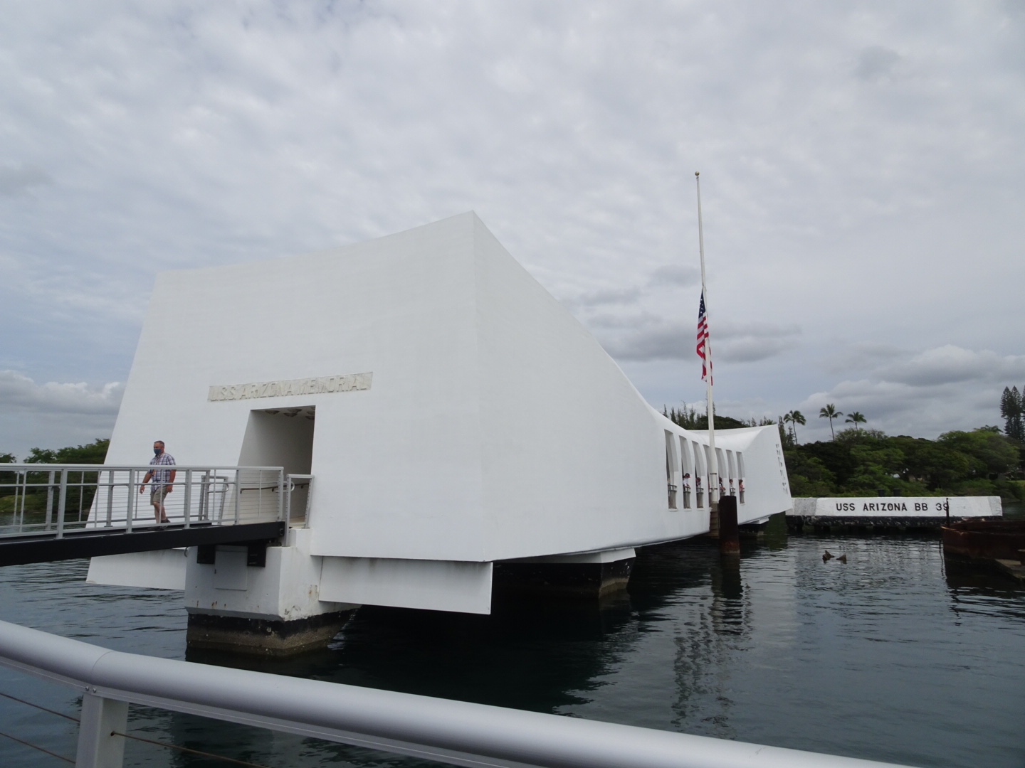
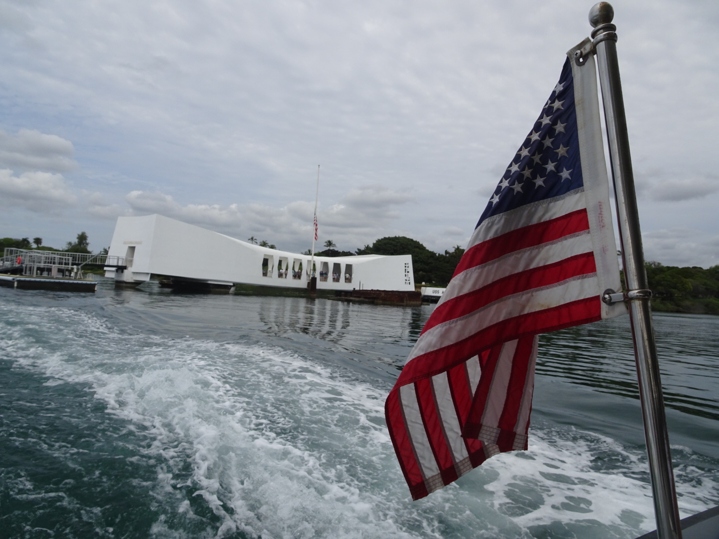
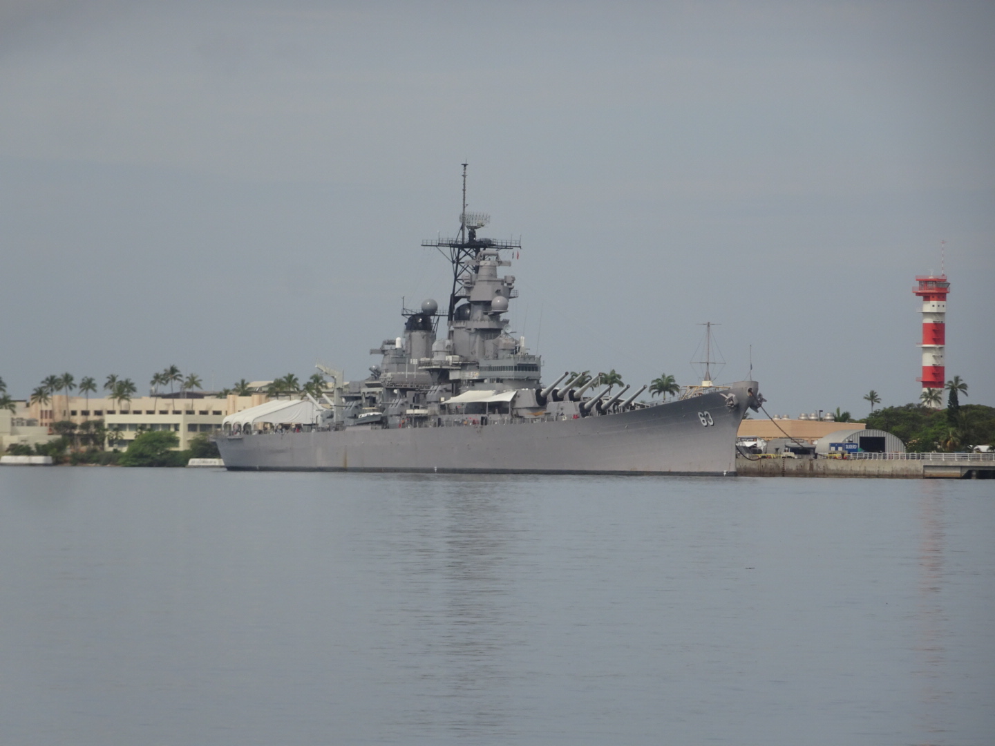
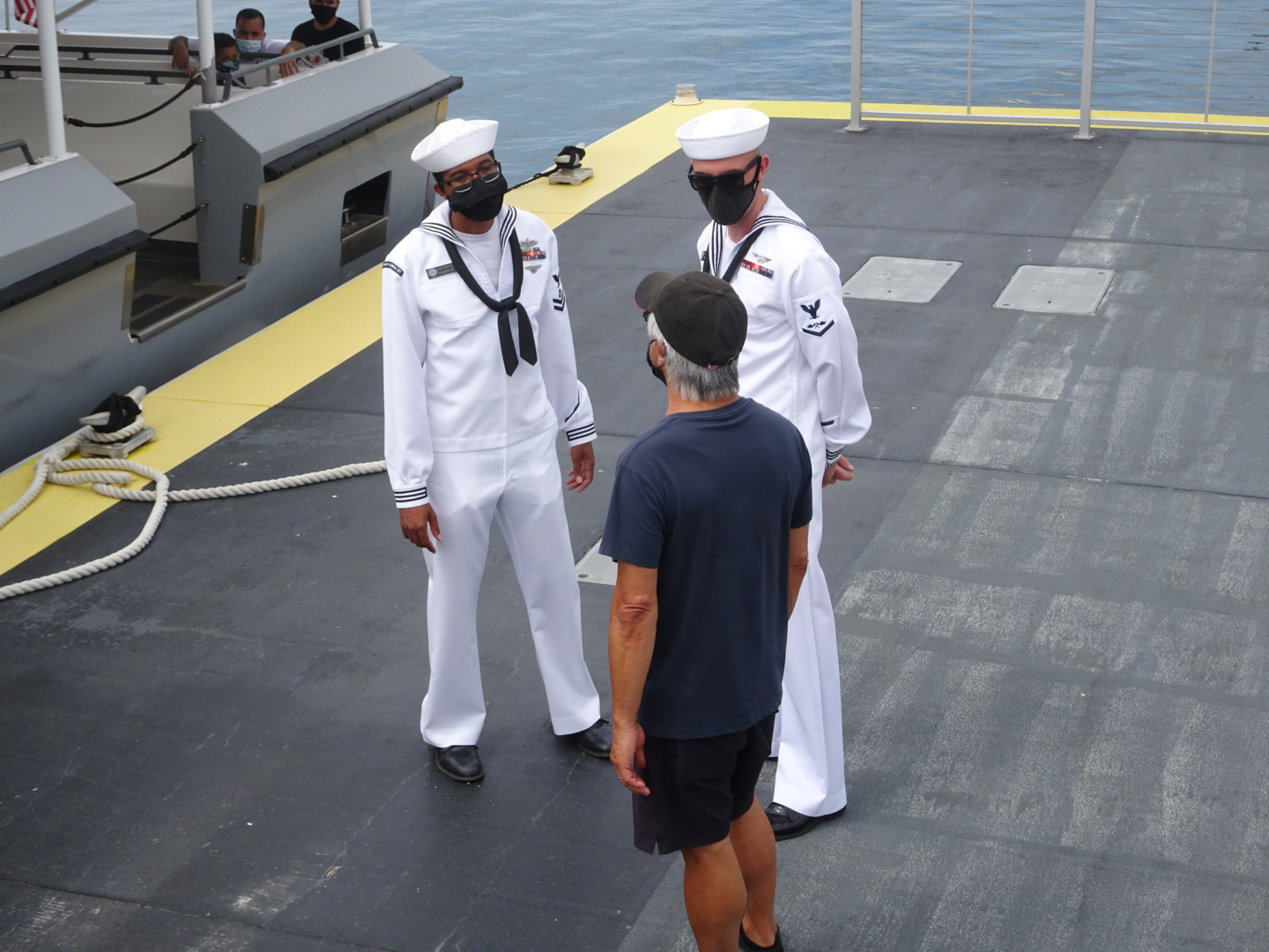
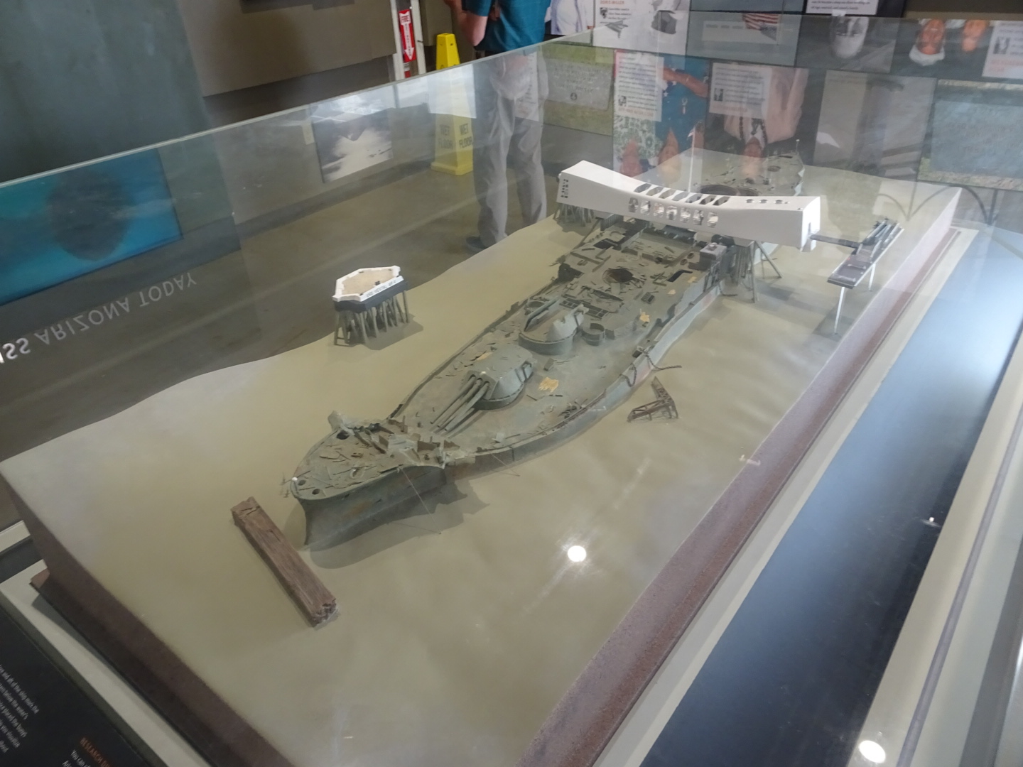
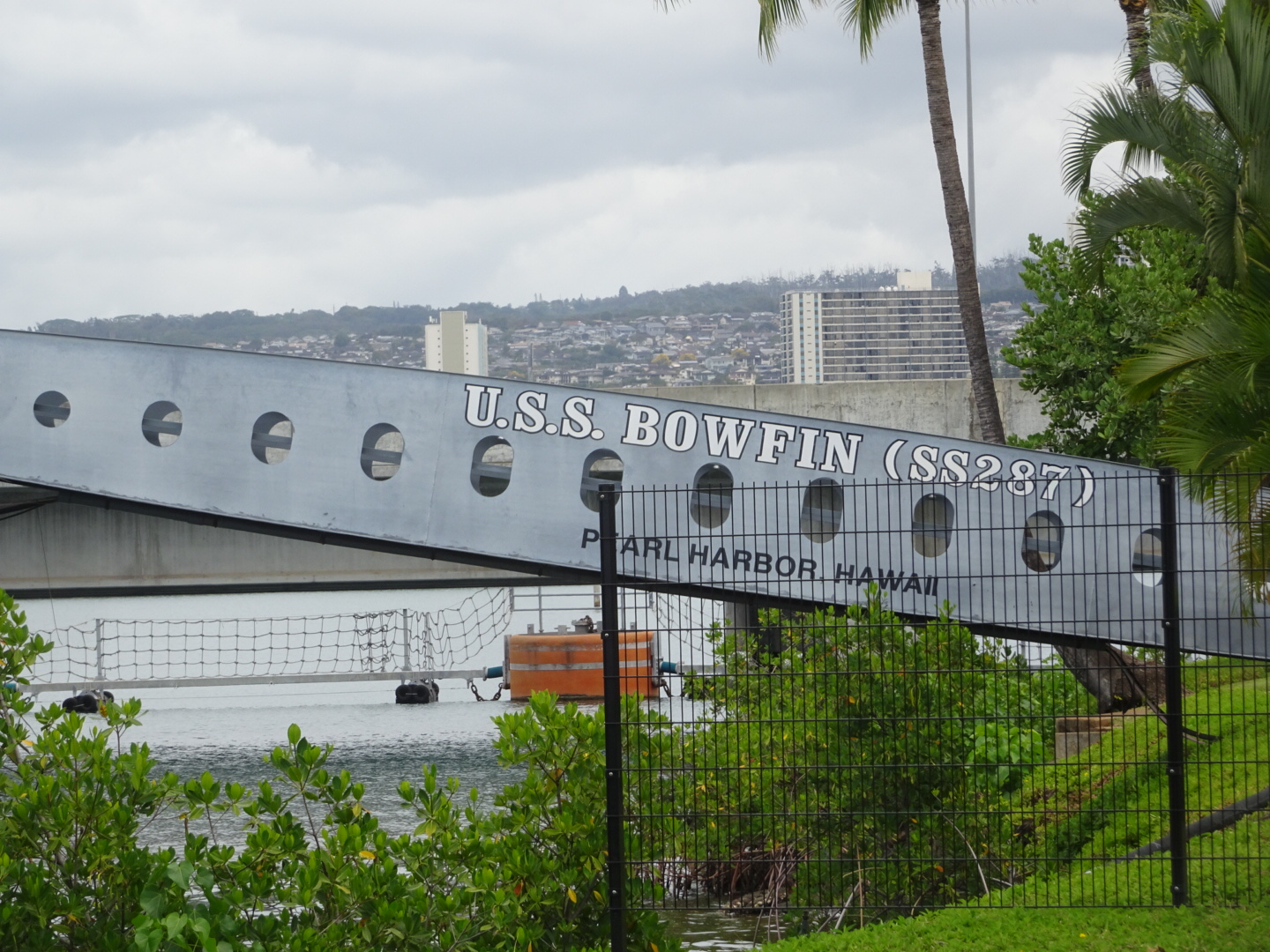
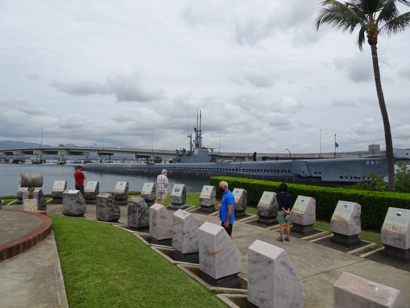
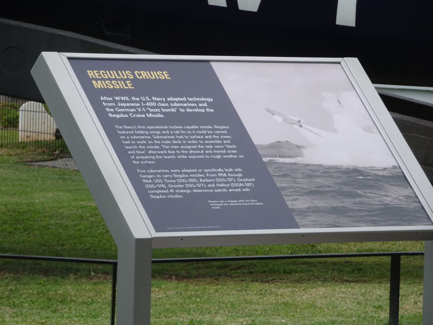
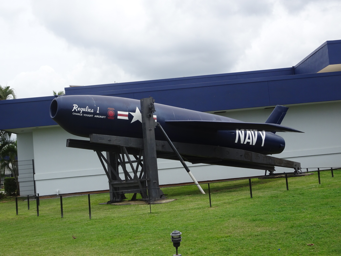
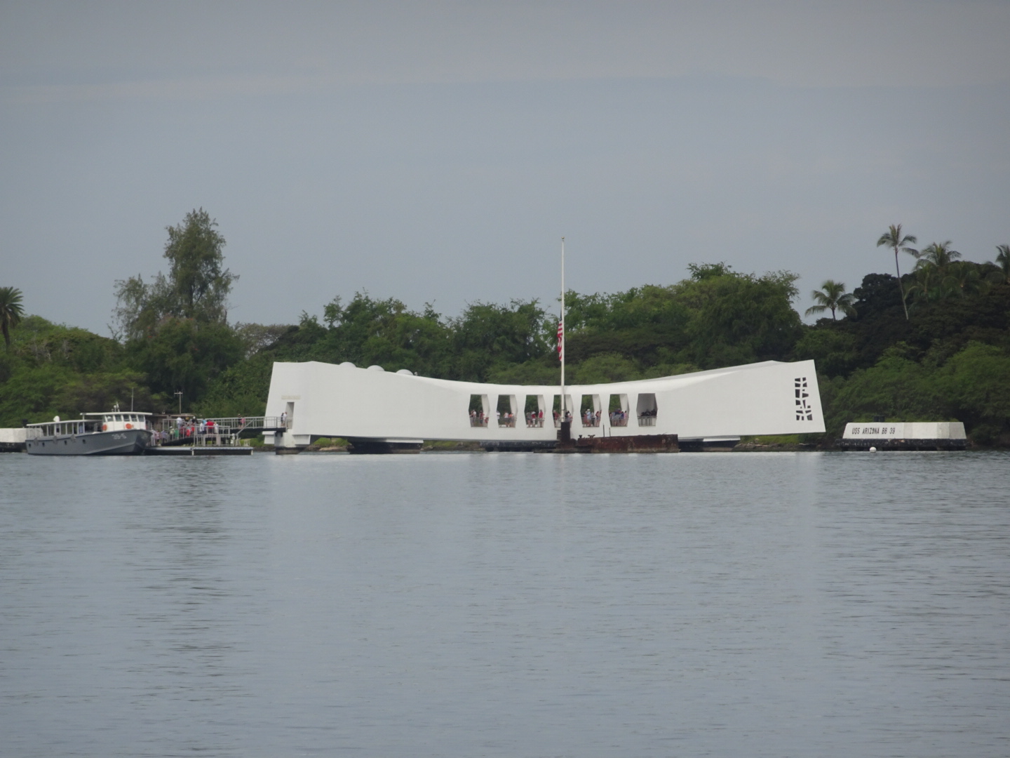
We started our sight seeing today with Pearl Harbor since weather was calm. ( last year we couldn’t enter the memorial because the waves were too choppy).
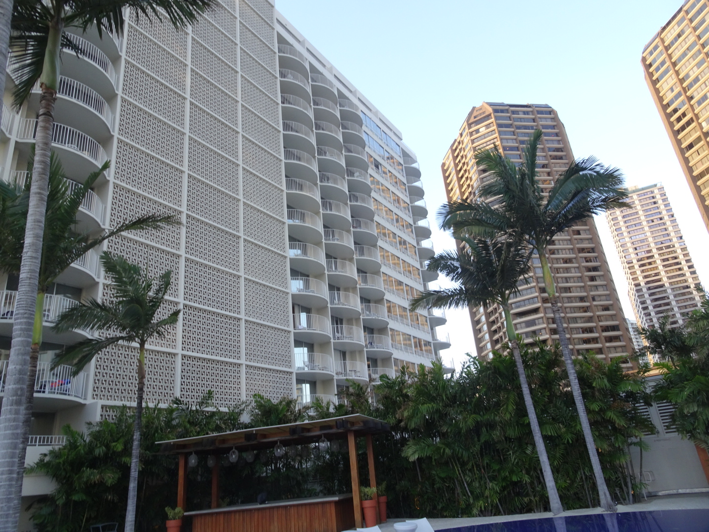
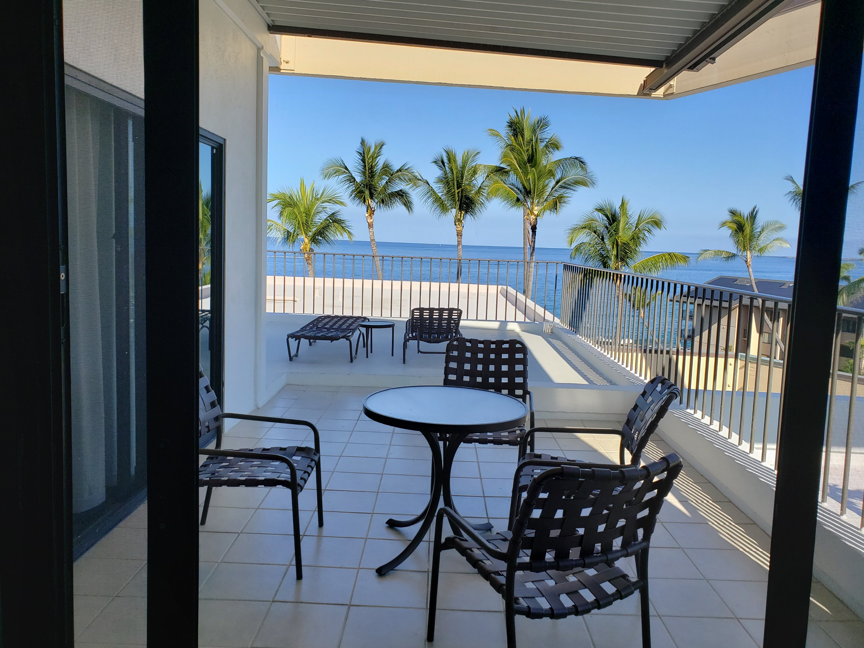
The Modern, a Diamond resort hotel.


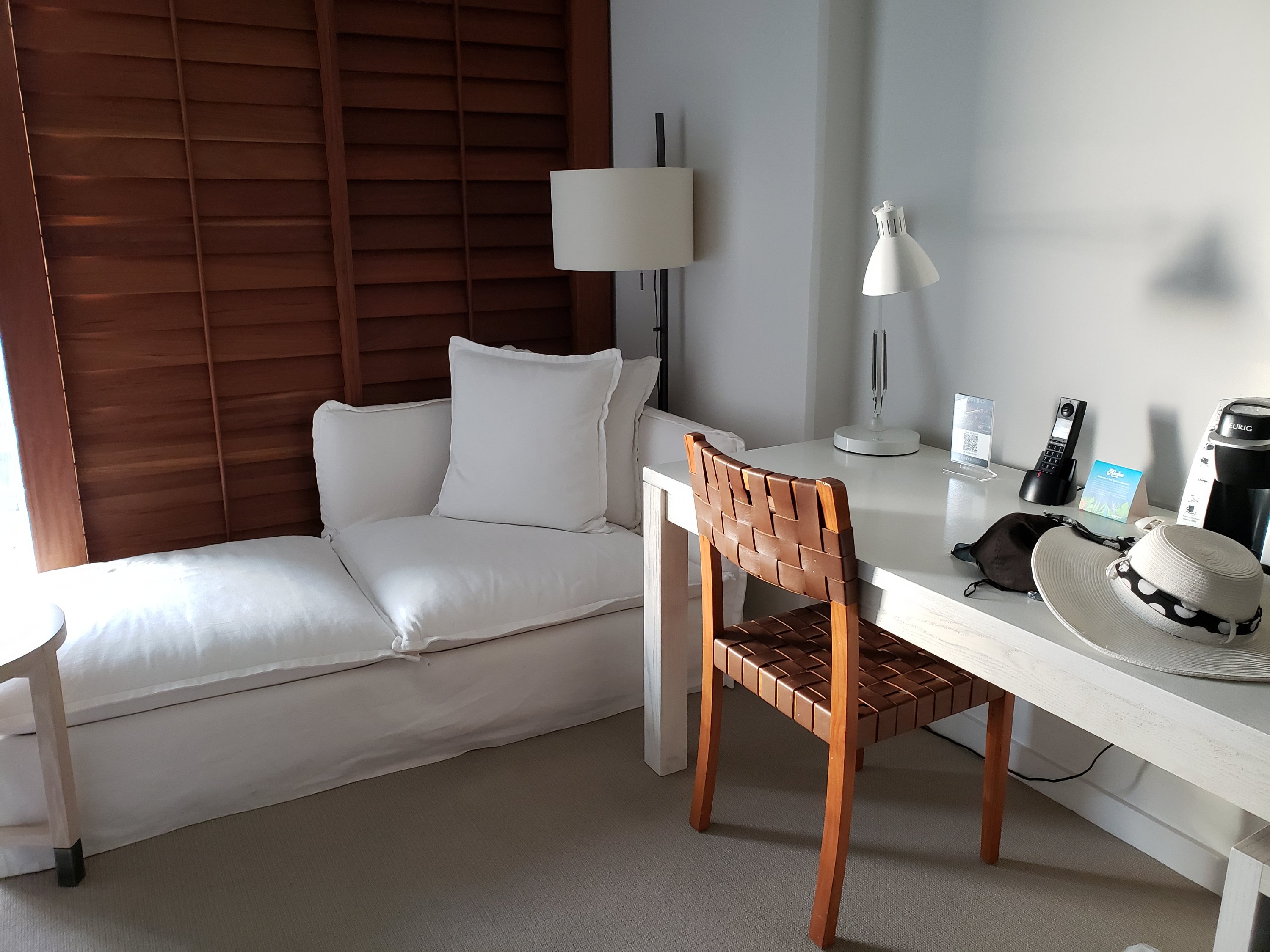

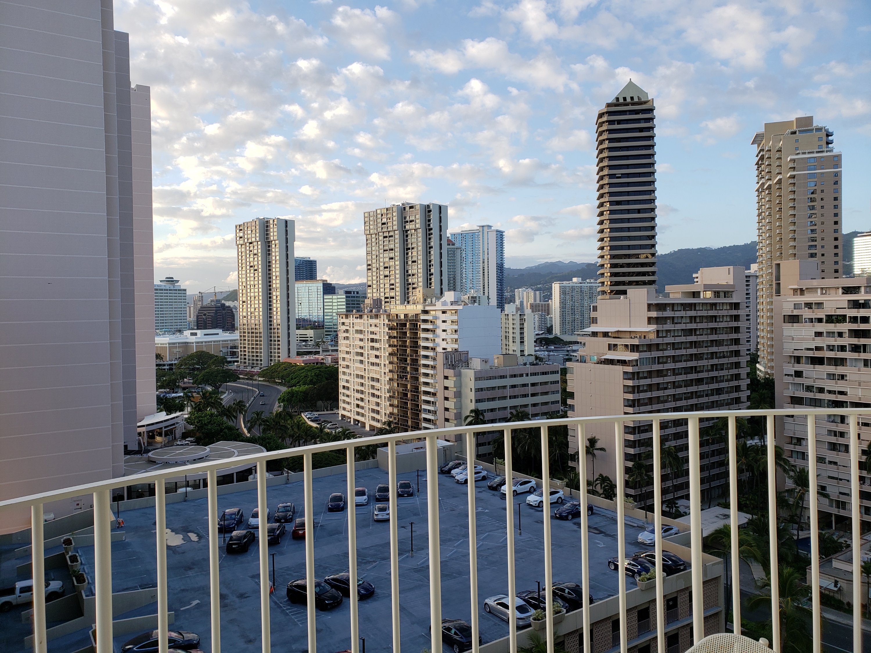

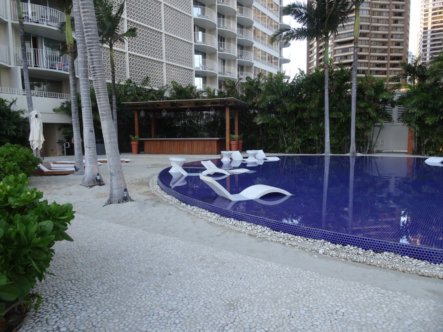
After a little exploring around our resort we found the pool! And restaurants


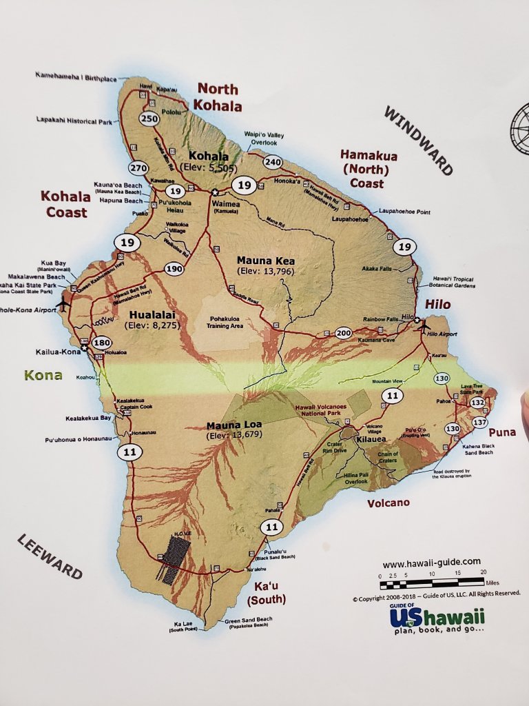
I just realized, we have talked a lot about the areas of the Big Island. This map may help you get the big picture. Excuse the strip across, just a printer error. But it does highlight where Kona is, right on the left end of it. The volcano right behind our resort is Hualalai It’s a 2.5 hr drive down to Volcanos National Park or over to Hilo
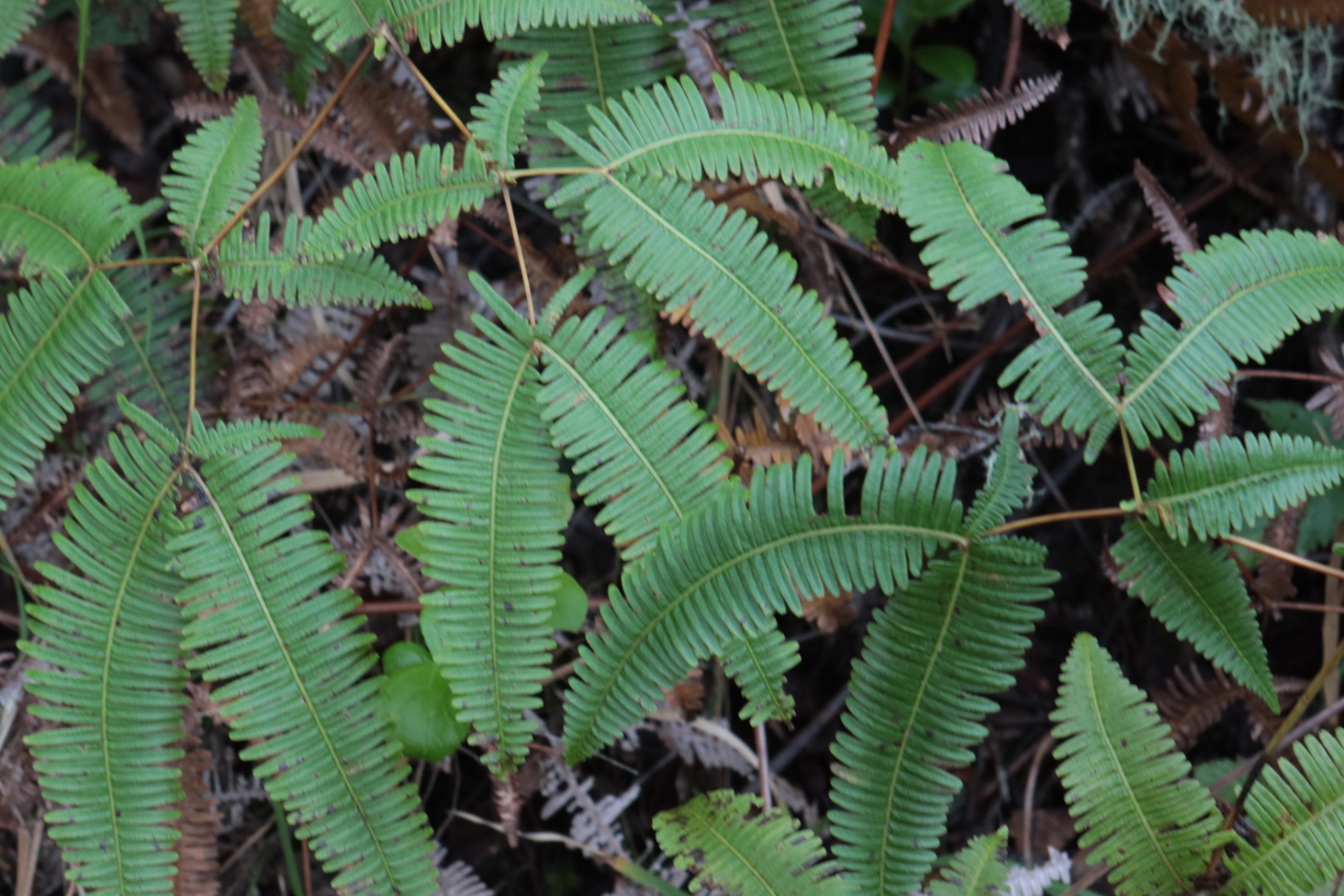
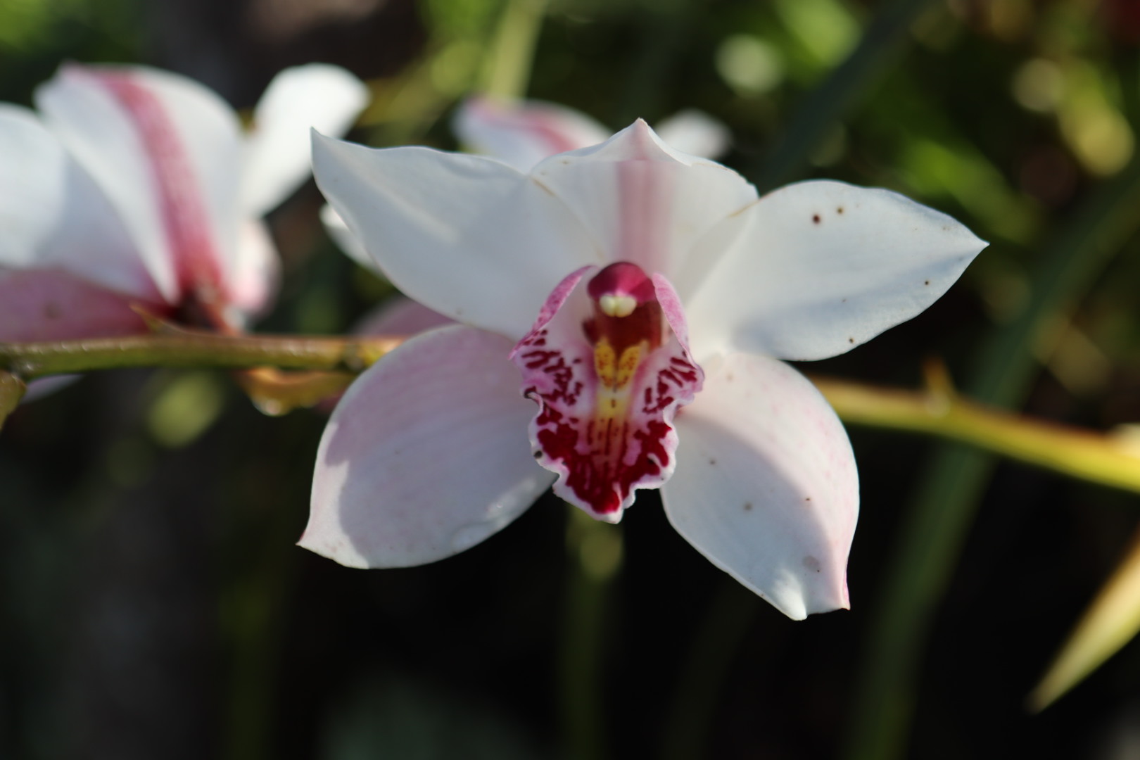
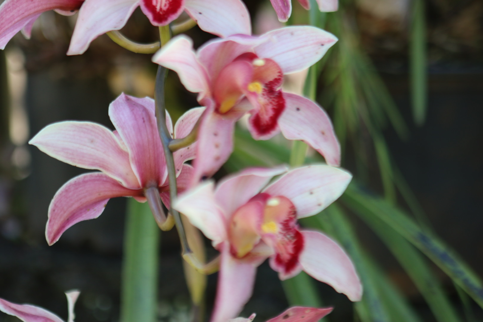
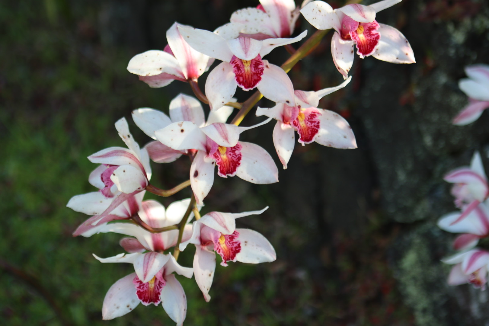
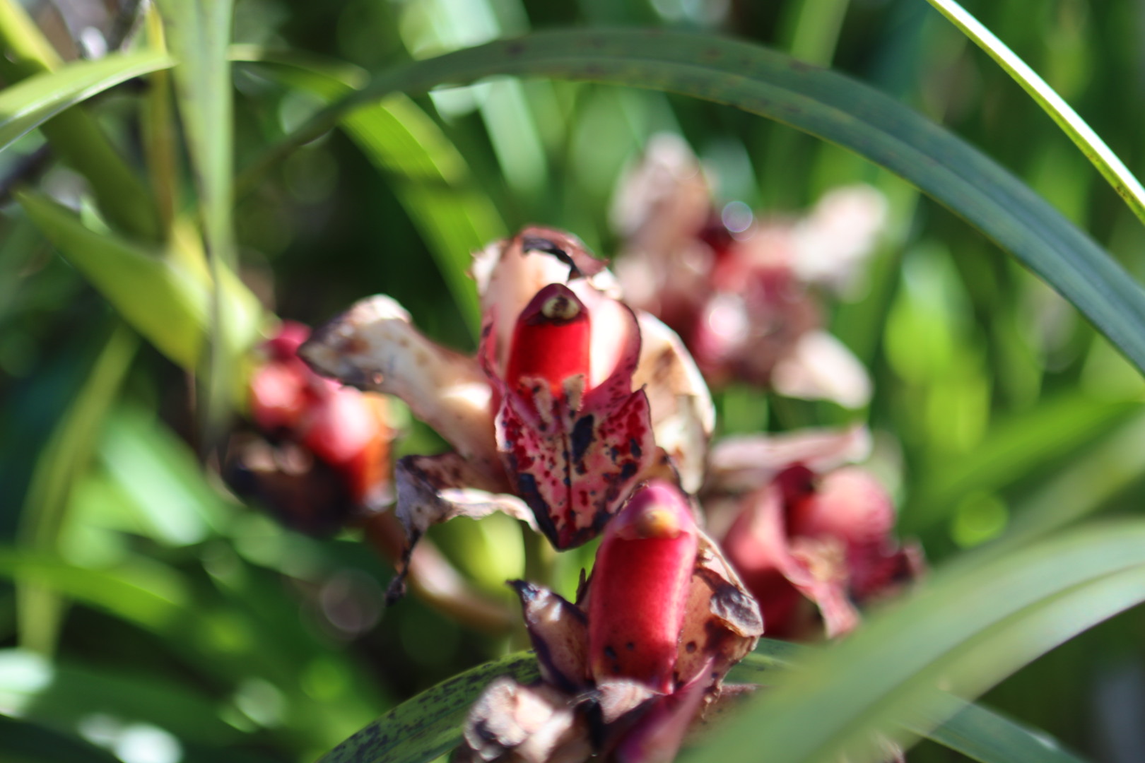
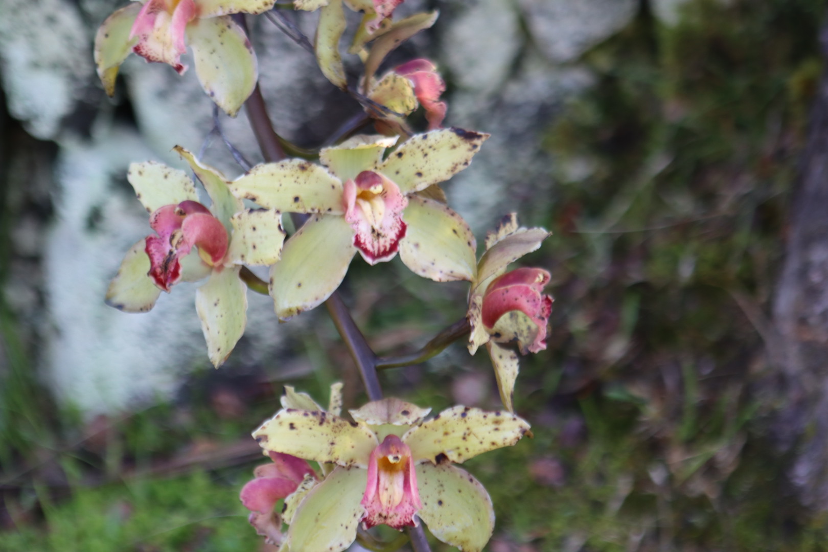
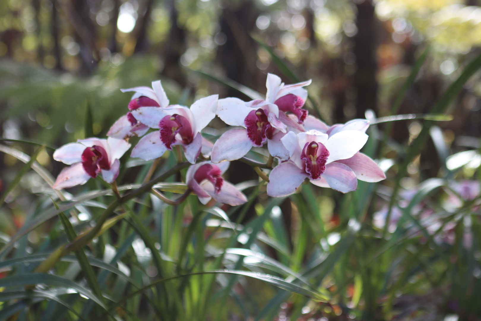
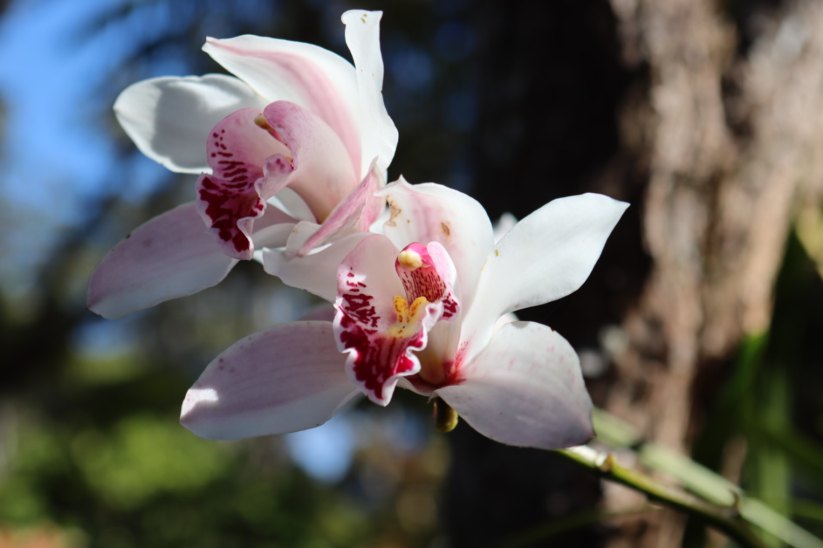
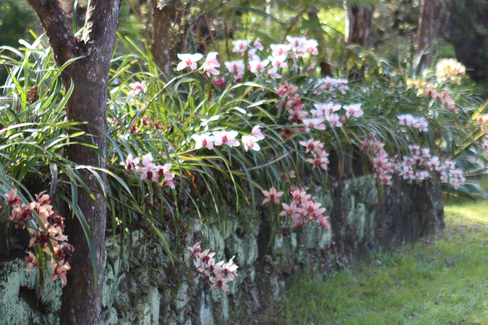
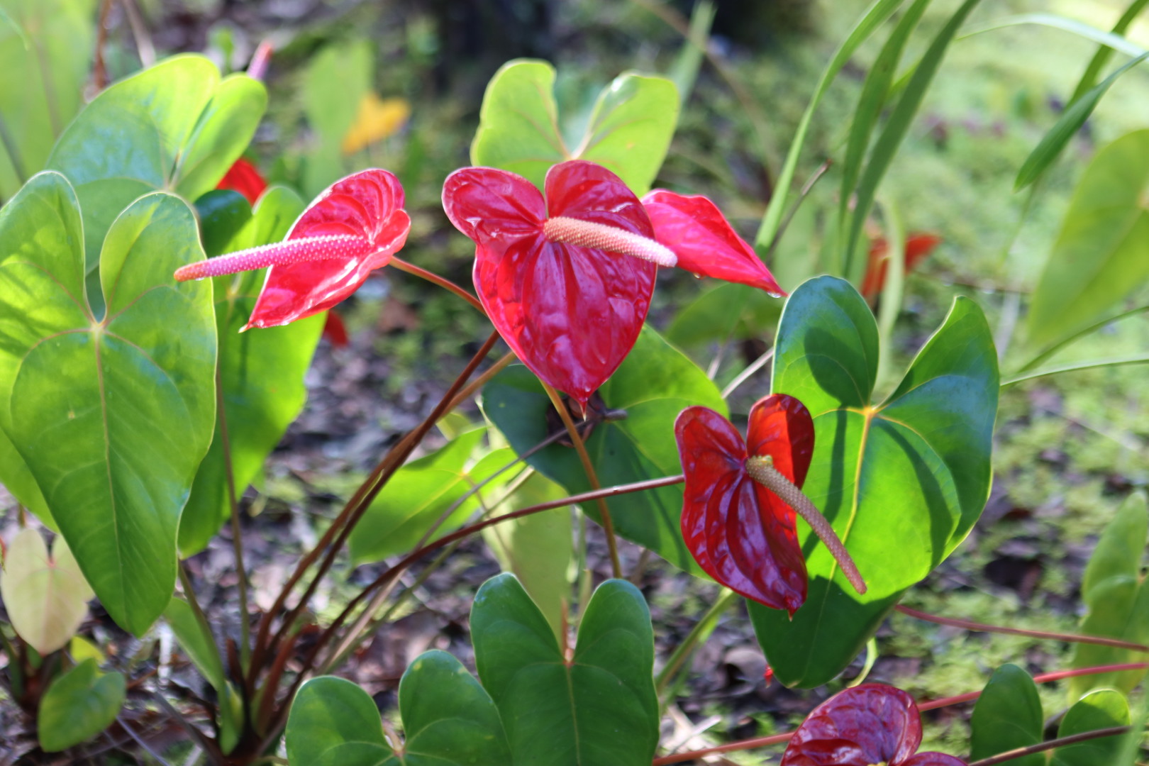
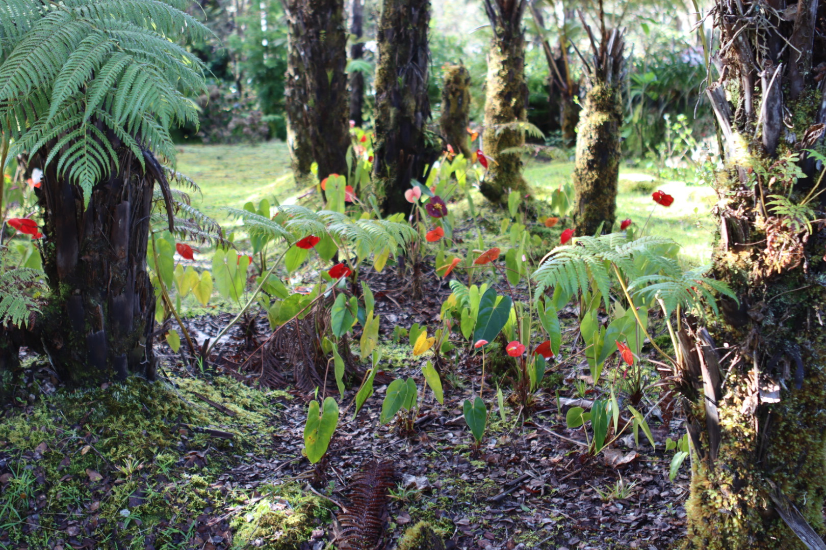
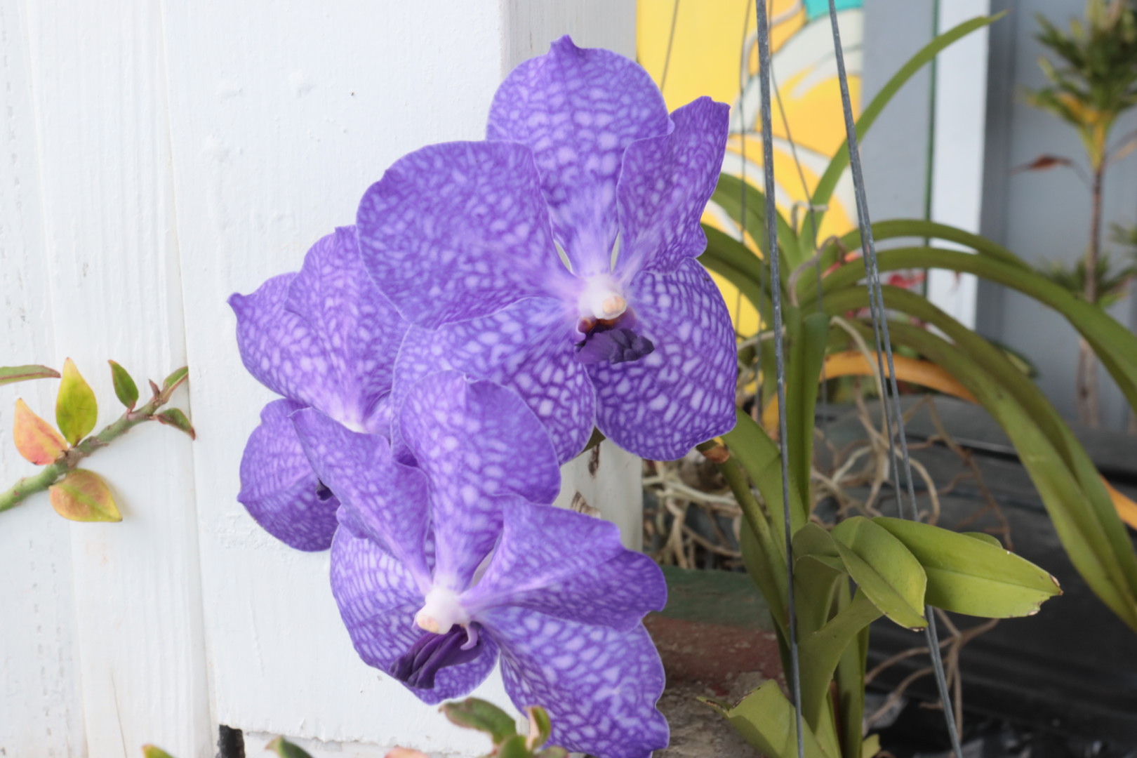
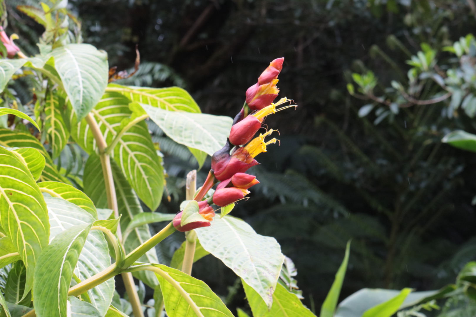
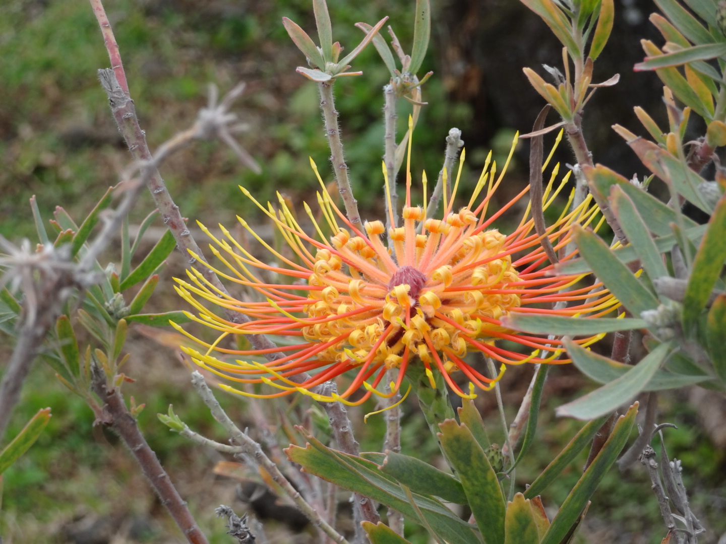
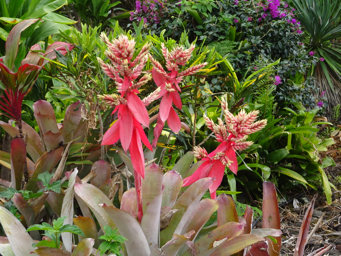
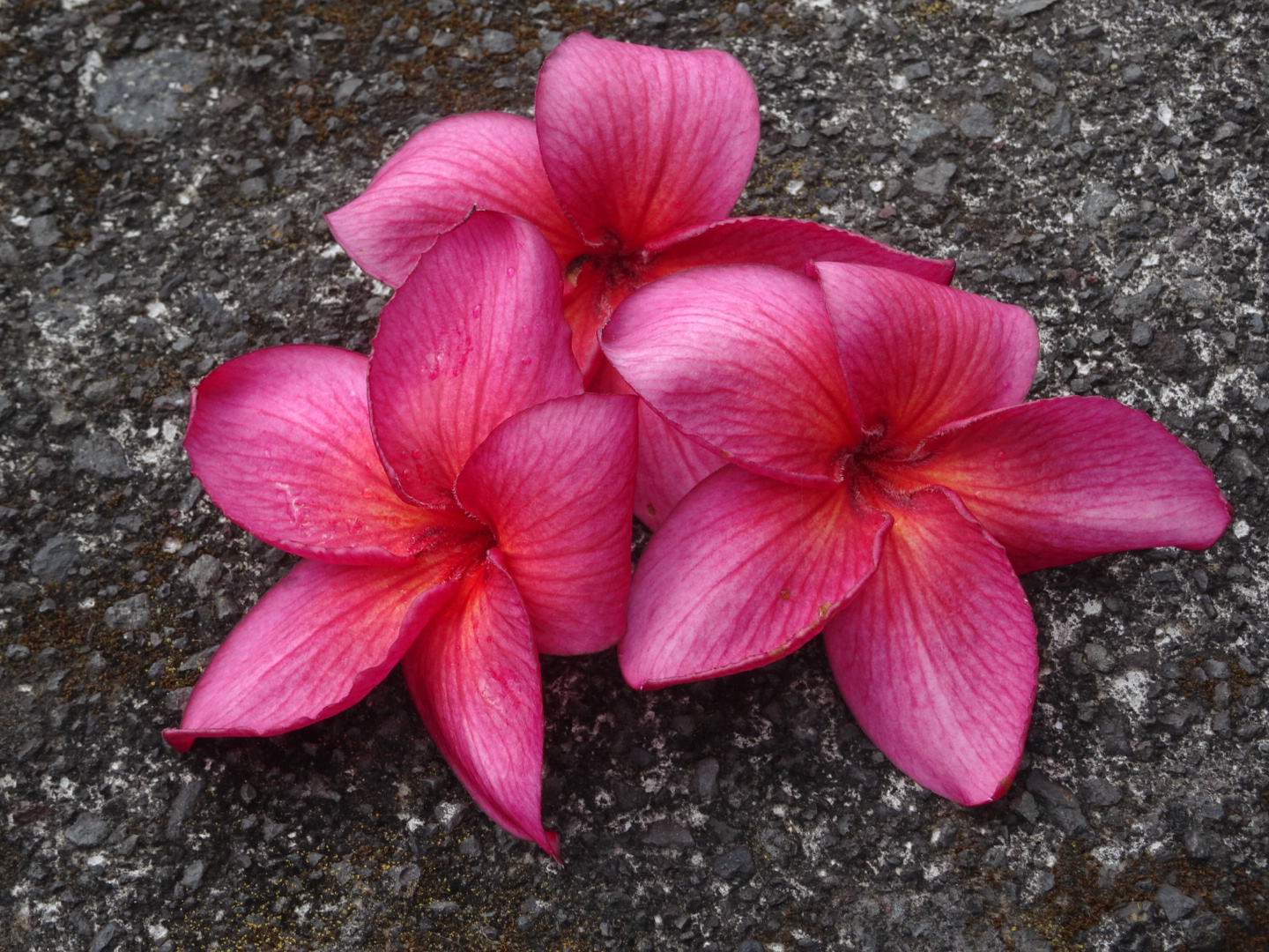
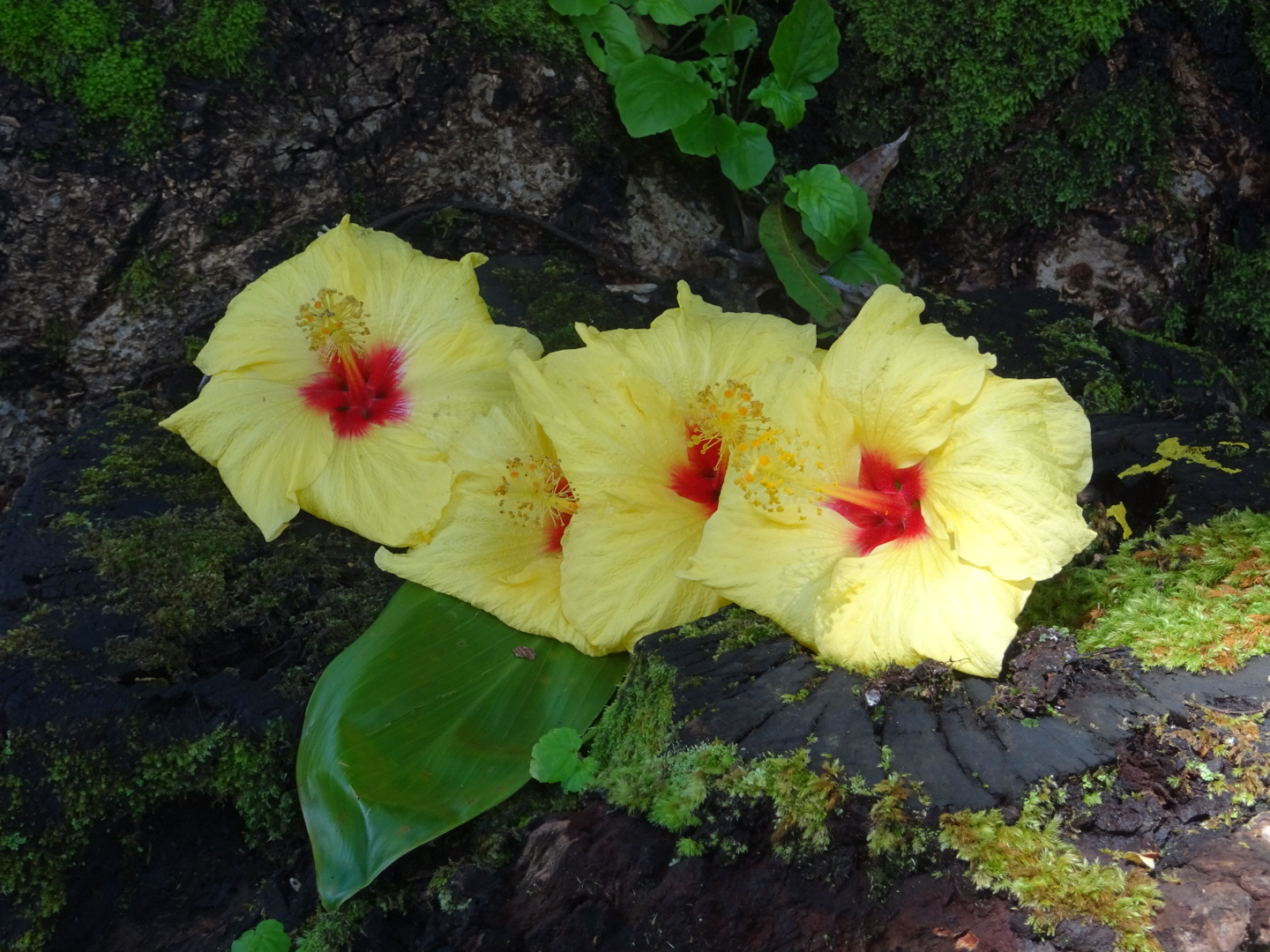
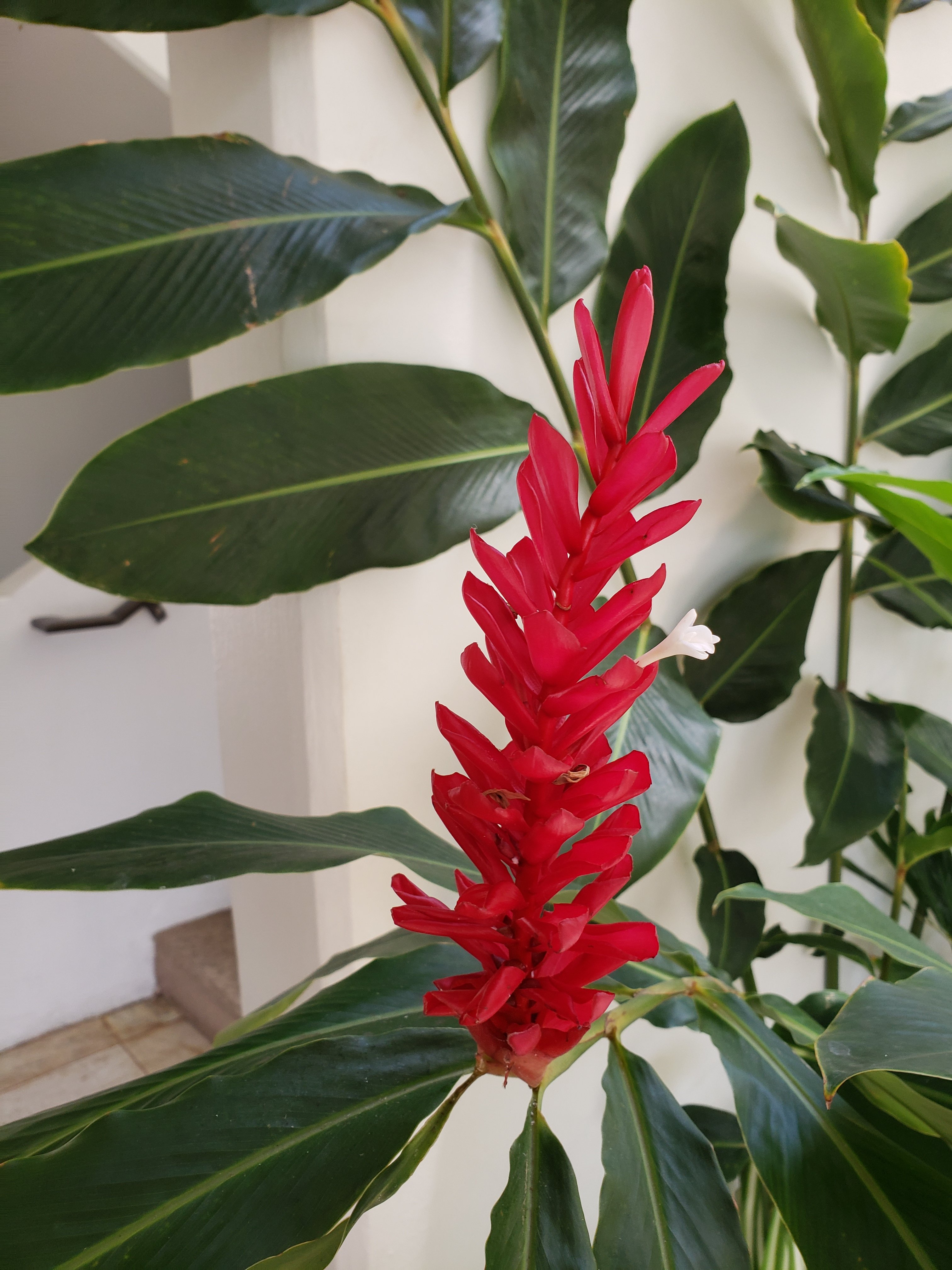
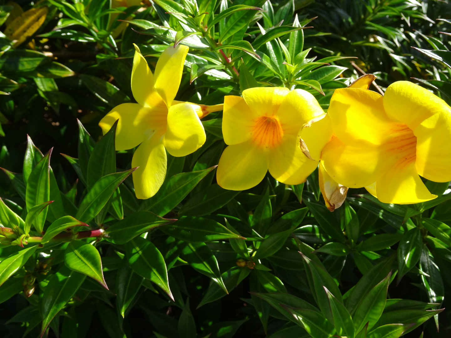
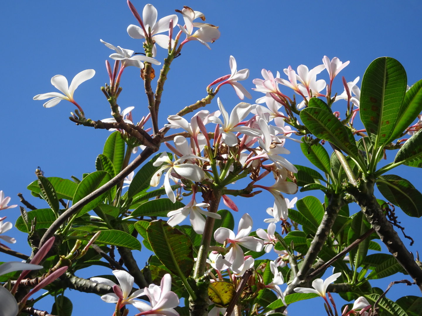
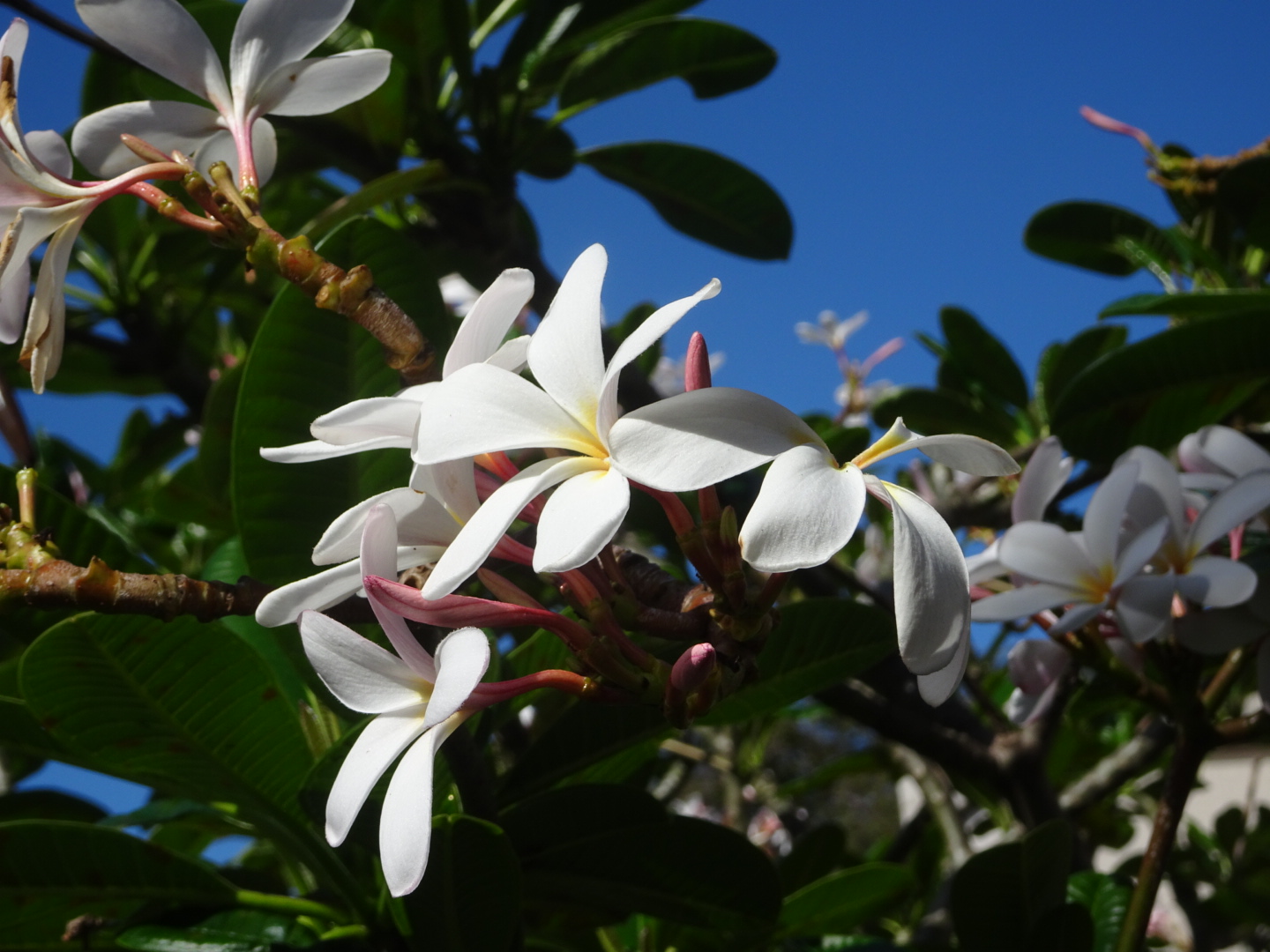
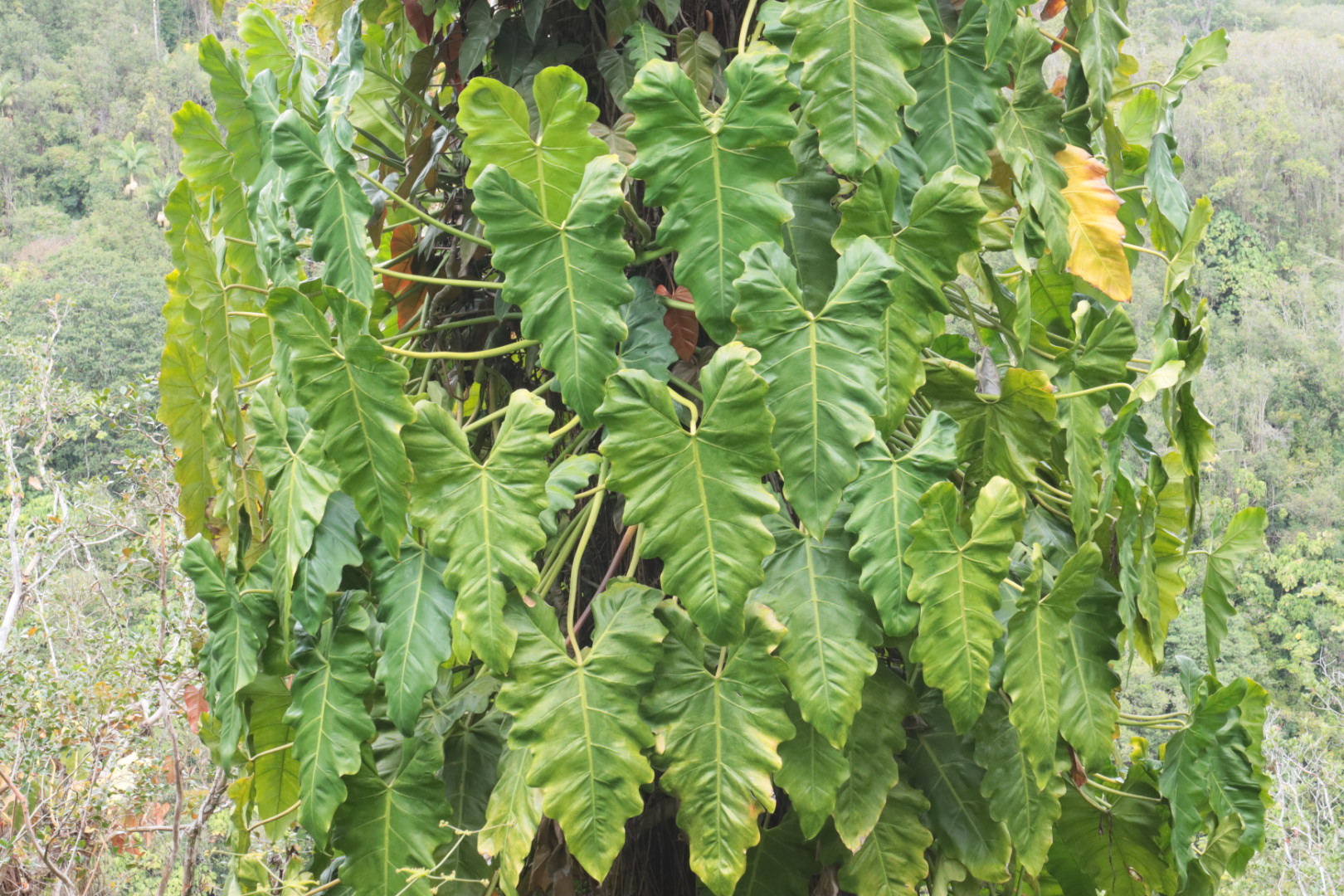
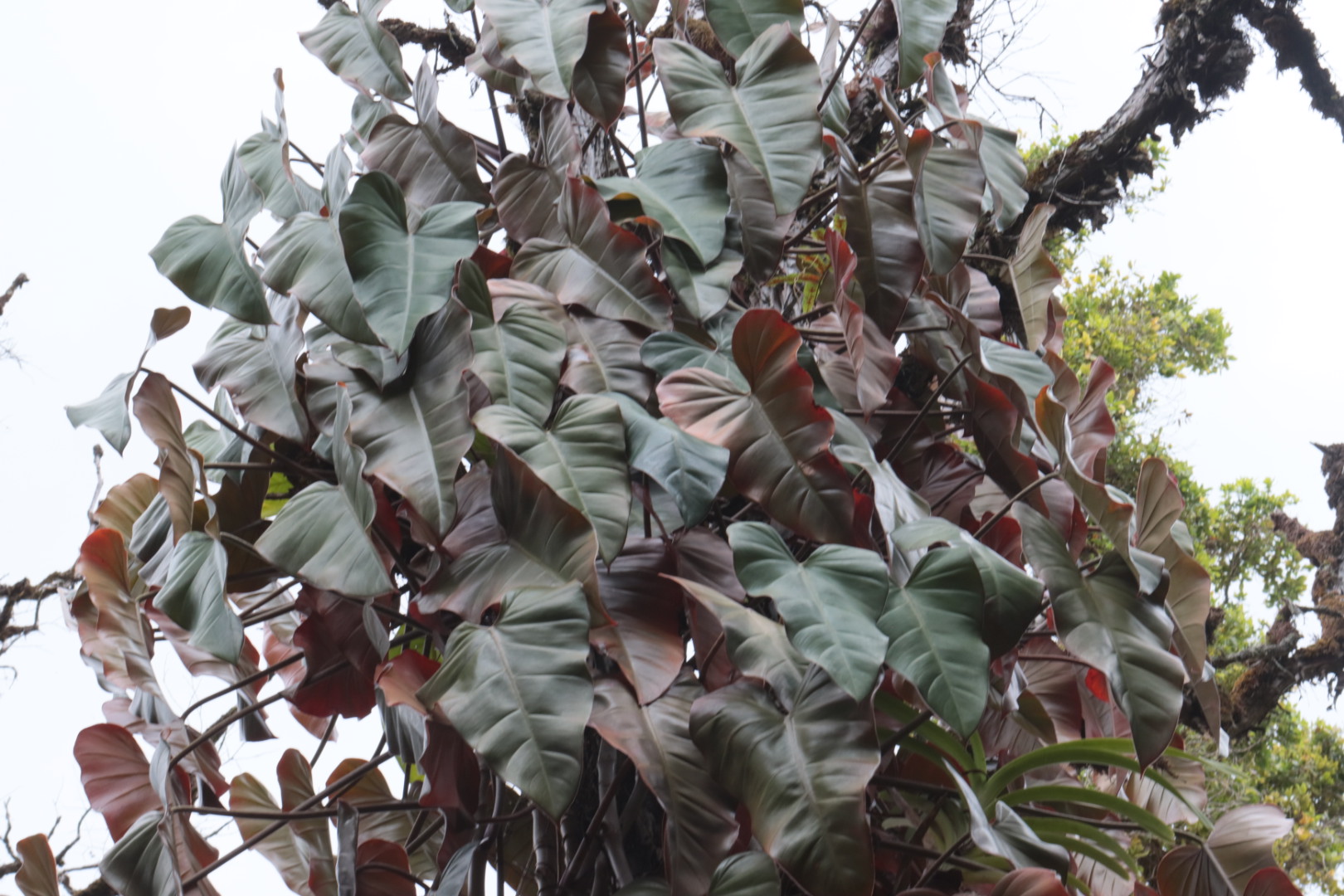
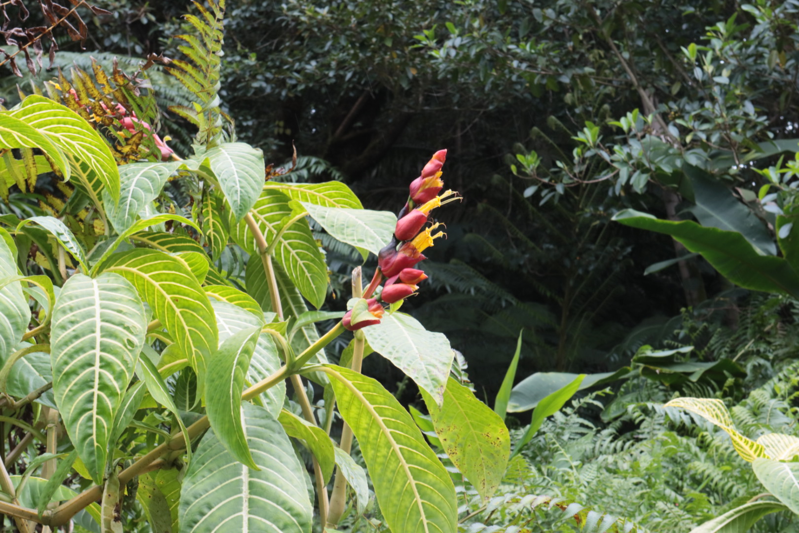
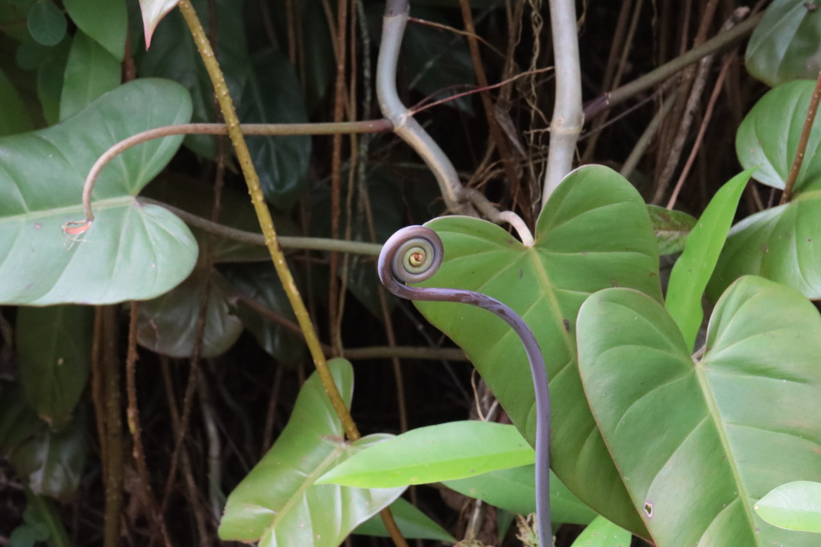
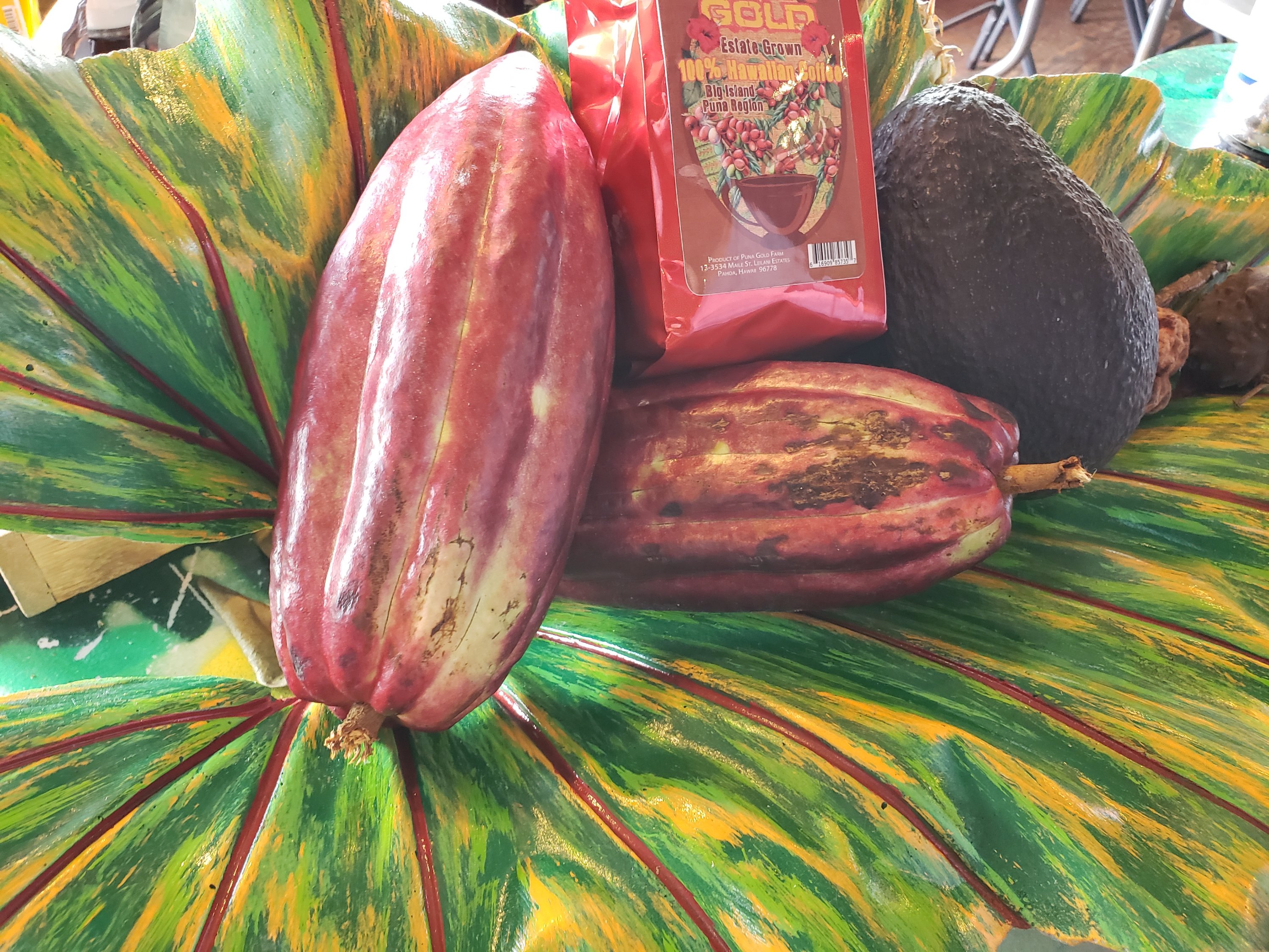
The area around Volcano is excellent for orchids, Hamakua coast have ouch botanical gardens too. Even the dry side, leeward, around Kona, has Beautiful Flowers
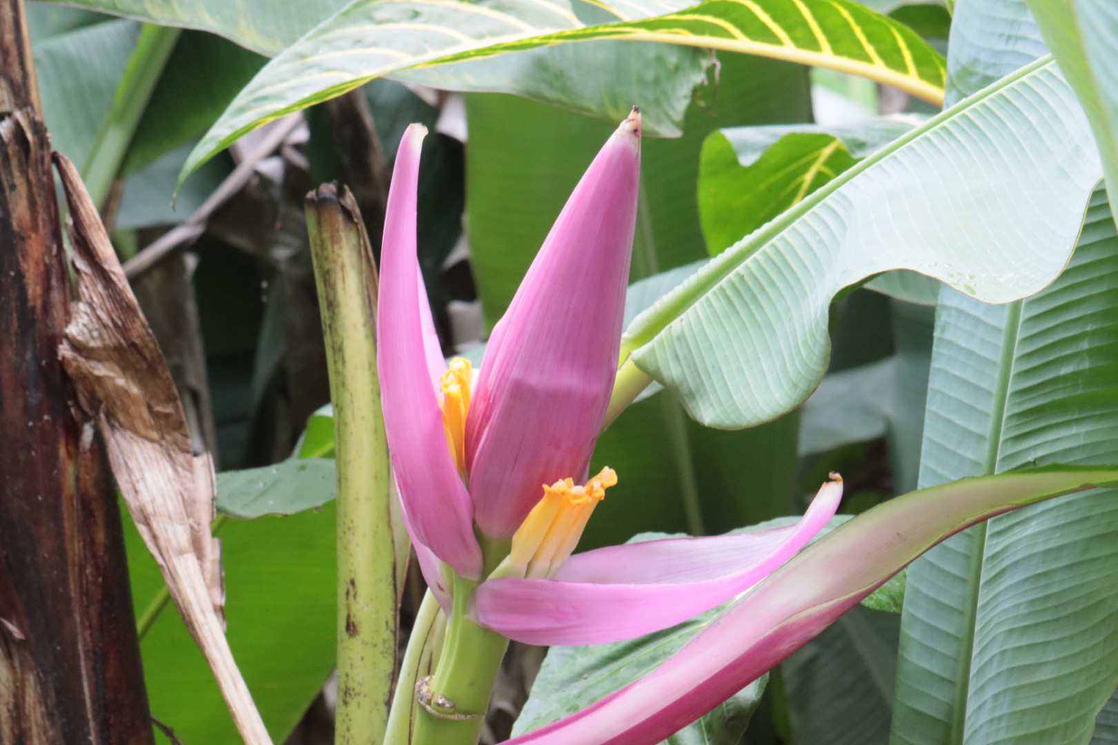
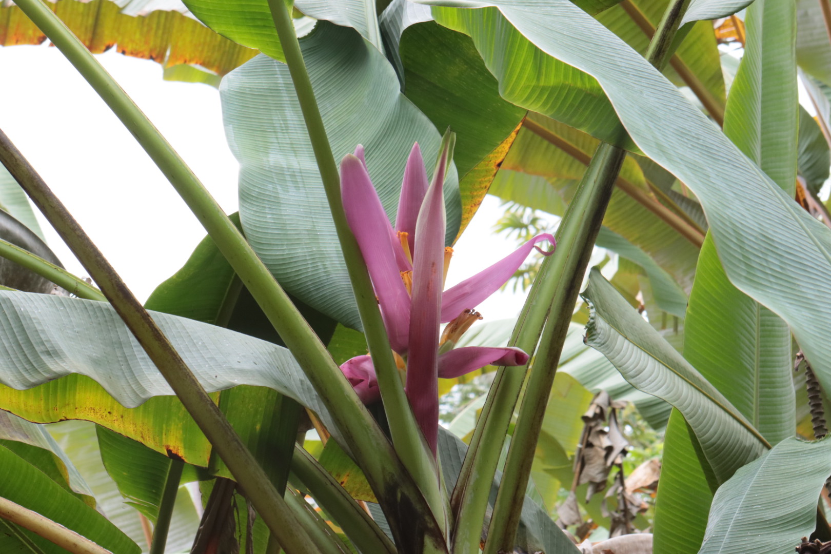


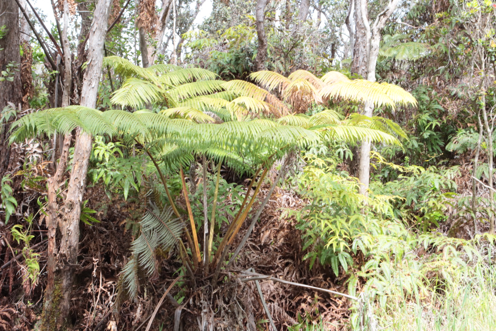
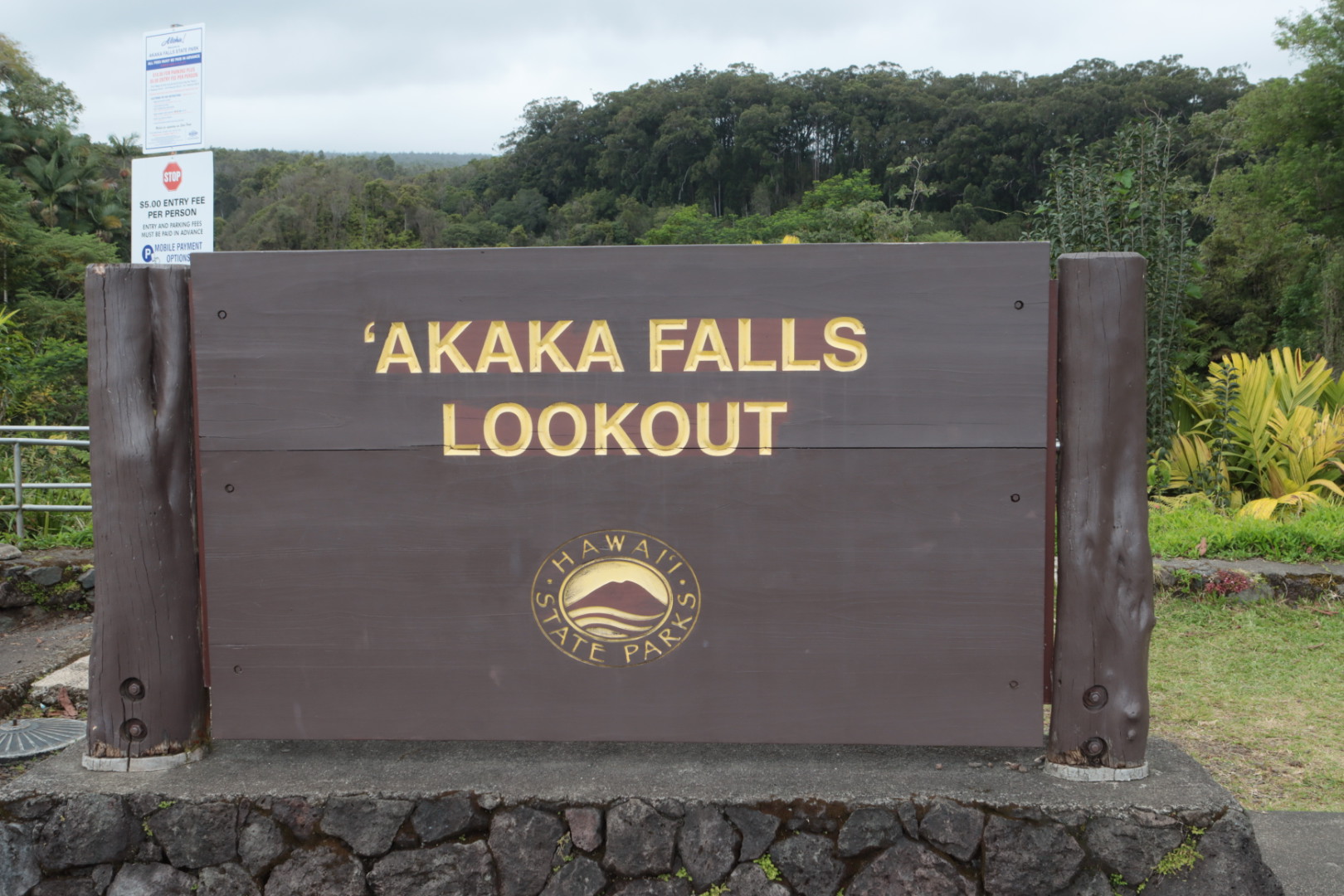
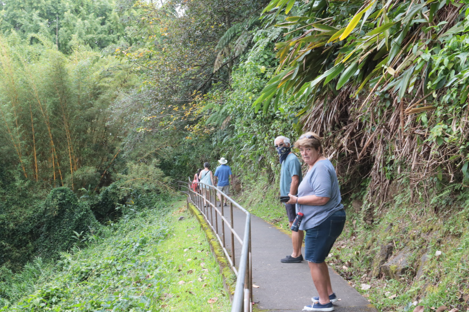
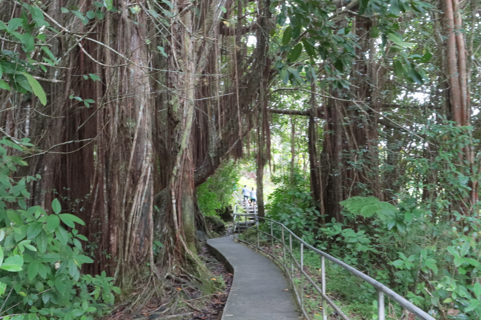
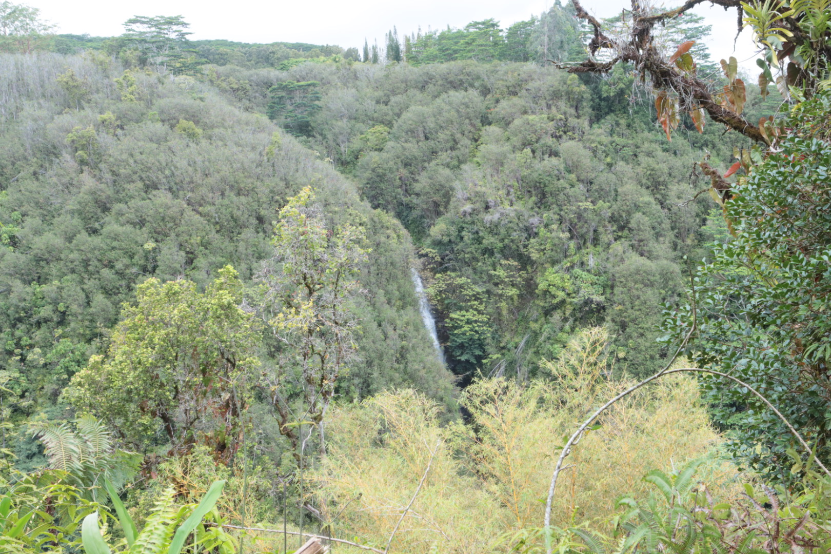
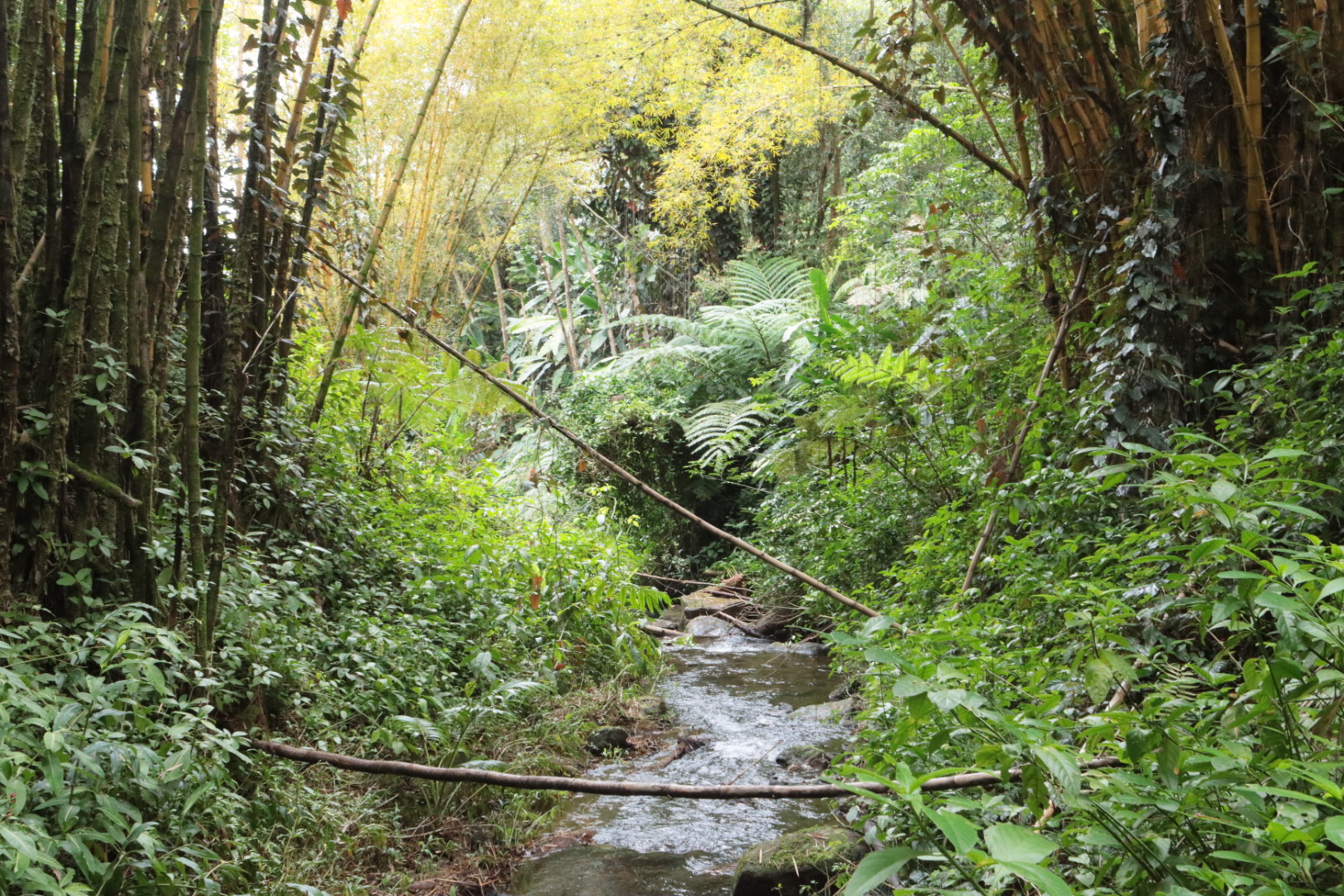
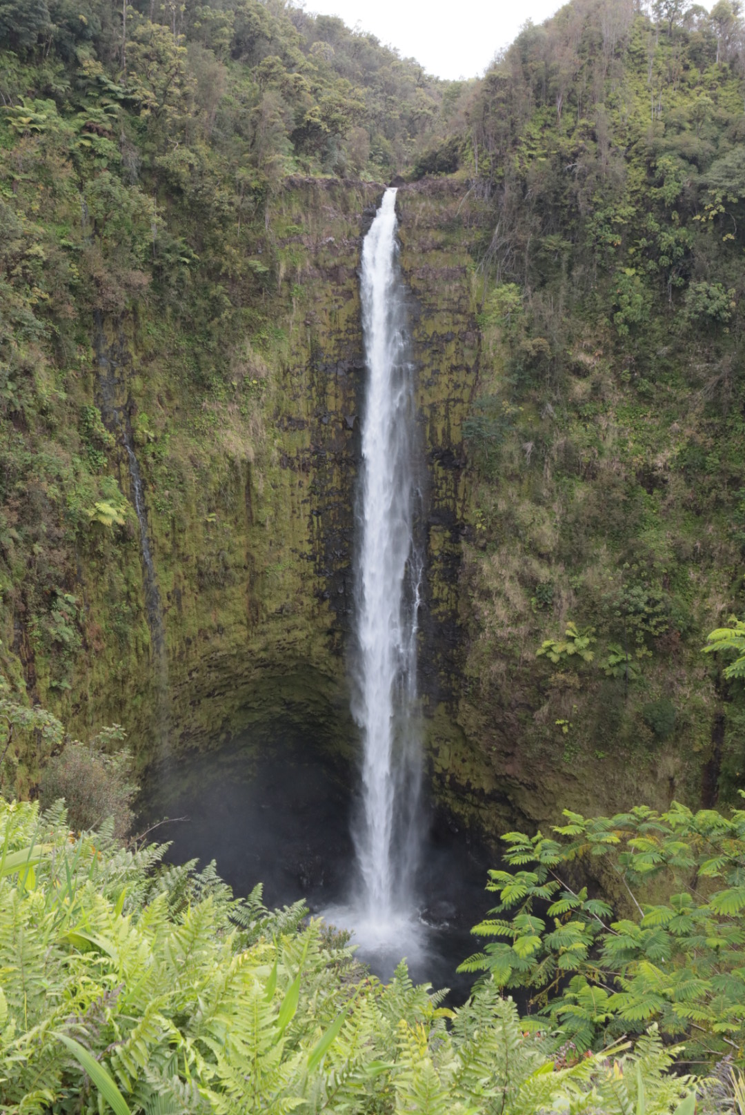
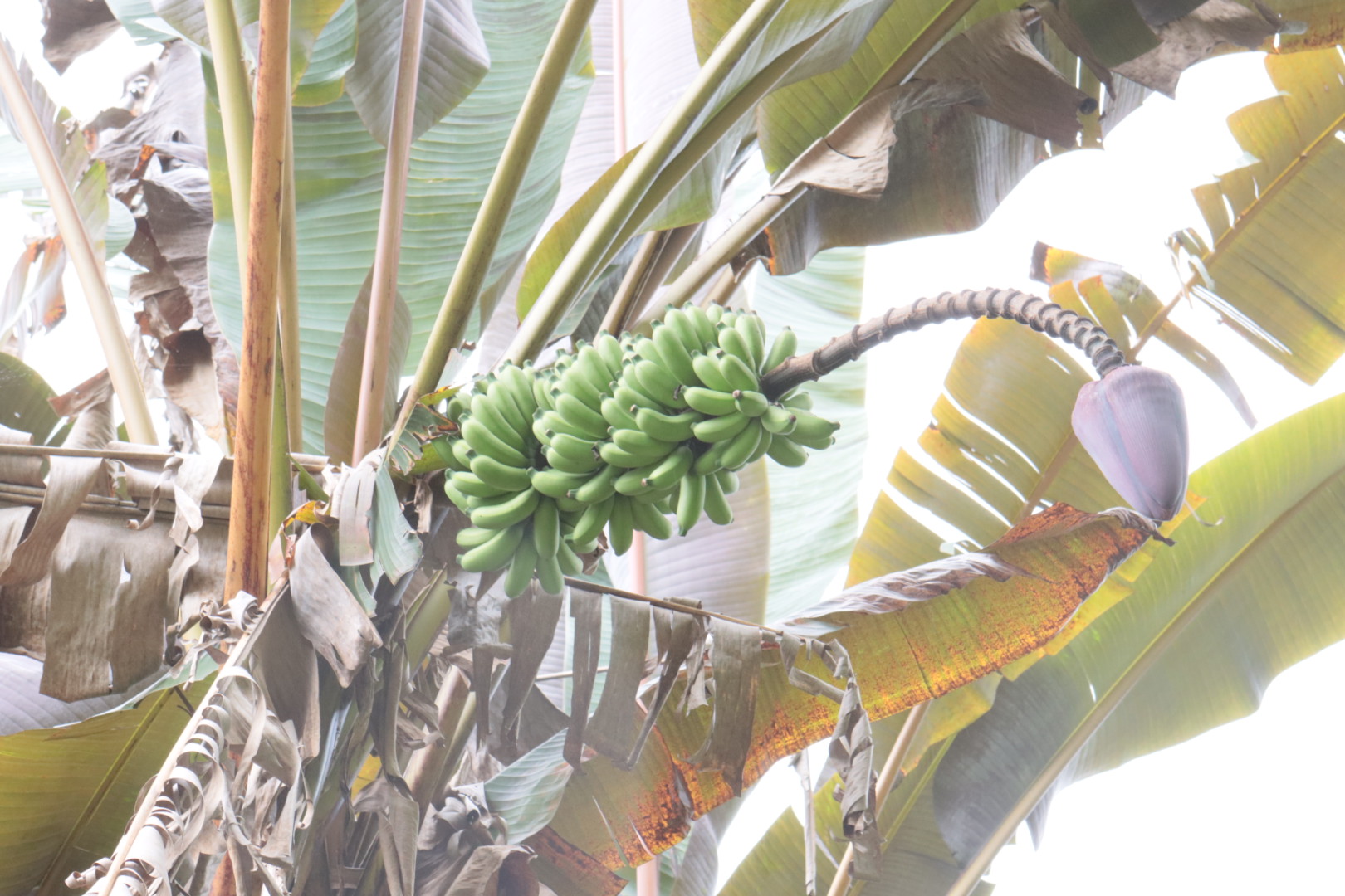
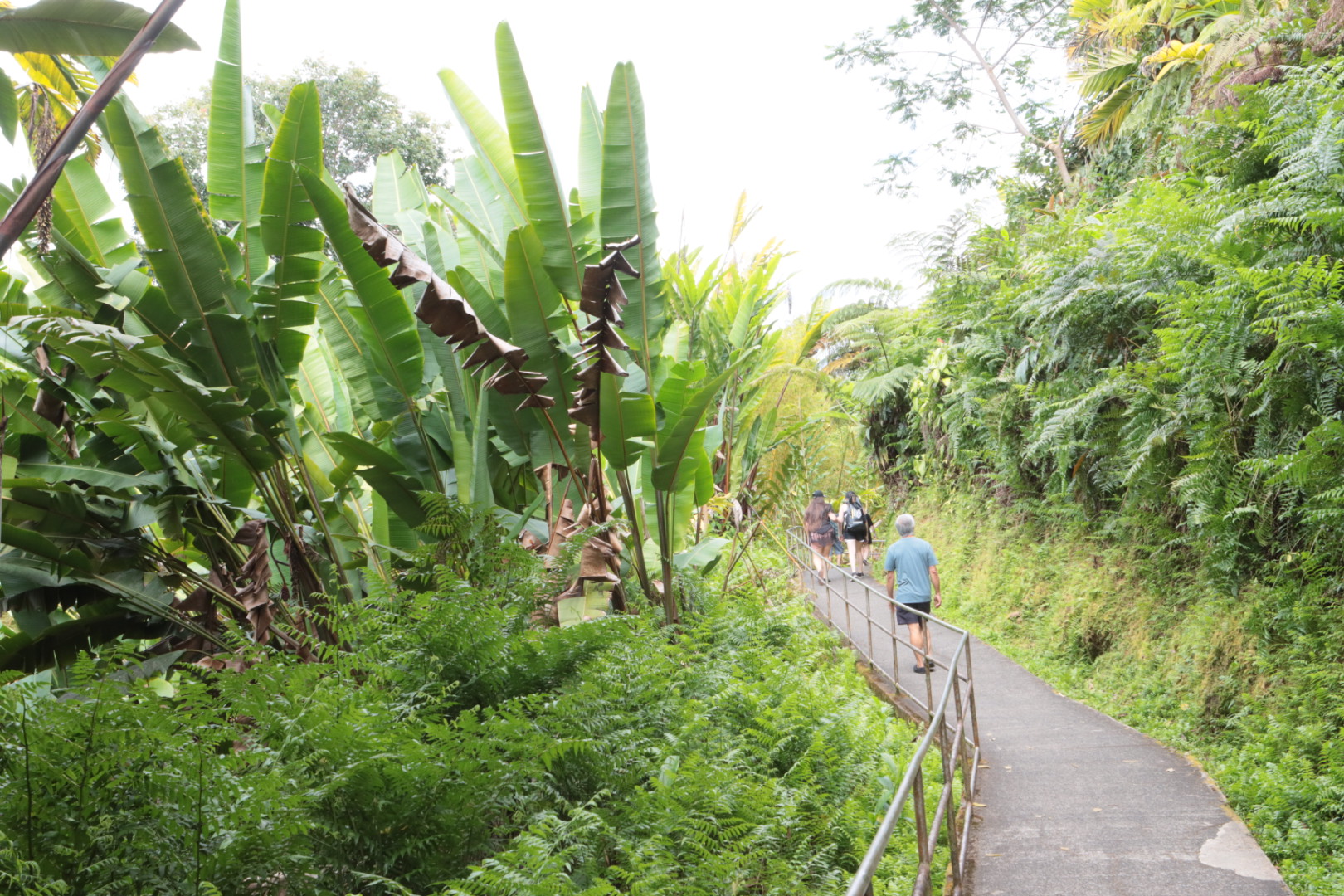
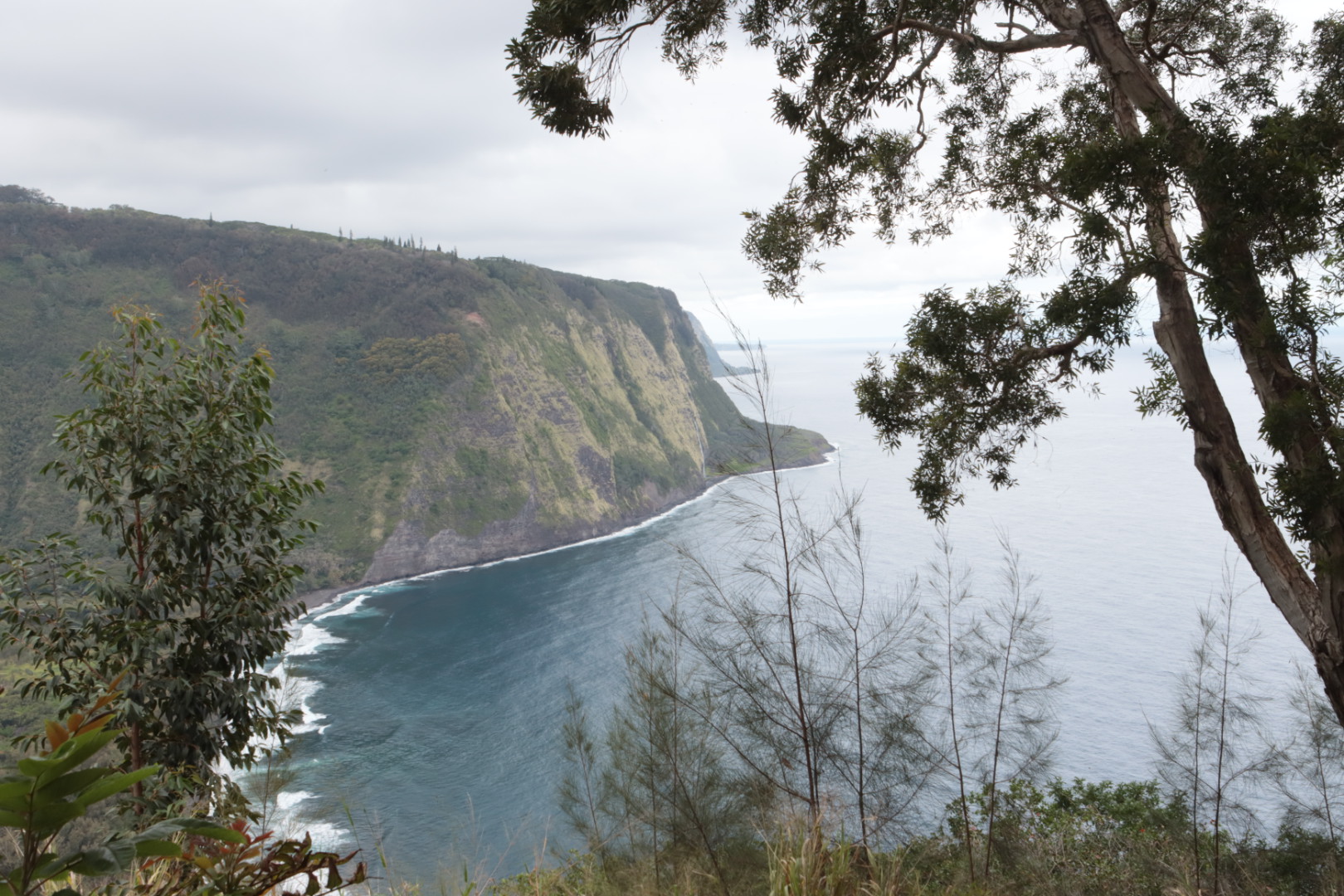
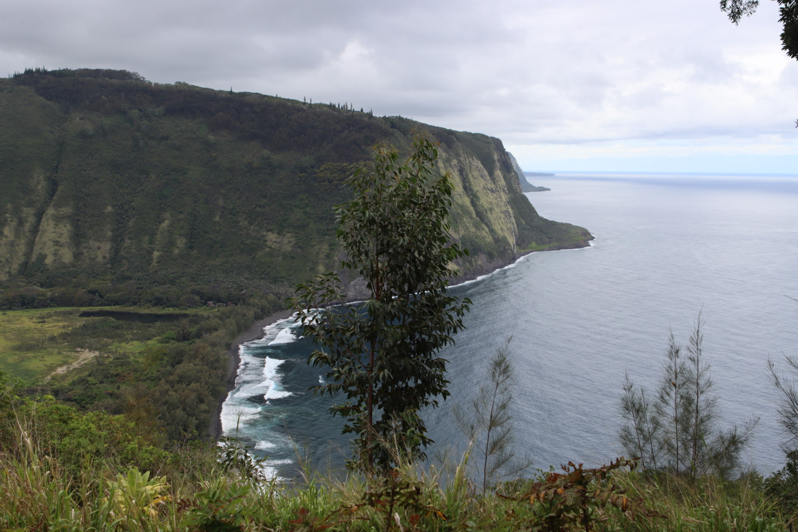
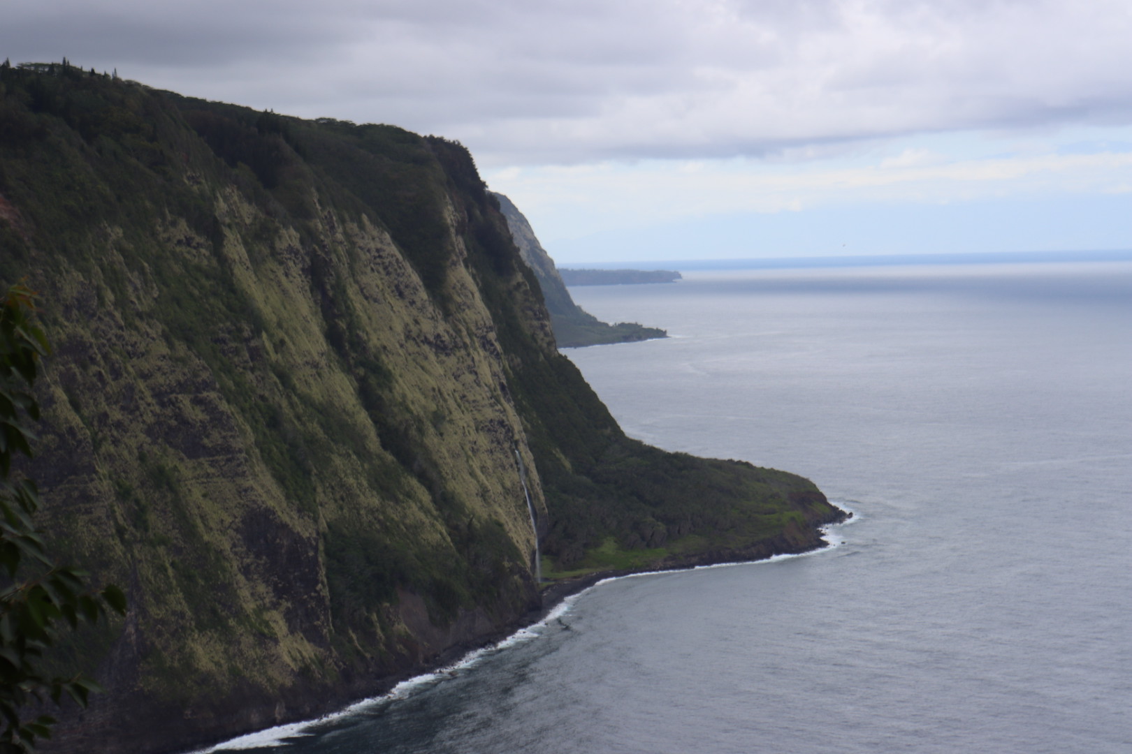
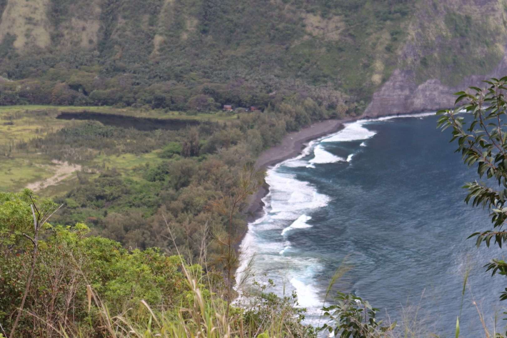
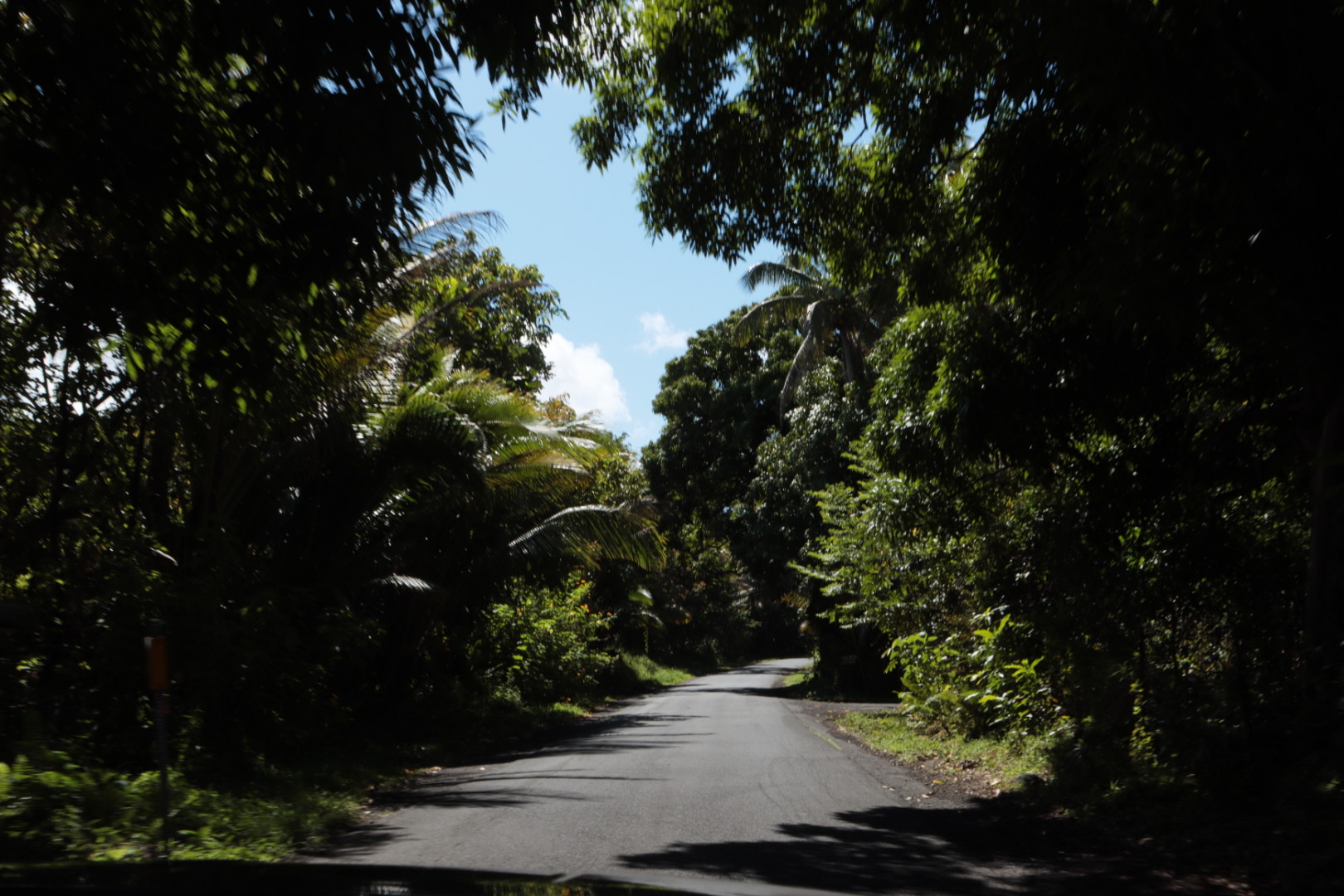
After the devastation of the volcano we drove up the lush eastern share, the Hamakua coast to see the waterfalls and foliage


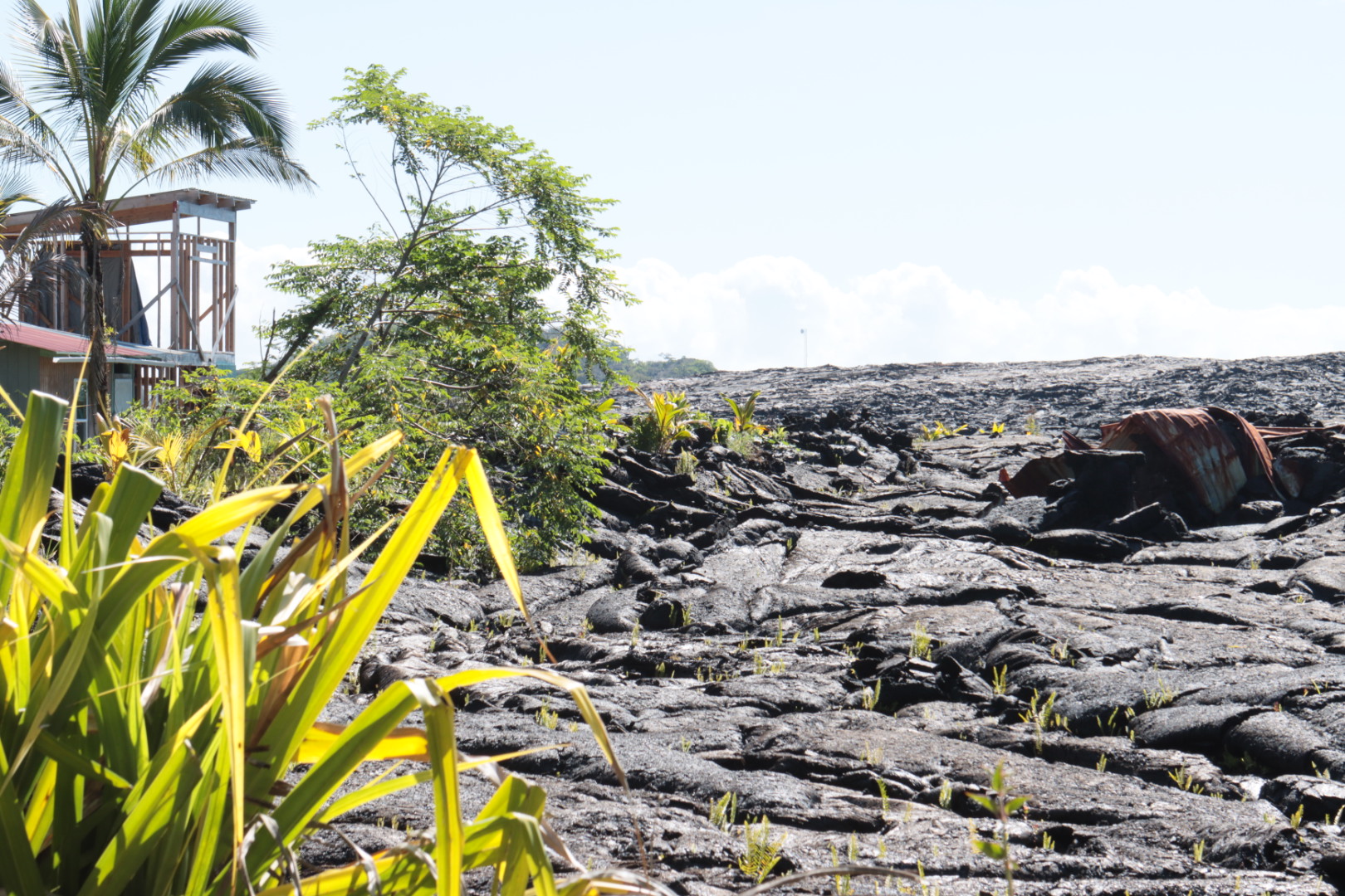
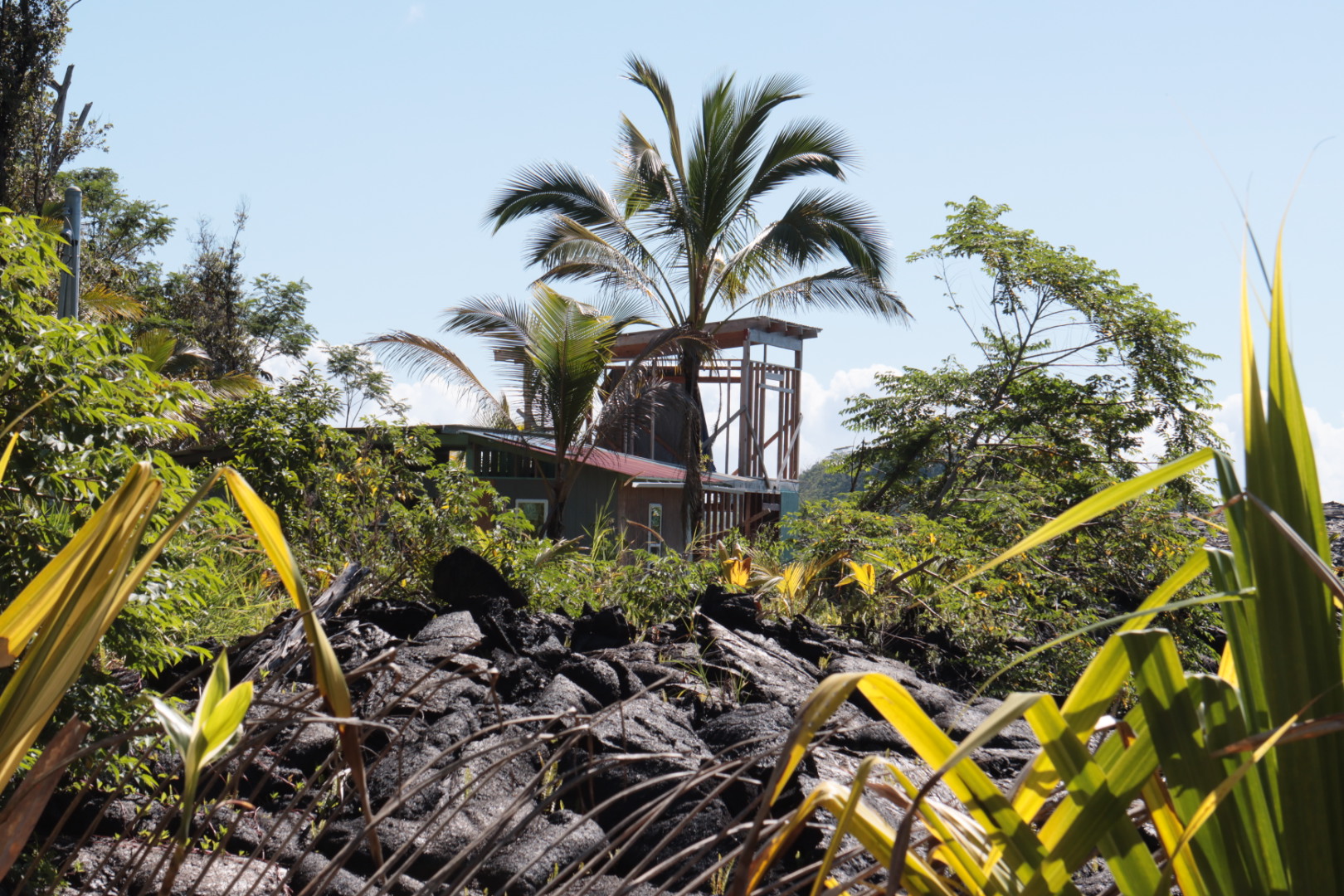
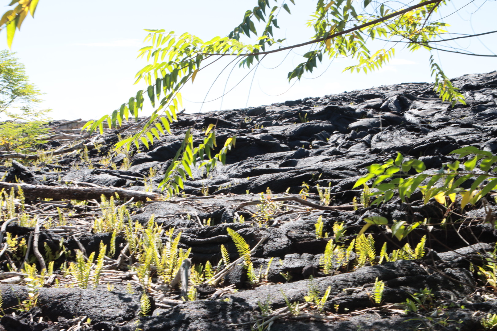
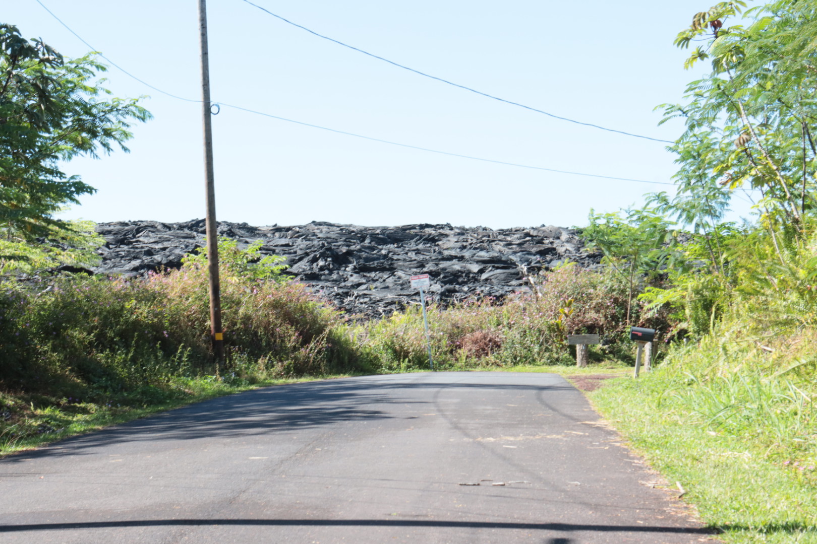
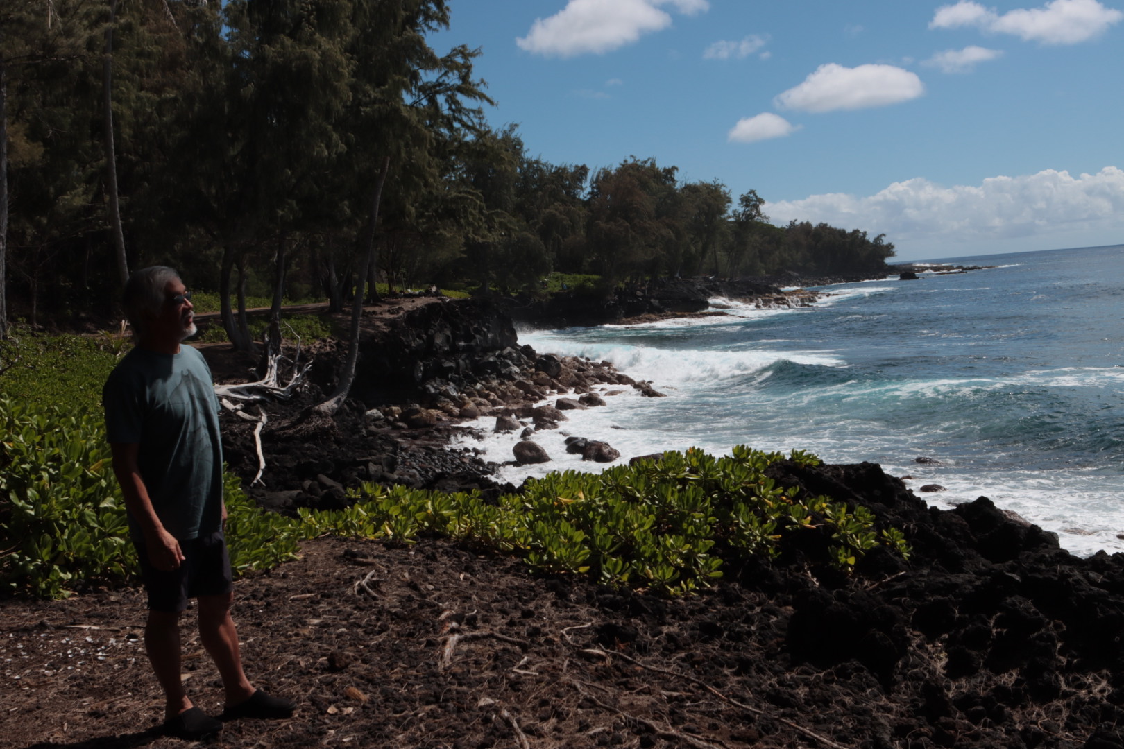
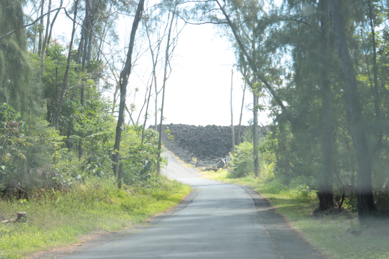
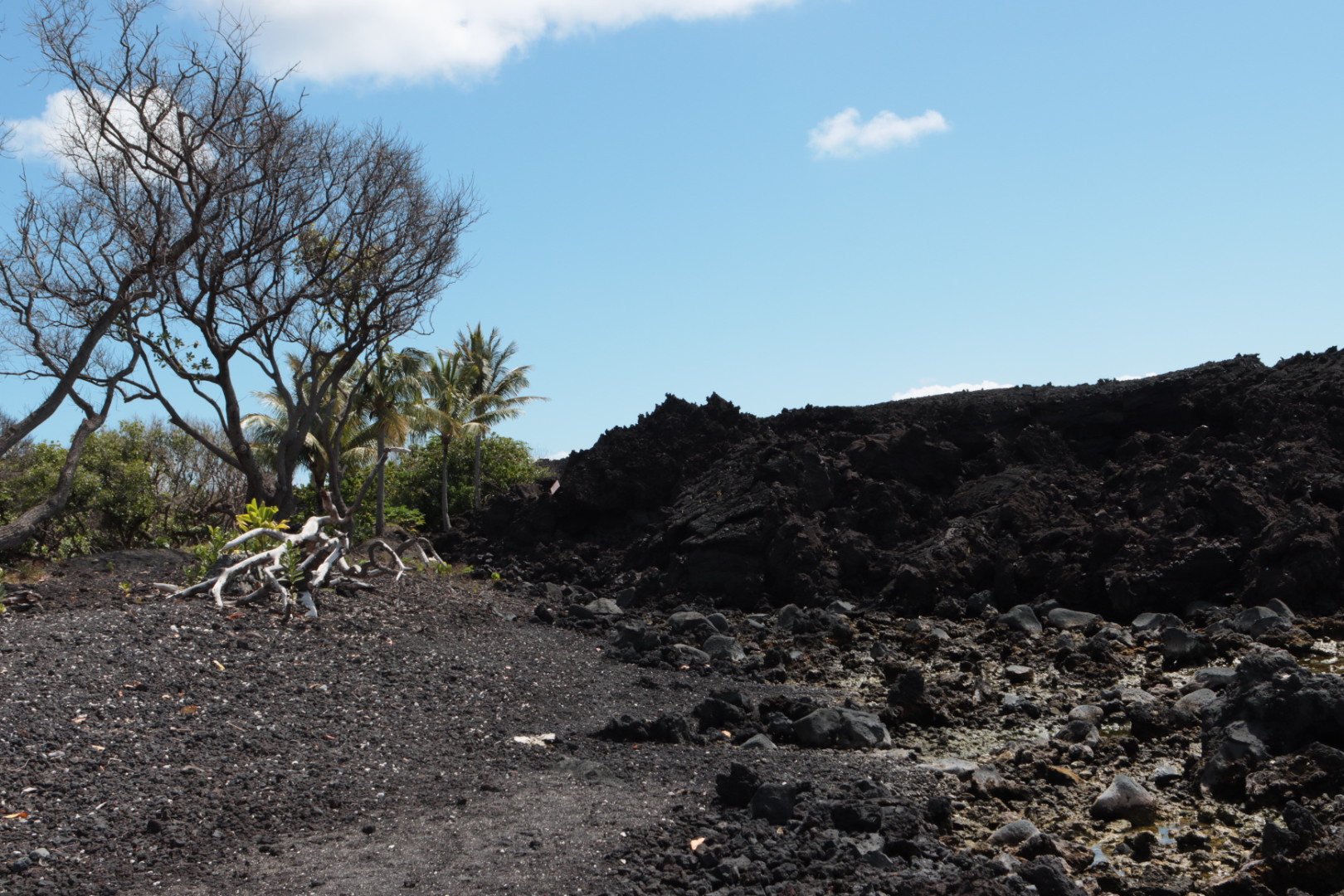
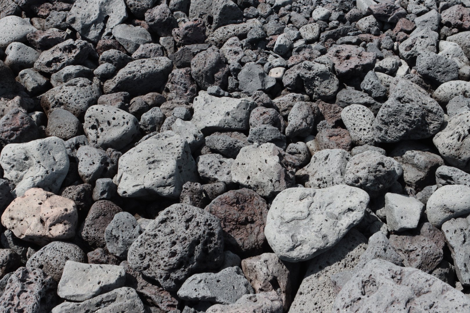
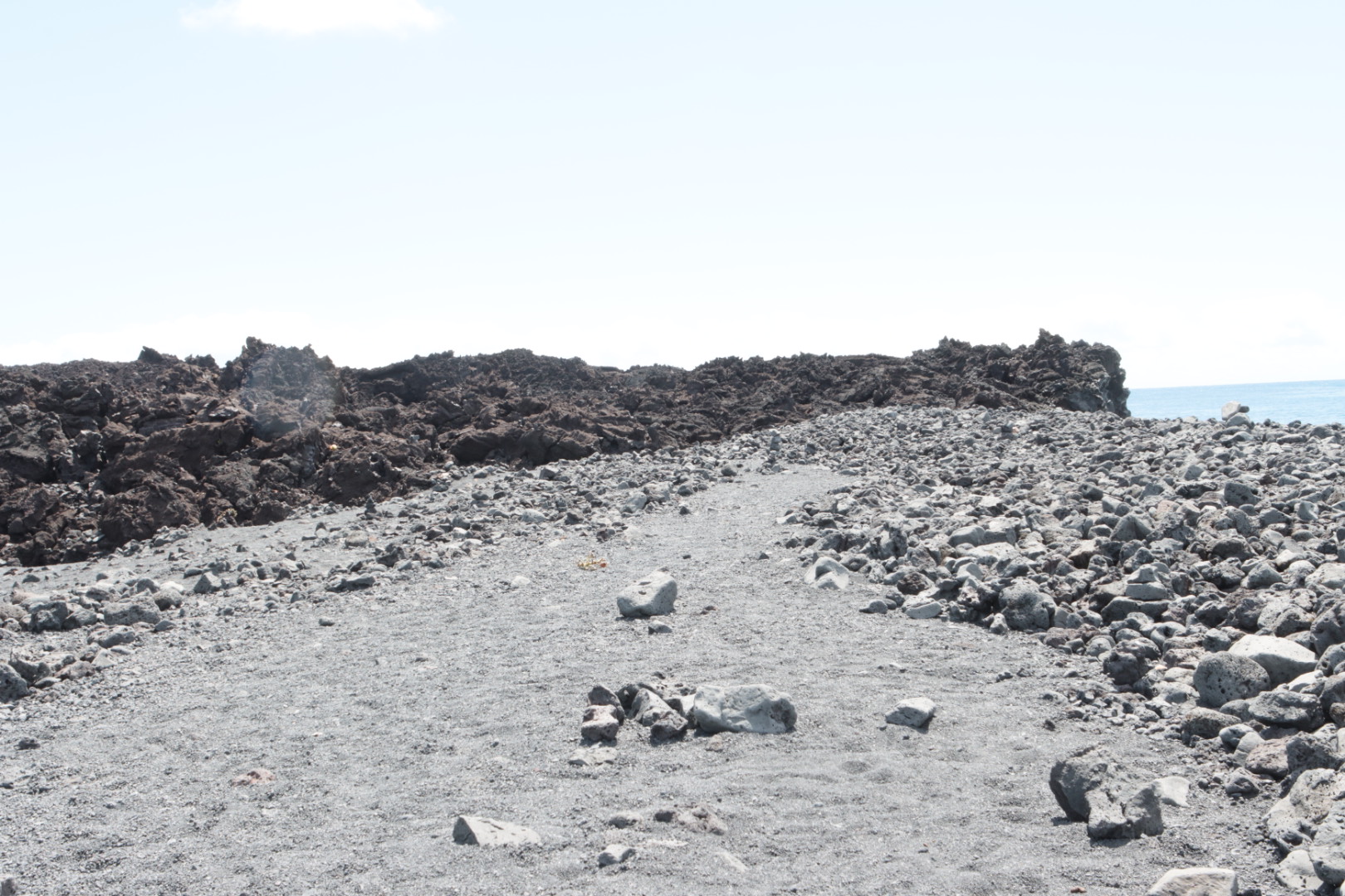
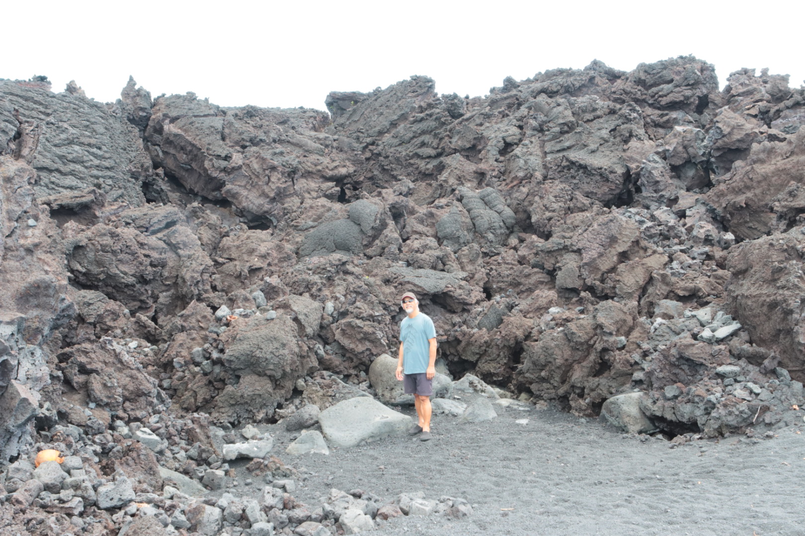
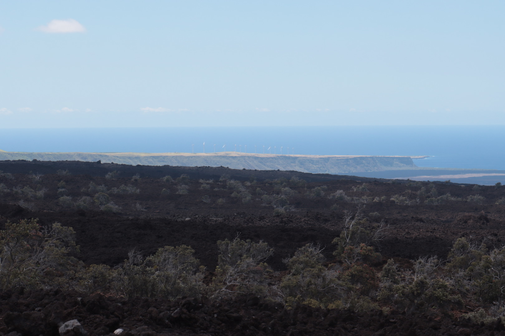
After our night in Volcano, HI, we drove thru the Leilani Estates and down to the south eastern coast of the island to see the destruction of the Fissure 8 eruption in May of 2018. Over 700 homes were destroyed and miles of land covered with lava, floating into the sea to enlarge the island.


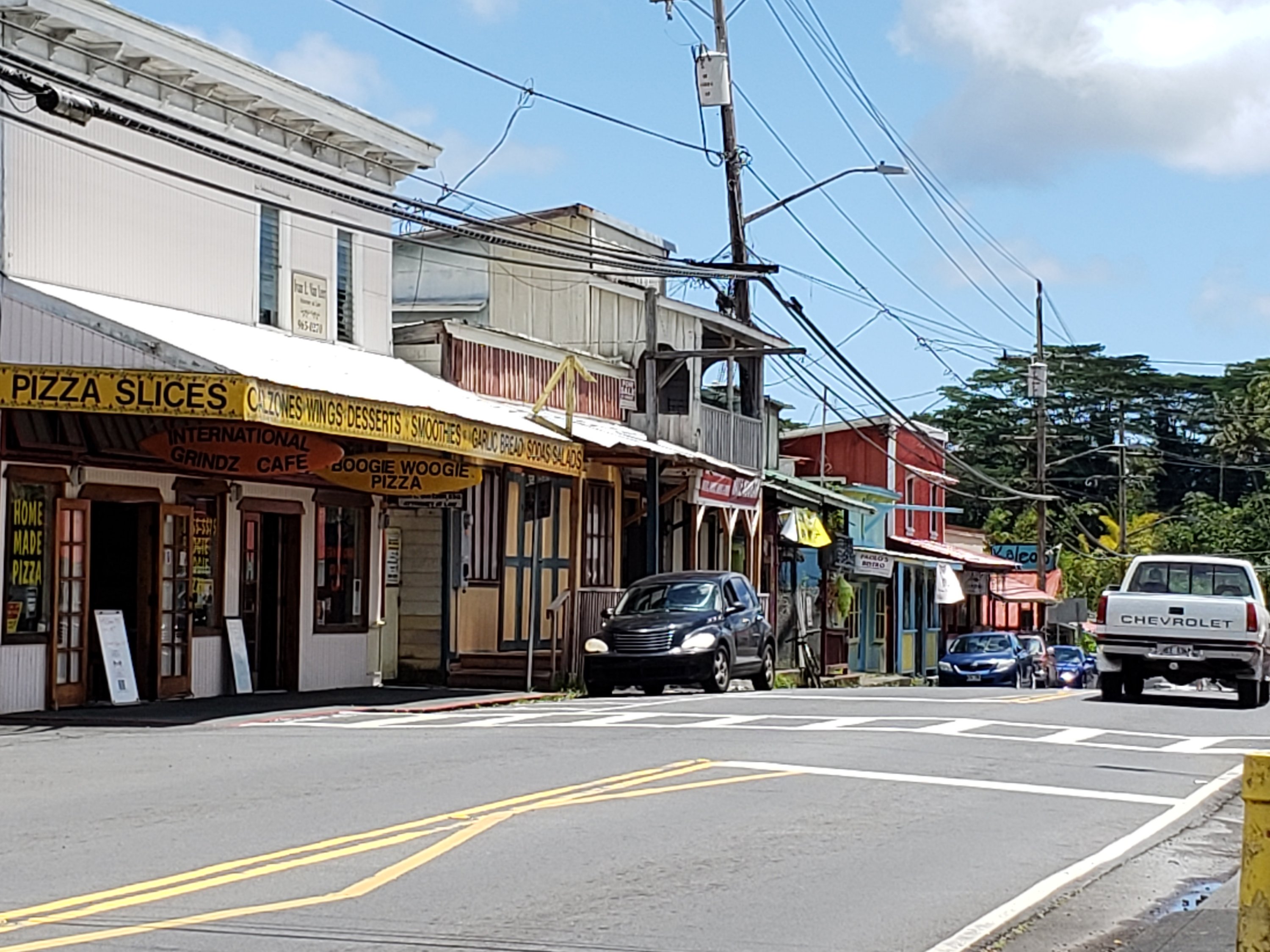
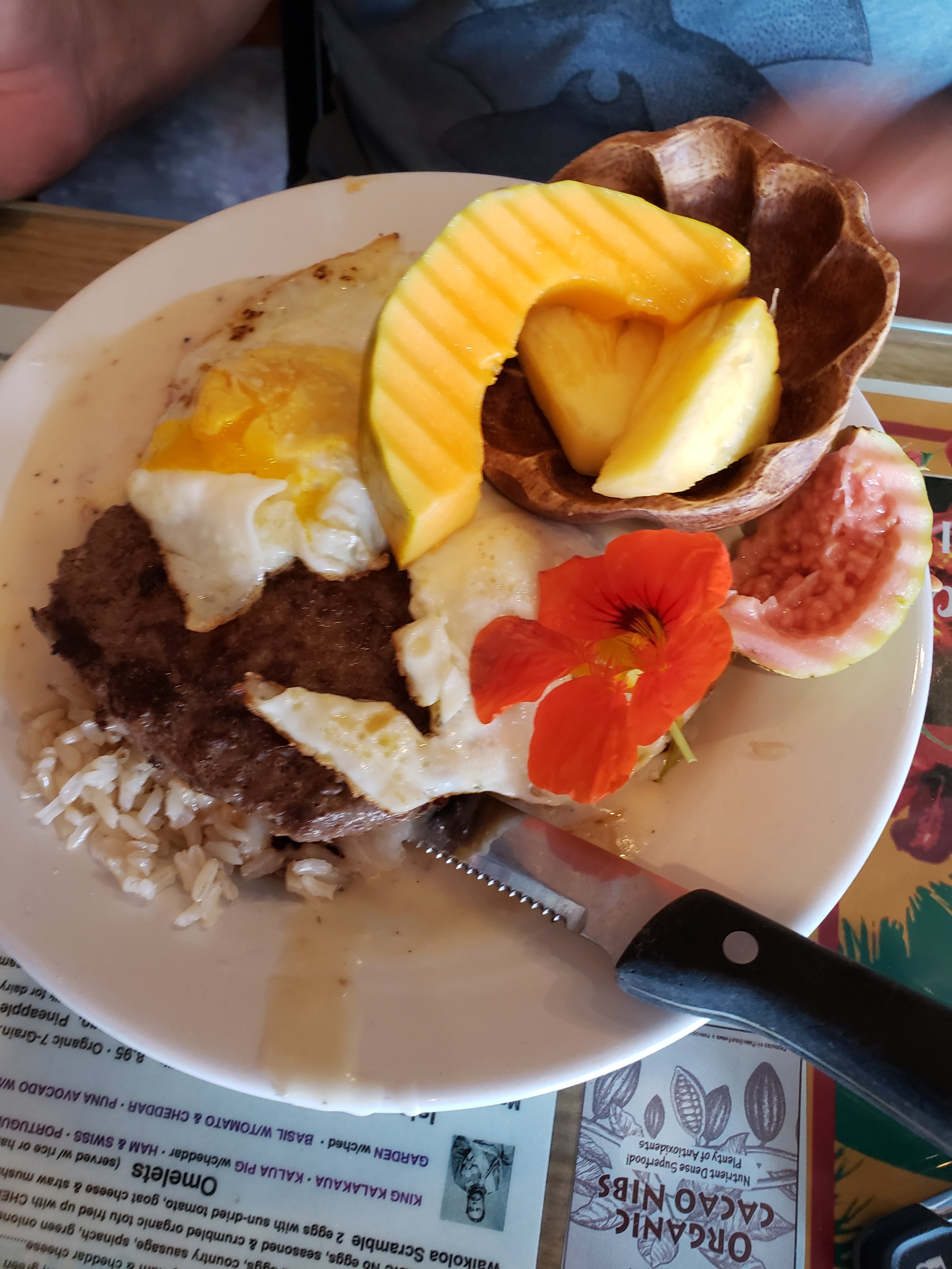
We stopped for lunch at Pepe’s Kitchen, in Pahoa, a small typically Hawaiian town close to the Leilani Estates. We met the proprietor who told us a bit about the destruction and made us a Hawaiian boat, a traditional gift from the native to the foreigner to bring them back to Hawaii again! He also made the most Beautiful locomoco and blintzes.


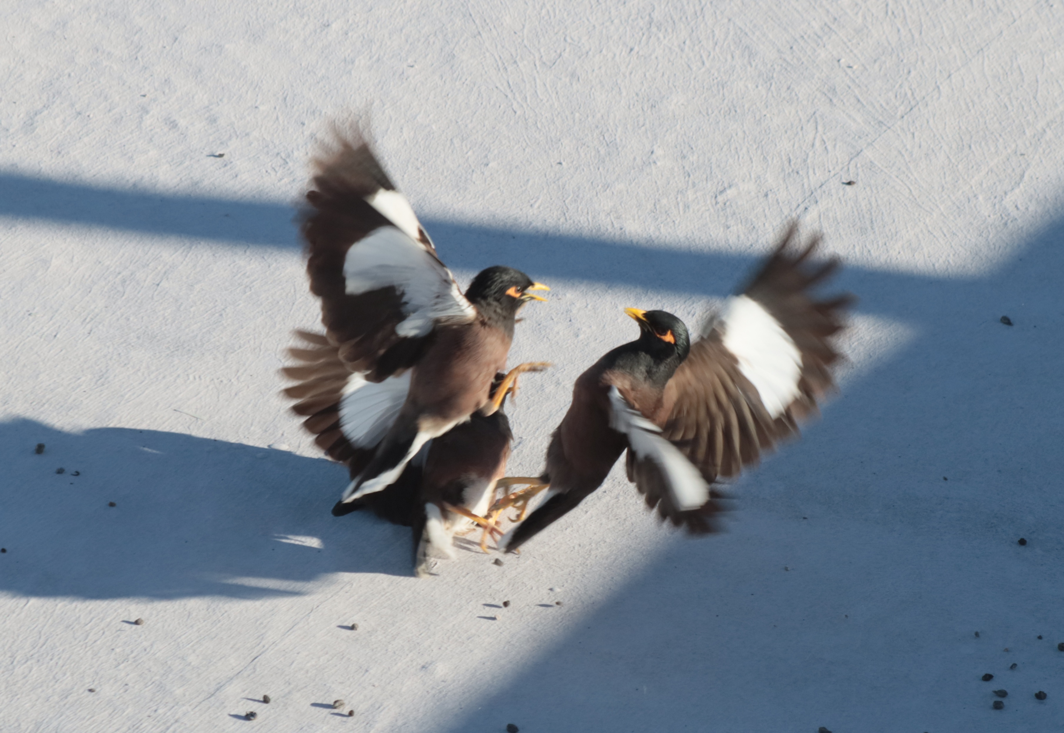
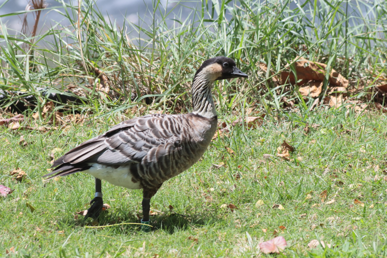
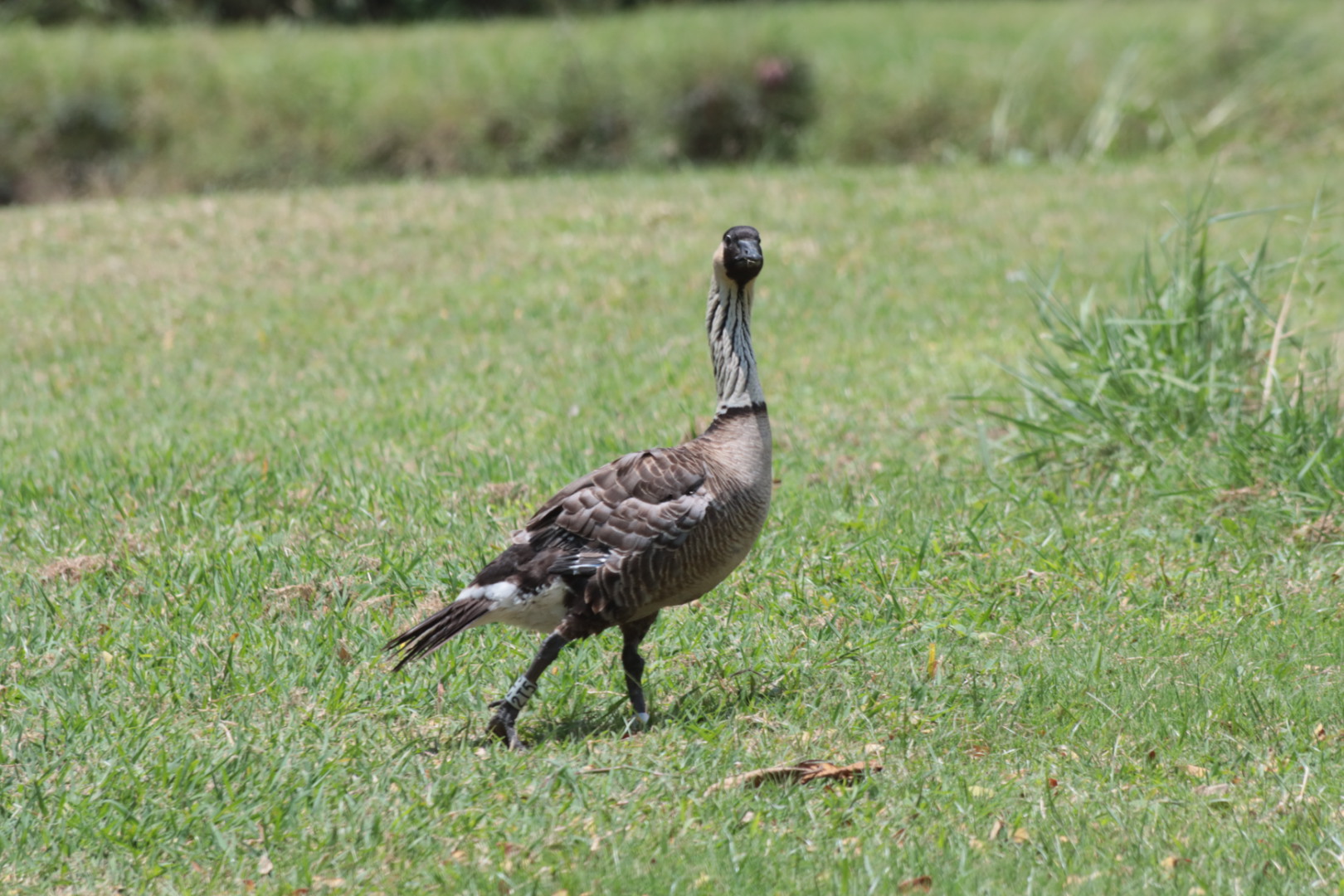
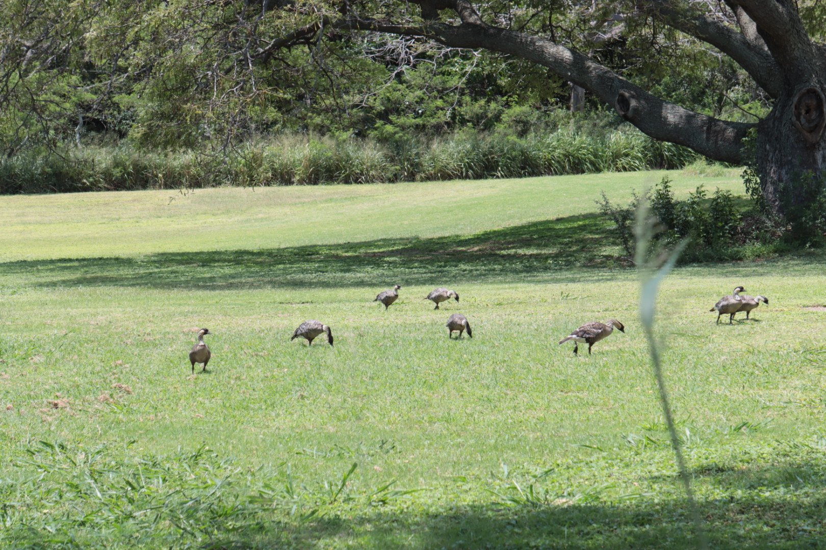
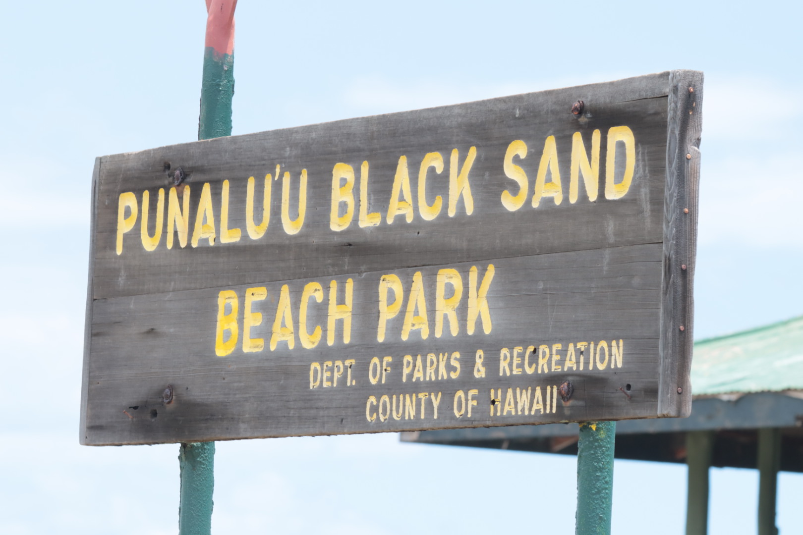
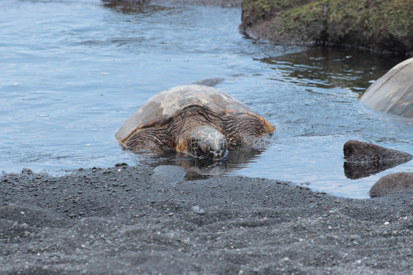
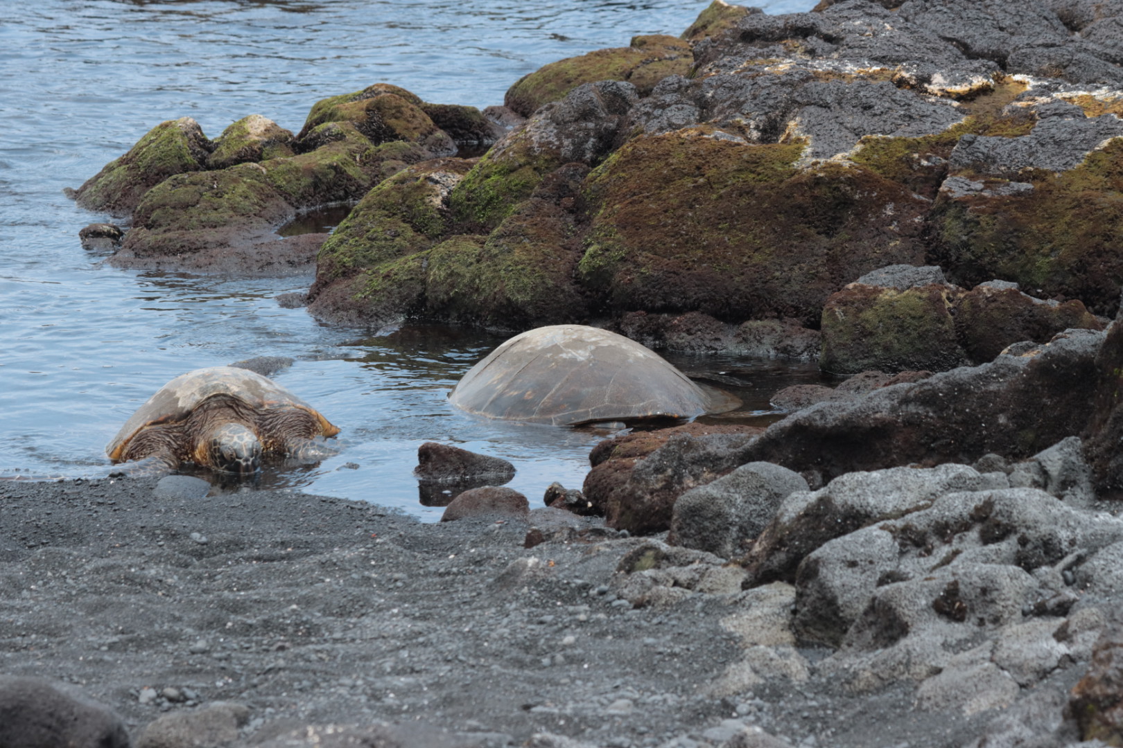
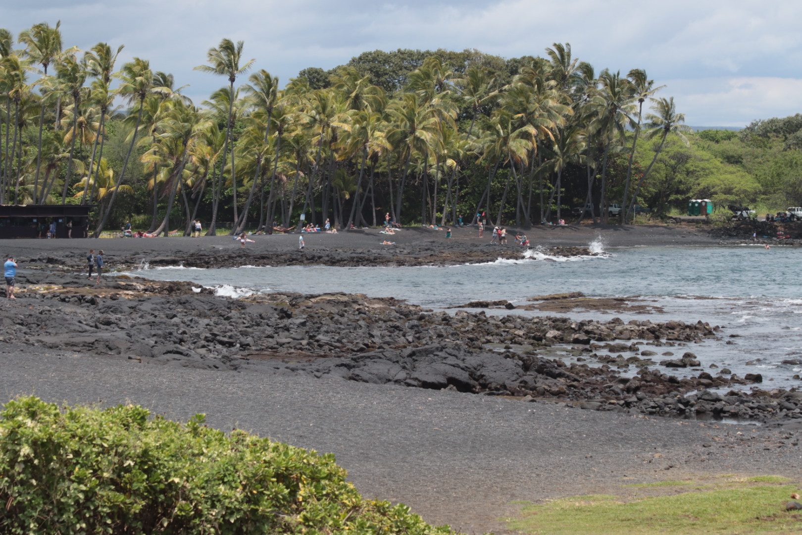
We decided to stay near Volcano, HI one night so we could take in more of the park and the devastation of the 2018 eruption in Leilani Estates. Our drive down the island of course had to include a stop at the Punalu’u Bakery and the black sand beach. Sorry, we gobbled down the malasadas before we could take a picture! They made a great dessert for our picnic lunch at the beach. Near Sea Mountain Resort, at the golf course, we saw a flock of Nene, Hawaii ‘s state bird.


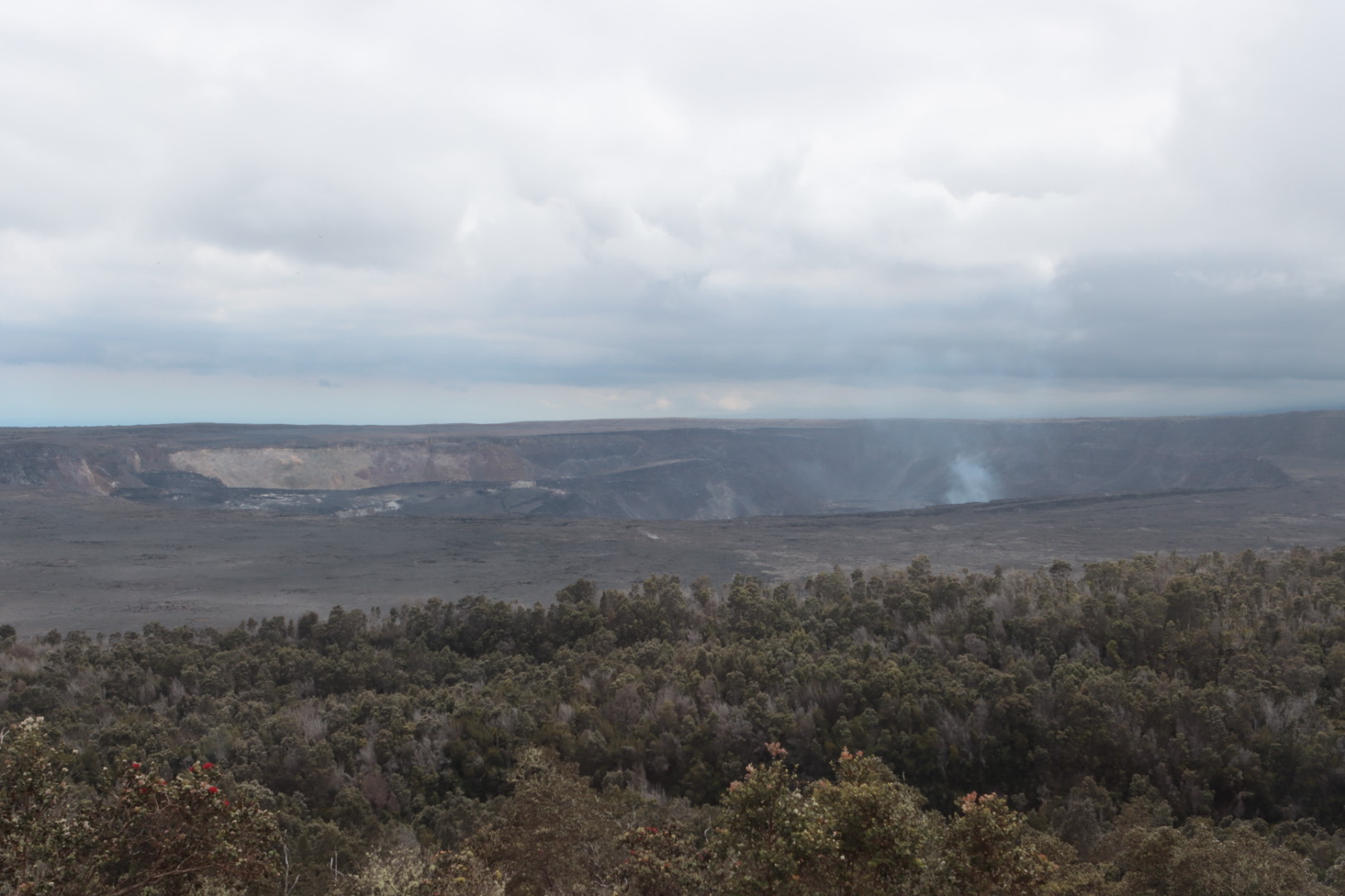
Our next stop was the national park and the Kilauea volcano summit. Since the lava lake is low right now, the bases enjoyed and the glow at night were minimal, but still interesting!